Map Scale Teacher Resources
Find Map Scale lesson plans and worksheets
Showing 213 resources
Rice University
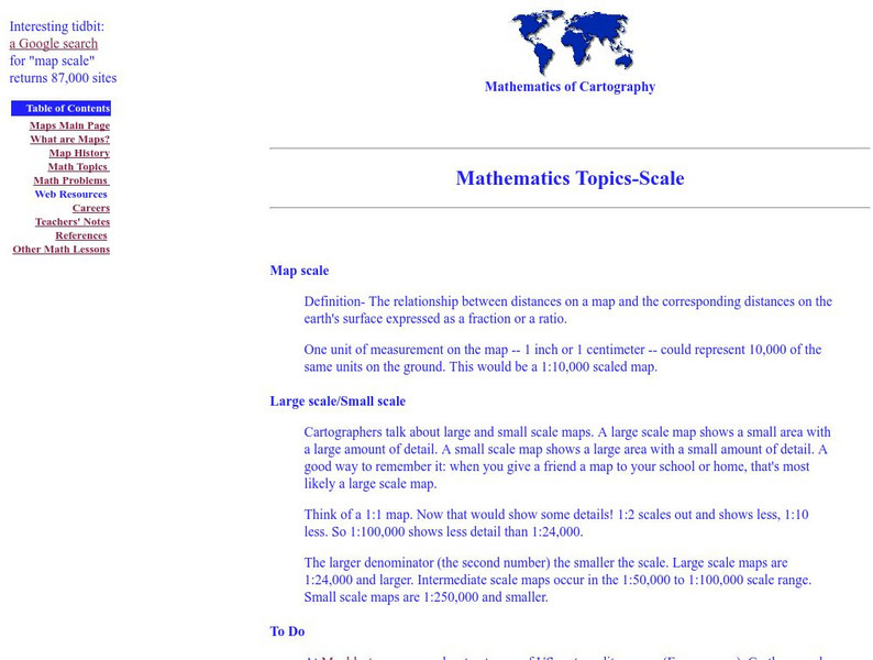
Rice University: Cynthia Lanius: Mathematics of Cartography: Scale
Definition of map scale with related cartography links and activity at Mapblast in which students create maps of their own and determine distance and scale.
Mocomi & Anibrain Digital Technologies
Mocomi: Types of Maps
Details on the different types of maps, scale, and symbols.
PBS
Pbs Learning Media: Aiming for the Basketball Hall of Fame
In this video segment from TV 411, two Atlanta Hawks players plan a driving route to reach the Basketball Hall of Fame. They use map scales to estimate their travel distances.
TeachEngineering
Teach Engineering: Hurricane! Saving Lives With Reasoning & Computer Science
Students develop and apply the distance formula and an x-y coordinate plane on a hurricane tracking map, and then use a map scale to determine distance in miles. Then, using MATLAB computer science programming language, students help...
TeachEngineering
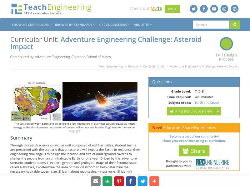
Teach Engineering: Asteroid Impact
Asteroid Impact is an 8-10 class long (350-450 min) earth science curricular unit where student teams are posed with the scenario that an asteroid will impact earth. They must design the location and size of underground caverns to save...
CK-12 Foundation
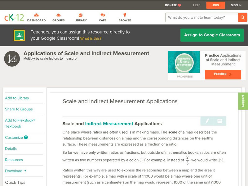
Ck 12: Algebra: Scale and Indirect Measurement Applications
[Free Registration/Login may be required to access all resource tools.] Use map scales and proportions to solve for unknown distances.
University of California
Us Geological Survey: Cartogram Central
The USGS offers detailed information on Types of Cartograms, Congressional Districts, Software for Cartograms, Publications, and a Carto-Gallery.
Science Education Resource Center at Carleton College
Serc: Mapping Your World
This activity serves as an introduction to mapping skills and the classroom. Students will create a map of the classroom, analyze and determine qualities that make a clear, concise map, then create a database of qualities they will use...
Houghton Mifflin Harcourt
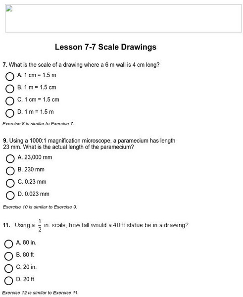
Holt, Rinehart and Winston: Homework Help Independent Practice: Scale Drawings
Get independent practice working with scale drawings. Each incorrect response gets a text box explanation and another try. Correct responses are confirmed.
Sophia Learning
Sophia: Scale: Lesson 2
This lesson defines the term scale and scale model. It is 2 of 9 in the series titled "Scale."
National Earth Science Teachers Association
Windows to the Universe: Changing Planet: Melting Glaciers
Young scholars sort photographs of glaciers and measure glacial retreat to observe how alpine glaciers have retreated over the past century. Includes a printable worksheet, links to relevant materials, and extension activities.
TeachEngineering
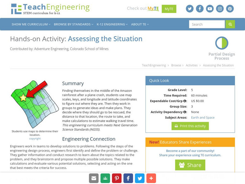
Teach Engineering: Assessing the Situation
In this activity, students will use the scale, the key, and longitude and latitude on a map to determine where they have crashed. They will then use the map scale to determine the distance to the nearest city and how long it will take...
Khan Academy
Khan Academy: Ratio Word Problem: Centimeters to Kilometers
Demonstrates how to use ratios to solve a map scale problem. [1:12]
Loyola University Chicago
Math Flix: Scale: Perspective
This QuickTime movie introduces various scales on maps from different perspectives. As you watch and listen to the teacher and student interact it helps clarify the thinking behind applying this concept.
Curated OER
History Matters: Making Sense of Maps
Very detailed site from History Matters containing an explanation of how to read maps and understand them. An excellent resource for teachers. The site covers how to begin, how to use a scale, how to create a flat map for a round world,...
ClassFlow
Class Flow: Map Sense
[Free Registration/Login Required] This flipchart reviews the basic components of maps: legend, scale, Compass rose and labels. Clips from United Streaming video are included to illustrate these concepts. Student assessment and a student...
Sophia Learning
Sophia: Scale: Lesson 3
This lesson defines the term scale and scale model. It is 3 of 9 in the series titled "Scale."
Sophia Learning
Sophia: Scale: Lesson 5
This lesson defines the term scale and scale model. It is 5 of 9 in the series titled "Scale."
Sophia Learning
Sophia: Scale: Lesson 1
This lesson defines the term scale and scale model. It is 1 of 9 in the series titled "Scale."
Sophia Learning
Sophia: Scale: Lesson 4
This lesson defines the term scale and scale model. It is 4 of 9 in the series titled "Scale."
Other
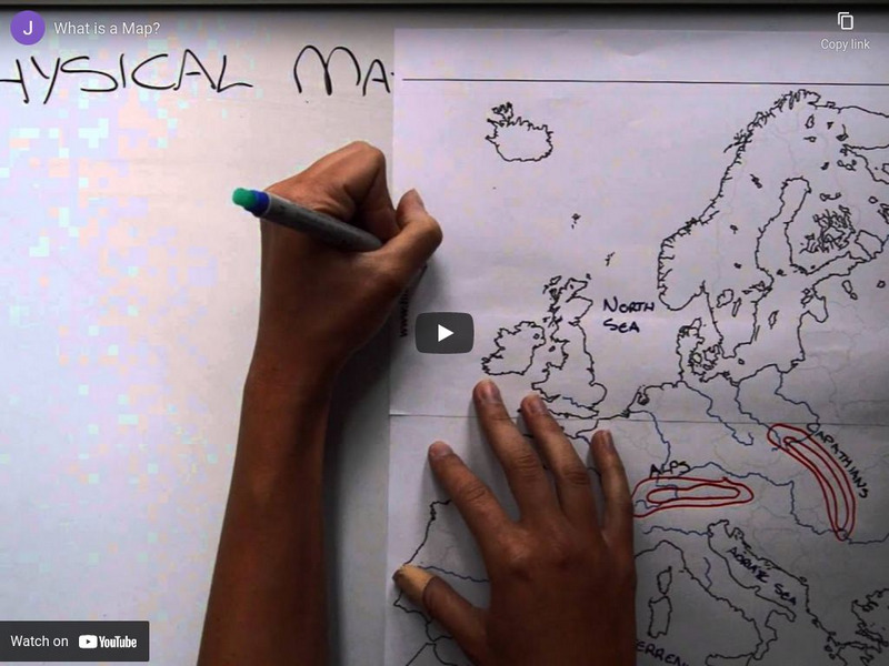
What Is a Map?
A cartography media project. Explains what the parts of a map are, some types, and some ways we use maps today. [2:54]
Curated OER
Educational Technology Clearinghouse: Maps Etc: Pre Colonial Africa, 1872
A map of Africa showing the continent prior to the Berlin Conference of 1885, when the most powerful countries in Europe at the time convened to make their territorial claims on Africa and establish their colonial borders at the start of...
Curated OER
Etc: Maps Etc: Physical, Political, and Economic Asia, 1872
A map of Asia from 1872, showing physical features including mountain systems, deserts, lakes, rivers with direction of flow, coastal features, and ocean currents, political boundaries and foreign possessions at the time, and commercial...
Other popular searches
- Using a Map Scale
- Map Scale Worksheets
- Map Scale Activities
- Geography Map Scale
- Map Scale Math Lessons
- Map Scale Math
- Geography Map Skills Scale
- Math Map Scales
- Map Scale Lesson Plans
- Using Map Scales
- Reading a Map Scale
- Using Map Scale Distance


