Hi, what do you want to do?
Other
Yukon: What a Rush
Presents current and historical information about the Yukon Territory in Northern Canada. Topics include history and economy, climate, transportation, and attractions. Click on a highlighted word for further details.
Other
Tourism Yukon: Yukon Communities
Take a virtual tour of the many Yukon communities from the cosmopolitan Whitehorse and historic Dawson Creek to the many located along the famed Alaska Highway.
Virtual Museum of Canada
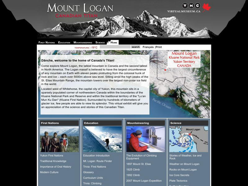
Virtual Museum of Canada: Mt. Logan: Canadian Titan
Mt. Logan in Canada's Yukon Territory is the tallest mountain in Canada and the second tallest in North America. Learn about the people who live around it, the history of mountaineering in the area, and the science - both geological and...
Other
Commissioner of Yukon
Each of the territories has a Commissioner instead of a Lieutenant Governor. The website of the Commissioner of the Yukon explains this role and its history.
Curated OER
Portrait of George Black, k.c., Commissioner of the Yukon Territory
Martha Louise Black a "Real Yukoner", this woman forged a path through gold rush history by braving the Chilkoot Trail to Dawson City. From there she became a legend!
Other
Canadian Tourism Commission: Maps canada.travel
This interactive map is an excellent student and teacher resource. Select Places to Go to show regions, provinces or territories and capital cities. Hover over the area to get links to more detailed information. Get up to the minute...
Other
Bird Life International: Bird Links to the World: Canada
There is a wealth of Canadian bird study links on this site. This page has general links for Canada. Clicking on each province or territory on a map takes you to links specific to that area.
Countries and Their Cultures
Countries and Their Cultures: Tutchone
This website gives some brief facts about the Tutchone people who inhabited the Yukon territory in Canada.
McGill University
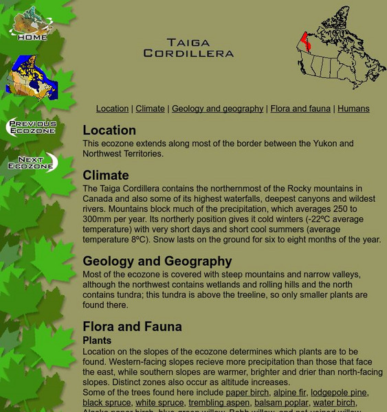
Mc Gill University: Canadian Biodiversity: Ecozones: Taiga Cordillera
The Taiga Cordillera extends along the border of the Yukon and Northwest Territories. This is a brief, concise description of the location, climate, geology and flora and fauna. It includes a collection of images of the landscape as well...
Blackdog Media
Classic Reader: Burning Daylight by Jack London
Read the full text of the adventure story "Burning Daylight" by Jack London which takes place in the Yukon territory and follows the ups and downs of a successful entrepreneur of the Gold Rush.
Smithsonian Institution
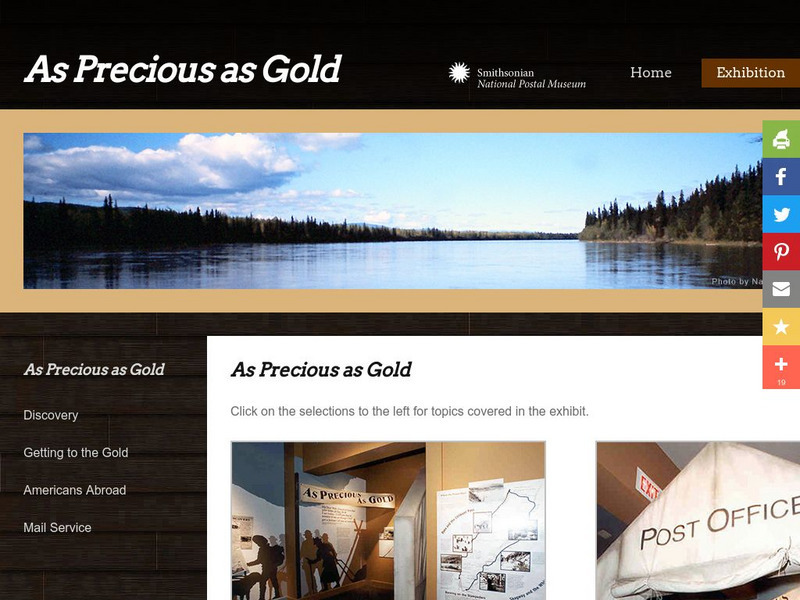
National Postal Museum: As Precious as Gold
"As Precious as Gold," is an online exhibit from the National Postal Museum which explores the rich history of the Alaskan/Klondike gold rushes. Find stories on extraordinary women, the trails, the Palm Sunday avalanche, the U.S. Postal...
Other
Nahanni River Adventures: Slideshows
A collection of slideshows of adventures along northern rivers of British Columbia, the Yukon, the Northwest Territories and Nunavut. The scenery is spectacular.
Curated OER
Etc: Maps Etc: British Columbia, Alberta, and Saskatchewan, 1911
A map from 1911 of British Columbia, Alberta, Saskatchewan, and the southern portions of Yukon and the Northwest Territories. The map shows the provincial capitals of Victoria, Edmonton, and Regina, and territorial capital of White Horse...
Curated OER
Etc: Maps Etc: The Dominion of Canada and Newfoundland, 1902
A map from 1902 of the Dominion of Canada, showing provinces, province capitals and major cities, railroads, canals, mountain systems, lakes, rivers, and coastal features. Symbols on the map indicate the head of navigable rivers (anchor...
Curated OER
Educational Technology Clearinghouse: Maps Etc: North America, 1903
A map from 1903 of North America. The focus of this map is the Dominions of Canada, showing the transportation network in from Montreal east to Quebec and Nova Scotia, and west to Vancouver, British Columbia. The map shows the...
Curated OER
Educational Technology Clearinghouse: Maps Etc: The Dominion of Canada, 1901
A map from 1901 of the Dominion of Canada and Newfoundland (Newfoundland and Labrador were not part of the Canadian Confederation until 1949), showing the provinces at the time, provincial capitals, major cities, towns, and settlements,...
Curated OER
Educational Technology Clearinghouse: Maps Etc: The Dominion of Canada, 1899
A map from 1899 of the Dominion of Canada and Newfoundland (Newfoundland and Labrador were not part of the Canadian Confederation until 1949), showing the provinces at the time, provincial capitals, major cities, towns, and settlements,...


