Curated OER
Europe Before and after WWI
Eighth graders compare and contrast maps of Europe before and after World War I. In this World War I activity, 8th graders color and label maps of Europe prior to the war and after it. The historical maps can be accessed online.
Curated OER
Map Skills
Students examine the nations, battlefields, troop movement of the Germans through Belgium and the location of both fronts during World War I by creating a map. They visualize the strength of the Germans early in the war.
Curated OER
Armenian Genocide
As your historians examine the beginnings of WWI, ensure they are familiar with the Armenian Genocide. This basic introductory lesson plan utilizes teacher-led discussion, map analysis, and a Socratic seminar. Not much detail is offered...
Curated OER
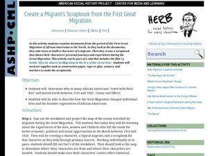
Create a Migrant's Scrapbook from the First Great Migration
Help young historians personally engage in the stories of African Americans during the Great Migration! Assessing a migration route map, learners create a migrant character's experience, adding details while studying primary sources. A...
Curated OER
World War I
Eighth graders examine the condition of the world from 1880 until the start of World War I. After watching a PowerPoint presentation, they discuss the causes and effects of the war and complete a study guide with a partner. To end the...
Curated OER
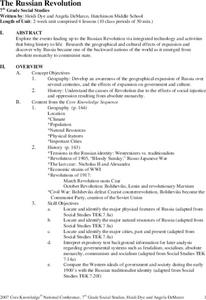
The Russian Revolution
Students complete a matching game based on geographic features of Russia and label a map with these features. In this geography and politics lesson, students identify resources and populations in Russia and complete a T-Chart on a video...
Curated OER
Selling Warfare - Propaganda Posters
Students examine the use and purpose of propaganda posters during World War I. They work in groups to create a propaganda poster supporting a nation's war effort.
National Geographic
National Geographic: European Borders Through History
Lesson in which learners use maps to explore how European political borders have changed over time. Maps after WWI, WWII and European Union provided for comparison.
World War 1
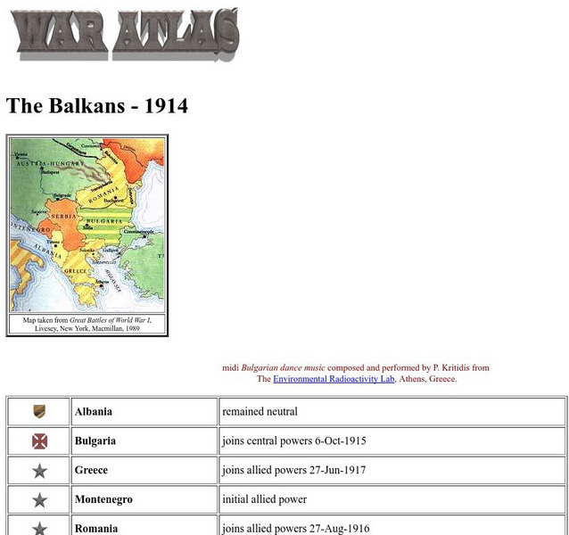
Worldwar1.com: Trenches on the Web: War Atlas: The Balkans 1914
Contains a map of the Balkans, a list of the countries there, and their political positions in World War I.


