Hi, what do you want to do?
Curated OER
Would You Like to Attend School in Japan?
Sixth graders construct pro and con T-charts about their education system and that of Japan. They choose which system they prefer and give five reasons for it. Their reasons must be based on strong arguments and evidence.
Curated OER
Lesson 2: Mapping With Words
Students demonstrate an understanding of the personal relationship that Wabanaki peoples had with the land by analyzing selected Wabanaki place names. They practice map-reading and map-making skills.
Curated OER
Mr. Bush in Washington
Students study about George Washington Bush and write a biography about him in a small group. To gain a better understanding of him, they listen to a biography on a tape about him. They visit various sites about him to help them examine...
Curated OER
America the Beautiful
Students listen to a read-aloud discussing the landmarks of the United States. In pairs, they use the internet to research a landmark of their choice. They create a visual aid to be given with a presentation sharing the information...
Curated OER
A Document-Based Essay on Korean Social Change
Students interpret historical evidence presented in primary resources. In this Korean history lesson, students examine the provided information on life in Korea. Students respond to the questions that accompany each source. Students then...
Curated OER
Paint My Counties: Map Coloring the Counties of Arizona
Fourth graders identify the counties of Arizona. In this social studies lesson, 4th graders color a county map of Arizona using the fewest number of colors possible. Students write a persuasive paragraph.
Curated OER
Scavenger Hunt for Ancient Egypt
Seventh graders do a scavenger hunt in order to investigate Ancient Egypt.
Read Works
Read Works:north America:comparing Data From Different Countries Around the World
[Free Registration/Login Required] A chart with land and population data from Canada, the United States of America, the United Kingdom, and Japan. A question sheet is available to help students build skills in reading comprehension.
Other
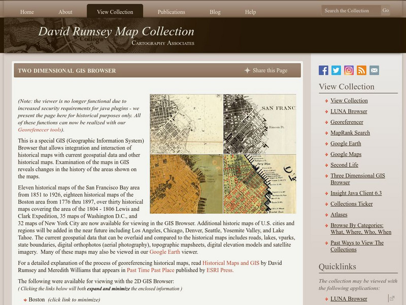
David Rumsey Historical Map Collection
The collection of more than 150,000 maps focuses on rare 18th and 19th-century maps of North and South America, although it also has maps of the World, Asia, Africa, Europe, and Oceania. The collection includes atlases, wall maps,...


