Curated OER
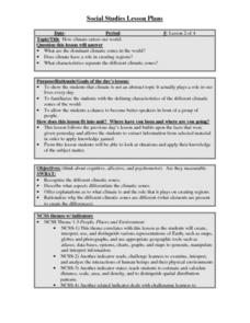
How climate enters our world
Learners recognize the different climatic zones. They describe what aspects differentiate the climatic zones. Students offer explanations as to what climate is and the role that it plays on creating regions. They rationalize why the...
Curated OER
World Climate Growing Zones
Students create a map showing where crops would be grown around the world. In this crops lesson plan, students show how the world climate would produce different parts of the world at different times. Students fill out worksheets.
Curated OER
The United States and Canada: Climate and Vegetation
Display U.S. and Canadian climate and vegetation through this text-companion worksheet. Learners read about the geography of these regions, take notes, and answer 3 comprehension questions as they read the selection. A graphic organizer...
Curated OER
Climate Survival
Students use information about different world climate regions to plan how to survive in a particular climate zone for one year. They present their survival plans.
The New York Times
Soccer Fever: Learning About the World Cup in Brazil
What an incredible collection of ideas for teaching about the 2014 World Cup in Brazil! This resource is packed with news articles and instructional activities on a wide variety of topics, from the global popularity of soccer and the...
Curated OER
Exploring Hawaiian Mountain Zones
Fourth graders watch a video that describes the climate and vegetation zones of Hawaii. They describe the different physical conditions that create vegetation zones from the sea to the mountains. In groups, they create an illustrated...
Curated OER
Brochures
Students discuss how the climate in their area affects they way they live their life. In groups, they identify the climate zones throughout the world and research one country of interest to them. To end the activity, they make a...
Curated OER
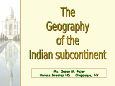
The Geography of the Indian Subcontinent
Gloriously adorned with a glimpse of the Taj Mahal, these slides detail important facts and characteristics of South Asian cultures, such as India, Pakistan, Afghanistan, and several other surrounding countries. Slides cover the...
Curated OER
The Geography of the United States
Full of bright maps and interesting information, this presentation details U.S. Geography. Slides include basic facts about size, regions, topography, and demographics, as well as fascinating trivia about the United States, including...
Curated OER
The Geography of Africa
Hop a flight to Africa in this presentation, which includes brilliant and appealing photographs of the continent as well as maps and graphs about its geography, topography, and climate. Those who are researching Africa for a project or...
Curated OER
The Geophysics And Cultural Aspects of the Greater Antilles
Students determine location by using longitude and latitude. They measure to the minute longitude and latitude of a place and select a body of land and determine its location. They approximate time zones by using every 15 degrees of...
Curated OER
The United States and Canada Review Worksheet and Study Guide
For this geography skills worksheet, students respond to 34 short answer questions about the geographic features and climates found in the United States and Canada.
Curated OER
Location of Cities 201
Students work in pairs to locate the ancient cities on a world atlas using the longitude and latitude measurements. They examine the physical and human futures that explain their locations.
Curated OER
Geography of Korea
Students are introduced to the geography of Korea. Using the internet, they identify the weather and climate in the country and create a week weather chart for Korea's four seasons. They complete an interview with a local weatherman...
Curated OER
Where in the Latitude Are You? A Longitude Here.
Students distinguish between latitude and longitude on the map. In this mapping lesson, students participate in mapping skills to recognize spatial relationships, and where to find natural resources on the map. Students create...
Curated OER
Elements of Biology: Biomes
Students describe the different types of biomes. In this biology lesson, students create a map of assigned biome with descriptive paragraphs. They share their findings to class.
World InfoZone
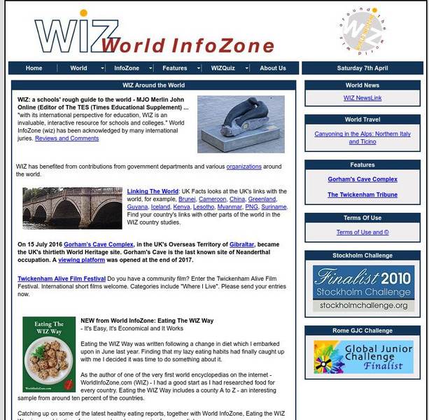
World Info Zone
Detailed, comprehensive information on countries and people all over the world. Great tool for discovering facts on world issues, seeing photos, and just exploring the world in general. Also includes quizzes based on the website's content.
Other
Mcdwn: Climate
Wonderful site! Learn about climates and gather helpful information. When you are done, take the climates quiz to show what you have learned.
World InfoZone
World Info Zone: Saudi Arabia
This page includes information about Saudi Arabia, including geography, environment, languages, religion, population, and more. Read how the plants and animals adapt to its hostile climate.
National Weather Service
National Weather Service: Jet Stream: Climate
The Online School for Weather discusses the world's major climate categories based upon general temperature profile related to latitude.
World InfoZone
World Info Zone: French Guiana
A compilation of facts and information of the South American country of French Guiana. Discusses its history, geography, environment, food, economy, arts, and more. There are a few photos that show the beauty of the country.
Wikimedia
Wikipedia: Temperate Climate
Wikipedia article providing a brief description of temperate climates and their characteristics.
World Facts US
World Facts: Geography of Bolivia
Here you can learn much detailed information on the geography of Bolivia. Bolivia is divided into three geographic zones: mountains and Altiplano, Yungas and other valleys, and the lowlands. Also discusses the climate and provides a...
Geographyiq
Geography Iq
Detailed geographical information on any country is available at this site. Within the World Map section, you can get facts and figures about each country's geography, demographics, government, political system, flags, historical and...
