Miama-Dade County Public Schools
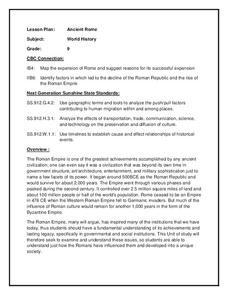
Ancient Rome
This resource outlines several general activities for a study of Ancient Rome, and includes guiding questions, a handout on the story of Romulus and Remus, and ideas for incorporating mapping and timeline activities into your review.
Curated OER
Latitude/Longitude Activity
Youngsters work in groups to solve clues involving latitude and longitude coordinates in order to decipher mystery animals in this fun learning experience!
National Geographic
National Geographic: Mapping u.s. Watersheds
Students will identify and explore major rivers and watersheds in the United States.


