Hi, what do you want to do?
Other
At Home in the Heartland: At Home on the Fringes of the Prairie (1800 1850)
Interactive site offers information and pictures pertaining to early pioneer life. See advertisements in the paper, furniture, glassware, and food preparation tools. Read stories of individuals who lived during that time and make...
Independence Hall Association
U.s. History: Westward Expansion: The Louisiana Purchase
Read about the fortuitous purchase made that doubled the size of the United States. See why Napoleon was willing to sell the land, and find out about the quandary Thomas Jefferson was in as he had to go against his strict construction...
Independence Hall Association
U.s. History: Gold in California
The gold rush in California accelerated the western migration of thousands of young American men, who streamed into California to find riches. See who else arrived in California and find out what they did. In addition, there is a map...
Curated OER
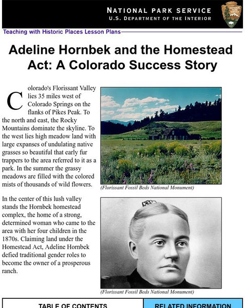
National Park Service: Adeline Hornbeck and the Homestead Act
This Teaching with Historic Places lesson effectively depicts the life of a pioneer woman and ways in which the Homestead Act impacted her life. The site includes lesson plans, inquiry questions, and photos that may be used in covering...
Independence Hall Association
U.s. History: Jeffersonian Ideology
An easy to understand overview of the thinking of Thomas Jefferson in terms of politics and the role of the people in political action. See what he feared as the nation was becoming industrialized, and read about the contradictions in...
Independence Hall Association
U.s. History: The Missouri Compromise
A good look at the issues debated about the admission of new states, particularly those that would be made from the Louisiana Purchase. Read about why the issue of allowing slavery in the new states was such a hard decision for Congress....
Curated OER
Etc: Development of the Northwest Territory in Us, 1790 1810
A map of the American Northwest Territory showing the boundary developments in 1790, 1800, and 1810. The upper left map shows the territory acquired by the United States from Britain after the Revolutionary War as established by the...
Curated OER
Etc: Expansion of the United States , 1783 1853
A map from 1904 of the United States showing the territorial acquisitions up to the Gadsden Purchase in northern Mexico in 1853. The map is coded to show the territory of the original United States and the Northwest Territory defined by...
Curated OER
Etc: Expansion of the United States, 1783 1853
A map from 1904 of the United States showing the territorial acquisitions up to the Gadsden Purchase in northern Mexico in 1853. The map is coded to show the territory of the original United States and the Northwest Territory defined by...
Curated OER
Etc: Expansion of the United States, 1783 1853
A map from 1912 of the United States showing the territorial acquisitions up to the Gadsden Purchase in northern Mexico in 1853. The map is color-coded to show the territory of the original United States and the Northwest Territory...
Independence Hall Association
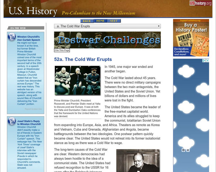
U.s. History: The Cold War Erupts
World War II ended in 1945 and the Cold War began immediately. Read about the mistrust Western Europe and the United States felt towards the Soviet Union and Joseph Stalin. Learn how the Soviets expanded their realm of influence and...
Curated OER
Us Troops Were Rushed to Western Europe in the 1950s to Deter Soviet Expansion
A fantastic history of NATO. From its inception after WWII to its call to action during the Kosovo crisis, the BBC does a great job of giving readers a well-rounded look at the institution. Includes a map with all member countries as...
Curated OER
Etc: War in the Southwest, 1813 1815
A map of the southern Mississippi Territory, western Florida, and the Mississippi delta area showing the major battle sites of the Creek War in 1813-1814 (Fort Mimms and Tohopeka near the Battle of Horseshoe Bend) and New Orleans during...
Curated OER
Etc: Territorial Development of the United States, 1783 1889
A map from 1889 of North America showing the expansion in the region of the United States from the original Thirteen Colonies at the end of the Revolutionary War in 1783 to the time the map was made, around 1889, before the territories...
Curated OER
Etc: The Growth of the United States, 1776 1867
A map of the United States showing the growth of the nation from 1776-1867. The map is color-coded to show the thirteen original states, the territory acquired by conquest during the revolution and the Treaty of 1783, the Louisiana...
Curated OER
Etc: Territorial Development of the United States, 1783 1867
A map of the United States showing the growth of the nation from 1783-1867. The map is color-coded to show the thirteen original states, the territory acquired by conquest during the revolution and the Treaty of 1783, the Louisiana...
Curated OER
Educational Technology Clearinghouse: Maps Etc: The New West, 1889 1912
A map of the western United States showing the rapid growth of the New West between 1885 and 1912 during the presidencies from Benjamin Harrison to Howard Taft. The map is color-coded to show the States admitted to the Union before the...
Curated OER
Etc: Santa Fe and Oregon Trails to the Pacific Coast, 1840 1850
A map of the western United States in 1840-1850 showing the Oregon Trail and Santa Fe, the two principal overland routes from Independence, Missouri, to the western territories and the Pacific. The map shows the territory boundaries,...
Curated OER
Educational Technology Clearinghouse: Maps Etc: The United States, 1800
A map of the United States in 1800 showing the original thirteen states with the additions of Vermont (1791), Kentucky (1792), and Tennessee (1796), the State claims to western lands by South Carolina and Georgia, the extent of the...
Curated OER
Educational Technology Clearinghouse: Maps Etc: Treaty With Spain, 1819
A map of the western United States and northern Mexico showing the territorial disputes settled and boundary established by the Adams-Onis Treaty between the United States and Spain in 1819. The territorial disputes involved the natural...
Curated OER
Educational Technology Clearinghouse: Maps Etc: United States, 1789
A map of the United States in 1789, showing the State territorial claims, territories, and areas of territorial dispute. The map is color-coded to show States, territories, British possessions, and Spanish possessions, and shows the...
Curated OER
Educational Technology Clearinghouse: Maps Etc: Louisiana Purchase, 1803
A map of the Louisiana territory purchased from France in 1803, and the boundary established with the western Spanish territory by the purchase.
Curated OER
Educational Technology Clearinghouse: Maps Etc: Compromise of 1850, 1850
A map of California and the western territories at the time of the Compromise of 1850. The compromise was a series of bills dealing with the slavery issue, and under its provisions California was admitted to the Union as a free state,...
Curated OER
Educational Technology Clearinghouse: Maps Etc: Oregon Controversy, 1792 1846
A map of the Oregon Territory between the time of exploration by George Vancouver (1792) and the Oregon Treaty of 1846. The map is color-coded to show the disputed claims of the British and United States, the Russian American line of...


