American Battlefield Trust
Gettysburg Virtual Tour
Step into one of the most iconic battlefields of the American Civil War with an educational interactive resource. Young historians learn about key moments, locations, soldiers, and turning points in the battle with a clickable map and...
Curated OER
Robert E. Lee Quiz
In this online interactive Civil War worksheet, students respond to 10 multiple choice questions about Robert E. Lee. Students may check their answers immediately.
Curated OER
First Nations vs. Euro-Americans
Students analyze primary and secondary source documents to help them describe the cooperation and conflict that existed among the American Indians and new settlers. Then, students analyze the purpose, challenges, and economic incentives...
Curated OER
Fine Tuning a Nation: Using Cartoons
Learners examine political cartoons to gain an understanding of the political issues that George Washington faced. In this historical perspectives lesson plan, students analyze political cartoons about the National Bank, the title...
Curated OER
The Monroe Doctrine: U.S. Foreign Affairs (circa 1782-1823) and James Monroe
Students read the test of the Monroe Doctrine then list the key points and discuss its central tenets.
Curated OER
Survey of the Louisiana Purchase in 1815
Students explore the survey of the Louisiana Purchase by creating their own surveying and mapping techniques such as natural maps, pace maps, and orienting. Other students then try to follow the maps.
Curated OER
19 Chains and 50 Links
Students investigate surveys as it relates to chains and links. In this math lesson, students relate math to history and surveys done above, below and on the earths' surface. They review vocabulary pertaining to this lesson before moving...
Curated OER
Globe Skills Lesson 5
In this map skills learning exercise, students read a text selection about locations during the American Revolution and then respond to 8 fill in the blank questions.
Curated OER
Surveying: 19 Chains and 50 Links
Through an interdisciplinary lesson, emerging engineers explore the history of surveying systems. After discussing various systems, they perform surveys on printable pages. Using their geometric skills, they physically stake out plots...
Other
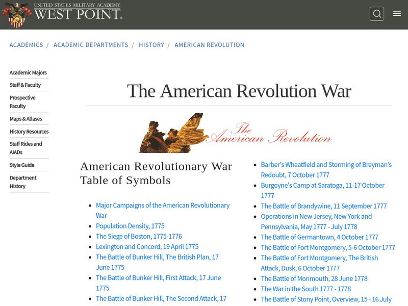
West Point: The American Revolution
A series of strategic maps, including battlegrounds, camp areas, sieges, and other key events of the American Revolution. In addition, students and teachers will find PowerPoint presentations on battles and campaigns of the American...
Pennsylvania Historical and Museum Comission
Explore Pa History: Molly Pitcher
A brief biographical sketch that explores the life and contributions of the Revolutionary War heroine and Pennsylvania native, known as Molly Pitcher.
Independence Hall Association
U.s. History: The Battle of Saratoga
The weeks leading up to the Battle of Saratoga were filled with disaster for the British troops. Read about the problems General Burgoyne had, and find out how the Americans took advantage of those problems to deliver a stunning defeat...
Curated OER
Educational Technology Clearinghouse: Maps Etc: The Hudson, 1776 1783
A map of the Hudson River area from West Point to the Long Island Sound showing the Revolutionary War posts along the river, including West Point, Peekskill, Verplanck's Point, Stony Point, New York, Brooklyn, and the forts Montgomery,...
Curated OER
Etc: The Campaigns in the Middle States, 1777 1778
A map of parts of New York, New Jersey, Pennsylvania, and Maryland involved in the early years of the American Revolutionary War. The map shows cities and towns, rivers and terrain, forts, and battle sites of the region, including Crown...
Curated OER
Etc: The Hudson River Newburg to New York, 1779
A map of the Hudson River area from Newburg to the Long Island Sound showing the Revolutionary War posts and towns along the river, including West Point, Peekskill, Verplanck's Point, King's Ferry, Stony Point, Haverstraw Bay, Tarrytown,...
Curated OER
Etc: Middle Atlantic States, 1778 1779
A map of the Middle States during the American Revolutionary War showing the major northern battle sites from Crown Point on Lake Champlain south to Brandywine and west to Pittsburgh (Fort Duquesne) and Venago.


