Hi, what do you want to do?
Other
Weather Underground: The Authority in Expert Weather
Weather maps, forecasts, radar, NEXRAD, satellite images, and lifestyle weather reports for the United States and world. Includes Dr. Dewpoint and Weather 101 sections for educational use.
University of Wisconsin
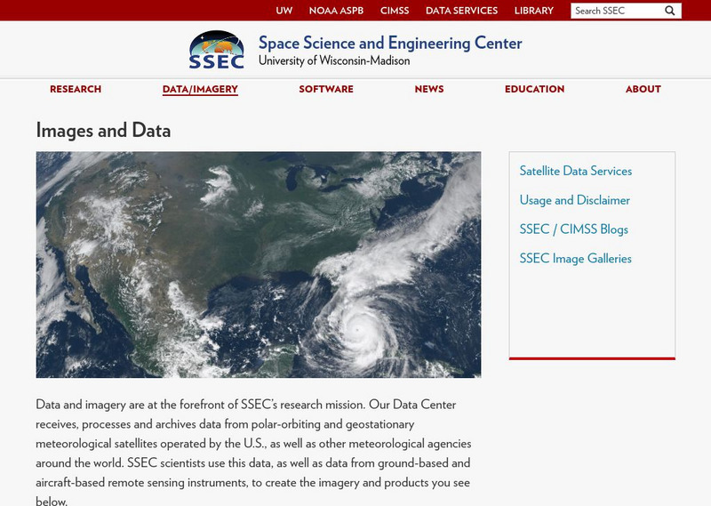
Ssec: Real Time Imagery and Data: Satellite Images of the Earth
Check out real-time satellite photos of the earth to study weather patterns.
Other
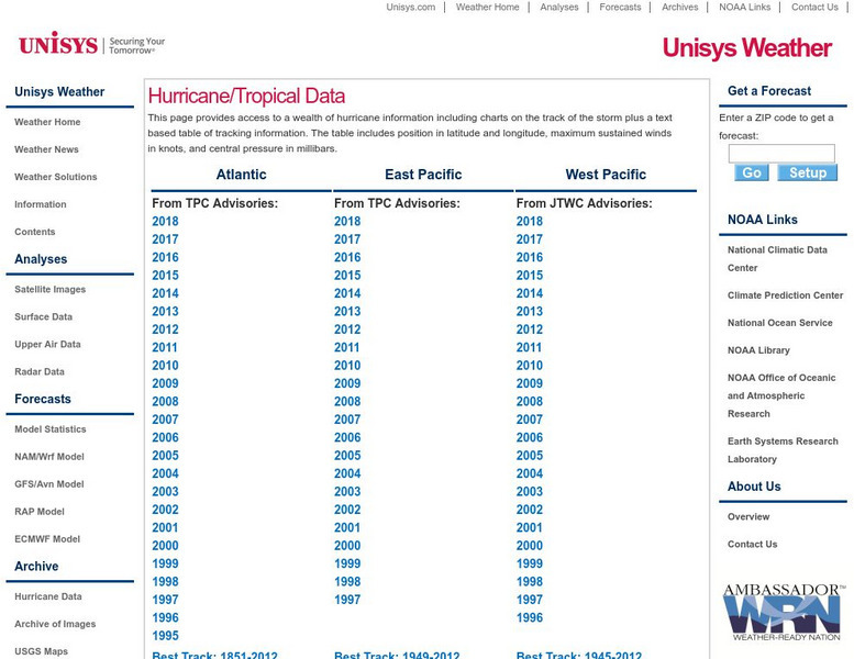
Unisys: Hurricanes/tropical Data
There is a table that has links to hurricanes in the Atlantic from 1995, East Pacific from 1997, West Pacific from 1996, South Pacific from 2000, and South India from 2000. This page has a satellite map and the Saffir-Simpson Scale.
Other
Smis: Daily Satellite Photo: European Russia, Western Siberia, North East Europe
This site offers weather maps for three areas: European Russia, Western Siberia, and Northeast Europe. The maps show very current weather conditions for each area.
University Corporation for Atmospheric Research
Ucar: Remote Sensing
Discusses the importance of radar and satellite sensing in weather forecasting. Well illustrated with useful animations showing how radar and satellite sensing works.
NOAA
Noaa: Photo Library: National Severe Storms Laboratory
This National Severe Storms Laboratory Photo Album features amazing photographs of tornadoes, instruments, sky scenes, lightning, and hail.
Curated OER
Jason 1 Satellite
This site from the National Aeronautics and Space Administration provides a fun project on El Nino. "You have probably heard people blame "El Nino" for everything from bad weather to lost homework. Now we are going to "blame El Nino" for...
Curated OER
Topex/poseidon Satellite
This site from the National Aeronautics and Space Administration provides a fun project on El Nino. "You have probably heard people blame "El Nino" for everything from bad weather to lost homework. Now we are going to "blame El Nino" for...


