National Weather Service
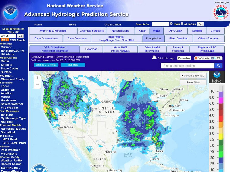
National Weather Service:climate Prediction Center: Daily Precipitation Analysis
Find real-time daily precipitation analysis for the United States, Mexico, and South America as well as accumulated precipitation maps for the past 30 or 90 days.
NASA
Nasa: Precipitation Towers: Modeling Weather Data
This lesson uses stacking cubes as a way to graph precipitation data, comparing the precipitation averages and seasonal patterns for several locations. Variations on the lesson can accommodate various ages and ability levels. Students...
E-learning for Kids
E Learning for Kids: Science: Titanic Shipwreck: How Can We Predict the Weather?
Join Tim on the Titanic Shipwreck to understand about weather predictions. Learn about weather forecasts and different instruments that help determine what the weather will be. Win stars for every correct answer and earn a certificate at...
The Washington Post
Washington Post: Mapping America's Wicked Weather and Deadly Disasters
Features data collection for natural disasters and maps the trends giving us an idea of where disasters have a tendency to strike.
TeachEngineering
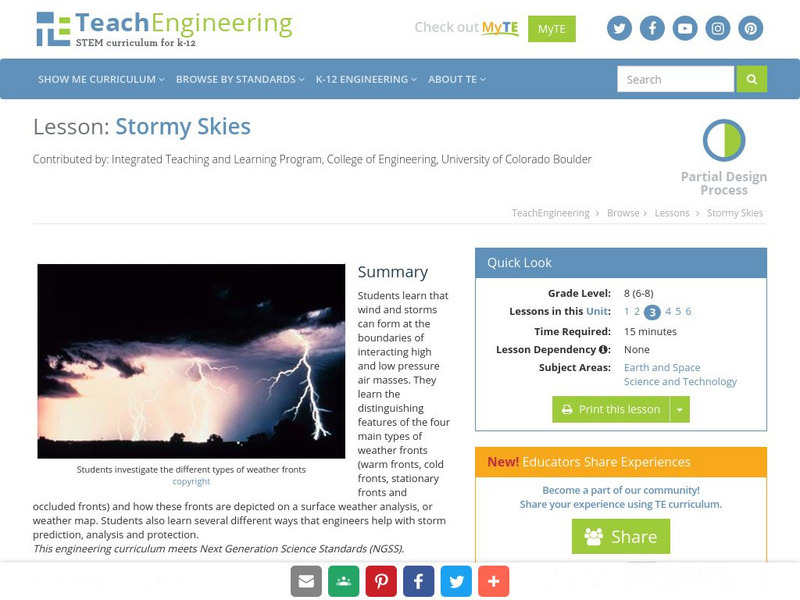
Teach Engineering: Stormy Skies
Students learn that wind and storms can form at the boundaries of interacting high and low pressure air masses. They learn the distinguishing features of the four main types of weather fronts (warm fronts, cold fronts, stationary fronts...
PBS
Pbs Learning Media: A Look at Weather Factors: Interactive Lesson
Students learn about four factors that describe different types of weather -- temperature, wind, precipitation, and sunlight and clouds -- as they explore various weather conditions and find evidence that describes each type of weather...
Other
West Virginia Storm: Activity Giving a Weather Report
Forecasting the weather and delivering the forecast to the many people who turn on the nightly news is not an easy task. Now that you know some of the jobs in meteorology and know how to read a weather map, you and your team are ready to...
E-learning for Kids
E Learning for Kids: Science: Antarctica Research Center: Describe Different Weather Patterns
This module provides informational text about weather. Students will learn about precipitation and storm fronts. Students will also learn about different types of storms, including the following: hurricanes, cyclones, and typhoons.
NOAA
Noaa: Cpc: Hazards Assessment Brief
This Hazards Assessment from the Climate Prediction Center is intended to provide emergency managers, planners, forecasters and the public advance notice of potential hazards related to climate, weather and hydrological events. Check out...
Other
Nexlab: Weather Exercises and Modules
Includes a number of forecasting exercises including front and synoptic map activities dealing with front location, pressure, location, and types of precipitation. The site is currently under construction.
Scholastic
Scholastic: Analyze: Forecast the Weather
Choose a weather-related topic, view the map, then make your own weather forecast.
Other
Weather Pages: Thunderstorm Map
This site contains a map of the Average Annual Days of Thunderstorms in the US. Cities are ranked in a table according to their average annual thunderstorm. Look for your city!
Science Education Resource Center at Carleton College
Serc: Mapping the Glaciers
In this activity, students will use Minnesota Geological Survey 3-D maps of the upper Midwest to trace the outlines of where they believe glaciers may have affected North America. They will identify landforms that resulted from glacial...
Other
Canadian Tourism Commission: Maps canada.travel
This interactive map is an excellent student and teacher resource. Select Places to Go to show regions, provinces or territories and capital cities. Hover over the area to get links to more detailed information. Get up to the minute...
Other
Athropolis: Map of the Arctic
This is a useful map for orienting students to where the Canadian Arctic lies in relation to other Arctic countries. The centre of the map is the North Pole. Clicking on the map brings up weather reports for various locations.
NOAA
Noaa: Regional Climate Maps: Mexico
This homepage provides links to precipitation and temperature maps of Mexico.
New York Times
New York Times: Crossword Puzzle: Weather
The New York Times Learning Network has developed interactive and printable crossword puzzles. The theme of this one is weather.
Smithsonian Institution
Smithsonian Education: Tomorrow's Forecast: Oceans and Weather [Pdf]
A lesson unit for Grades 4-9 on how the ocean affects climate and weather. Includes worksheets (also in Spanish) and maps.
American Geosciences Institute
American Geosciences Institute: Earth Science Week: Mapping the Atmosphere
Learners explore weather maps to study the atmosphere.
E-learning for Kids
E Learning for Kids: Antarctica: Penguins: What Are the Different Aspects of the Weather?
For this lesson, students learn about the different types of weather and the factors that impact them, including air pressure, humidity, sun and wind.
Science Buddies
Science Buddies: Dry Spells, Wet Spells: How Common Are They?
Here's a project that looks at what the weather was like for over a hundred years. The goal of the project is to compare long-term precipitation patterns in different regions of the country. You will work with historical climate data,...
TeachEngineering
Teach Engineering: How Predictable!
Students follow weather forecasts to gauge their accuracy and produce a weather report for the class. They develop skills of observation, recording and reporting.
Wikimedia
Wikipedia: Weather Front
This Wikipedia site tells all about weather fronts, or boundaries between two air masses with differing characteristics. Includes many hyperlinked terms to additional information on related subjects.
NOAA
Noaa: Ocean Explorer: Aerial Photography & Mapping Lesson Plan: Images of Katrina
This activity from NOAA Ocean Service is about using aerial photographs to assess the impact of extreme weather events such as Hurricane Katrina. The activity features aerial views of Biloxi, MS post-Katrina and enables students to see...
Other popular searches
- Reading Weather Maps
- Interpreting Weather Maps
- Interpret Weather Maps
- Surface Weather Maps
- Creating Weather Maps
- Weather Maps With Fronts
- Pressure and Weather Maps
- Analyzing Weather Maps
- Construct Weather Maps
- Winds and Weather Maps
- Interactive Weather Maps
- Just Interpret Weather Maps
