Other
Radley College Geography Department: Latest Weather
Many weather maps including world satellite images, jet streams, tropical storm trackers, temperatures and many more.
Other
Honolulu Hi 5: Cool Maps With Awesome Weather Data Across 1,219 Us Cities
Explore the weather in states and cities across the United States. Two maps with accompanying graphs are provided. The first indicates the number of comfortably warm summer days a place has and the second shows the temperature and how...
TeachEngineering
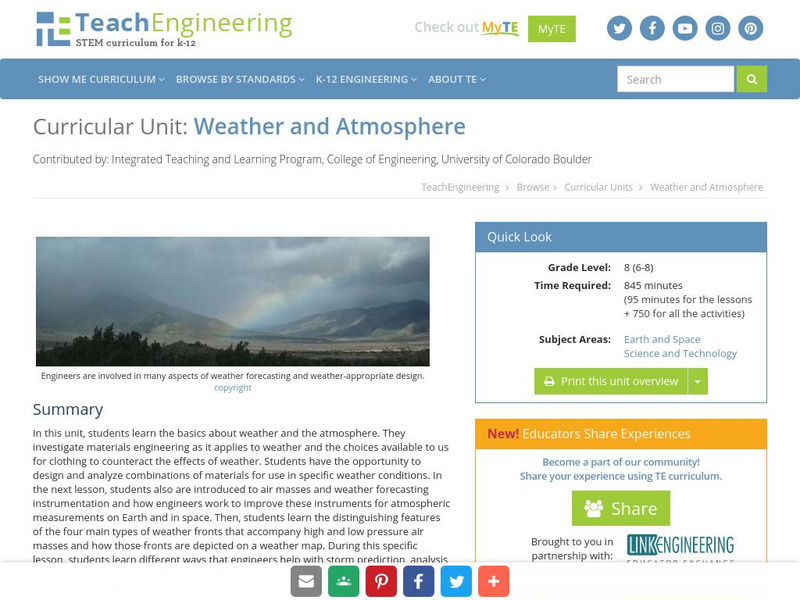
Teach Engineering: Weather and Atmosphere
In this unit, students learn the basics about weather and the atmosphere. They investigate materials engineering as it applies to weather and the choices available to us for clothing to counteract the effects of weather. Students have...
BBC
Bbc: Weather: Search
Find information about current weather conditions anywhere in the world by entering the city and country. The site breaks down the information into specific areas and regions, which makes it convenient to search through.
Science Struck
Science Struck: A List of All Weather Symbols and Their Meanings
Provides a comprehensive list of weather symbols used on weather maps.
CK-12 Foundation
Ck 12: Third Grade Science: Earth Science: Weather Forecasting
[Free Registration/Login may be required to access all resource tools.] Read about how meteorologists predict the weather and how technology and computers are used to forecast the weather. Also discusses what weather maps show us.
Other
American Meteorological Society: Data Streme Atmosphere
This site provides an extensive amount of weather information. Includes current information, forecasting, and historic weather related events. Weather map symbols and terminology explained.
Other
California Regional Weather Server: Jet Stream Analyses and Forecasts
California Regional Weather Service provides the latest jet stream analyses and forecasts for the Northern Hemisphere, Eastern Pacific & Western North America, North America, North Atlantic, and the Southern Hemisphere.
Science Buddies
Science Buddies: Using Weather Balloon Data to Map Atmospheric Temperature
Snow-capped mountains make a picturesque scene, especially in summertime when the peaks are in such contrast to the warmth below. This project shows you a way to see how temperature changes with altitude using data collected twice daily...
E-learning for Kids
E Learning for Kids: Science: Christmas Island: How Do We Describe the Weather?
Join Tim on Christmas Island to understand how to gauge weather conditions. Learn all about tracking weather, finding clothing suitable for various weather conditions, which animal likes a certain type of weather, and activities for...
E-learning for Kids
E Learning for Kids: Science: South Africa: What Is the Weather Like Today?
Join Tim and Johnny on their voyage to South Africa, but before they get there they need to make sure they understand the weather conditions. This interactive module helps you describe the weather, learn about basic forecasting and how...
Other
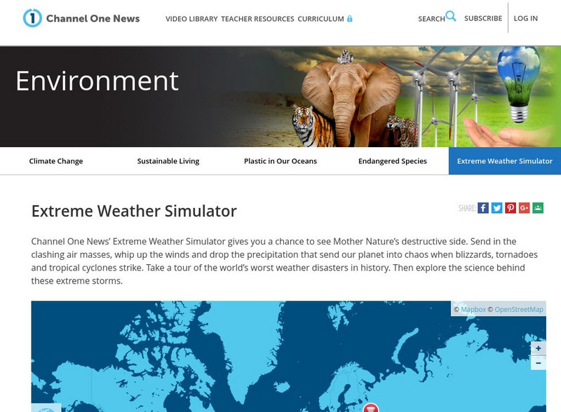
Channel One: Environment: Extreme Weather Simulator
An interactive to help understand and appreciate the strength of severe weather storms.
University of Texas at Austin
University of Texas: Hurricane Rita Maps
Web page with a large quantity of links to information on Hurricane Rita including maps, aerial images, satellite images, data, and much more.
ClassFlow
Class Flow: Weather Maps
[Free Registration/Login Required] This flipchart defines and gives examples of various weather symbols and descriptive words concerning weather patterns. It explains the uses of weather maps and how scientists use these to predict the...
PBS
Pbs Learning Media: Daily and Seasonal Weather: Interactive Lesson
Students investigate the relationship between daily weather and seasonal weather. Students will read about how weather data is collected, then interpret examples of weekly and monthly weather data to find seasonal patterns. Visual...
National Weather Service
National Weather Service: Jetsream: Synoptic Meteorology
The National Weather Service presents this site on synoptic meteorology, large-scale weather systems. Learn about the structure and behavior of the atmosphere, including clouds, precipitation, winds and more. Also includes learning...
Other
Digital Library for Earth System Education: Teaching Box: Essentials of Weather
A suite of lessons focusing on the basic elements of climate and weather. Inquiry-based exploration of extreme weather events and the factors of weather including clouds, wind, air pressure, temperature, and the water cycle.
Other
Classzone: Weather Forecasters Use Advanced Technologies [Pdf]
An excerpt from an earth science textbook. The chapter shown here covers concepts about how weather data is collected, displayed and how meteorologists forecast fronts and storms.
Center for Innovation in Engineering and Science Education, Stevens Institute of Technology
Ciese Real Time Data Projects: Weather Scope: A Study of Weather and Climate
Use real-time data to study factors that affect weather and climate, create weather instruments, and share data with students around the world.
Dan Satterfield
Dan's Wild Wild Weather Page: Radar
An explanation of what radar is and how Doppler radar has come to be used in weather detection. The operation of Doppler radar is illustrated and discussed in an easy-to-understand language.
NOAA
Noaa: Cpc: Regional Climate Maps
Provides large colorful maps of climate data about each continent for the current week, month, or previous quarter.
Annenberg Foundation
Annenberg Learner: Journey North: Weather and Songbird Migration
Ornithologist Dr. David Aborn shares the secrets of weather and migration. Learn to read weather maps and predict when you will see songbirds traveling through your locale.
Other
Accu weather.com: Precipitation Maps
A comprehensive site of precipitation maps for the entire U.S., regions of the U.S., individual states, and areas around the world. Includes maps showing predicted precipitation, actual precipitation, and accumulated precipitation. It...
Other
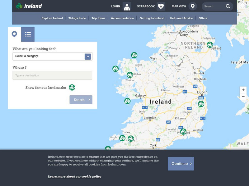
Ireland: Explore by Map
An interactive map of Ireland, with the ability to zoom-in or zoom-out, plus detailed maps of regions and cities. A link to the current weather in Ireland is also available.
Other popular searches
- Reading Weather Maps
- Interpreting Weather Maps
- Interpret Weather Maps
- Surface Weather Maps
- Creating Weather Maps
- Weather Maps With Fronts
- Pressure and Weather Maps
- Analyzing Weather Maps
- Construct Weather Maps
- Winds and Weather Maps
- Interactive Weather Maps
- Just Interpret Weather Maps


