Discovery Education
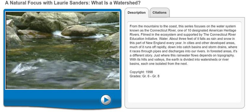
Discovery Education: Homework Helper: What Is a Watershed?
This video describes what watersheds are and where they are located. View several different watersheds and learn how their flow is affected by the topography around them. [7:11]
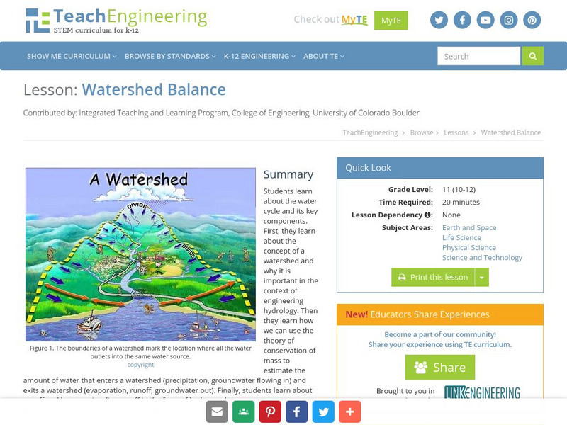
TeachEngineering
Teach Engineering: Watershed Balance
This lesson teaches the concept of a watershed and why it is important in the context of engineering hydrology. Students learn about runoff and how we visualize runoff in the form of hydrographs.
US Environmental Protection Agency
Epa: Surf Your Watershed
This resource provides information on watersheds, maps, activities, and links to local watershed information.
Smithsonian Institution
Smithsonian Environmental Research Center: It's All in the Watershed
Learn about your ecological home on this site. The nation shares the Chesapeake Bay watershed, our ecological home. Most stories on this site focus on separate plants and animals, but together, these stories literally show a web of life.
Texas Education Agency
Texas Gateway: Human Activity in Watersheds
Given scenarios, descriptions, maps and illustrations, students will be able to model the effects of human activity on groundwater and surface water in a watershed.
Other
Watershed Atlas: What's a Watershed?
A comprehensive definition and illustrations of what watersheds are and why they are important. Understand how watersheds form and the habitats produced by them.
Other
Cwec: Down the Hill . . . Your Watershed (Mini Unit) [Pdf]
Everyone is part of a local watershed and their actions affect the water resources in their watershed. In this mini-unit, young scholars learn about watersheds, why they are important, dangers they face and how watersheds can be protected.
US Geological Survey
Lake Pontchartrain Basin Foundation: Watershed
Explore the characteristics of a watershed through these multiple intelligences learning activities. Activities will help students define a watershed as well as read the features on a topographic map. Site also includes background...
Science Education Resource Center at Carleton College
Serc: Minnesota Watersheds
In this lesson, students will understand that water flows down a slope and determines how watersheds flow. They will also learn that water flows in three basic directions and that each watershed is divided by the area's higher elevations...
Other
Center for Watershed Protection
Explore this non-profit organizations site for watershed information.
Science Education Resource Center at Carleton College
Serc: Lab 2: What's a Watershed?
Students build a physical model to simulate watershed features, then use Google Earth software to tie the model to a real place. By exploring several layers of map-based images and data, students learn the complexity of a watershed and...
Science Education Resource Center at Carleton College
Serc: Investigating How Terrain and Watersheds Are Connected
In this lab, students will investigate the topography of a watershed and determine how it may affect physical stream parameters focusing on how terrain and water systems are connected.
US Environmental Protection Agency
Epa: Estuaries and Coastal Watersheds
Extensive information about water, estuaries and coastal watersheds.
Science Education Resource Center at Carleton College
Serc: Mn Step: Watersheds Urban and Rural
In this activity young scholars build models of two types of watersheds, one urban and one rural. They will then simulate rain or the water cycle and observe what happens to the 'soil.' This activity leads to discussions about the water...
Other
Anacostia Watershed Society
Explains what a watershed is and the importance of protecting and preserving the Anacostia River watershed in Maryland.
Science Education Resource Center at Carleton College
Serc: Mn Step: Watershed: Exploring Run Off and Infiltration in the Classroom
A simple experiment that demonstrates how water is absorbed into soil and filtered through it, showing how water changes things in the environment. After a class demonstration, they will themselves investigate the effects of water...
Science Education Resource Center at Carleton College
Serc: Nitrate Levels in the Rock Creek Park Watershed: Meas of Central Tendency
Activity uses water-quality data from Rock Creek Park to illustrate elementary statistical measures of exploratory data analysis. The focus of the lesson is the nutrient limitation in a stream and the three measures of central tendency.
Science Education Resource Center at Carleton College
Serc: Nitrate Levels in the Rock Creek Park Watershed: Variability
Learning module focuses on measures of variability such as range, variance, and standard deviation which are used to examine nitrate levels and water quality.
Science Education Resource Center at Carleton College
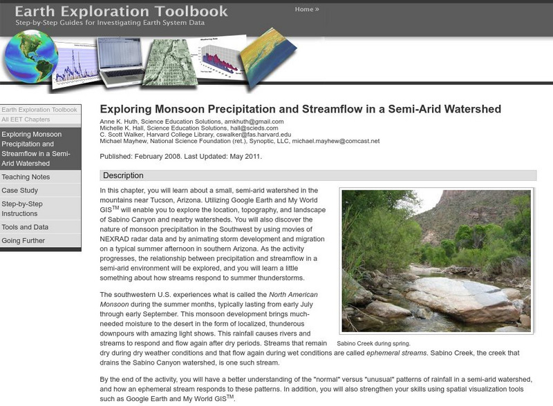
Serc: Exploring Monsoon Precipitation and Streamflow in a Semi Arid Watershed
Students use both My World GISTM and Google Earth maps to investigate streamflow and precipitation relationships in the vicinity of Tucson, AZ.
National Geographic
National Geographic: Programs: Chesapeake Bay Water Quality Project
A project-based collaborative unit of study that teaches students about watershed health using real-time geospatial technology. Students engage in outdoor field experiences while using twenty-first century learning skills.
Science Education Resource Center at Carleton College
Serc: Exploring the Environment: Water Quality
A project based scenario where students research problems and come up with answers to a local water board's concerns over water quality in the watershed. Background information is accessible for the following topics: importance of water,...
Curated OER
Etc: Maps Etc: Climate and Watersheds of the United States, 1868
A map from 1868 of the United States showing physical features, mean annual temperatures, rainfall distribution, watersheds, and principal products in the area. The average annual temperatures are shown by isotherms, with temperatures...
Curated OER
Wikipedia: National Historic Landmarks in Pennsylvania: Honey Hollow Watershed
An image of the Honey Hollow Watershed.
Other
Alberta Riparian Habitat Mgt Society: Riparian Areas: A User's Guide [Pdf]
The authors of this guide explain through pictures and clearly written text, what riparian areas are, why they are so important for an ecosystem's health, how to assess their health, and how to improve and preserve them.
Other popular searches
- Mississippi River Watershed
- Chesapeake Bay Watershed
- Watershed Hydrology
- Watershed and Water Quality
- Watersheds and Wetlands
- Watershed and Drinking Water
- Great Lakes Watershed
- Apalichicola River Watershed
- Delineate a Watershed
- Watershed Management
- Virginia Watersheds
- Pennsylvania Watersheds
