Hi, what do you want to do?
Science Buddies
Science Buddies: Dust Busters: How No Plow Farmers Try to Save Our Soil
In this environmental science fair project, students will build models of fields prepared by plow-based and no-till methods, and see which ones are best at retaining soil moisture and preventing surface runoff.
US Geological Survey
USGS: Urbanization and Water Quality
This website focuses on water quality issues in relation to urbanization. There are helpful links to brief articles on topics like storm runoff, wastewater, and the underground water table. Click "Water Science School HOME" to access the...
PBS
Pbs Teachers:canyonlands: The Power of Water
Determine how the amount and rate of water flow affect the amount of erosion.
Georgia Department of Education
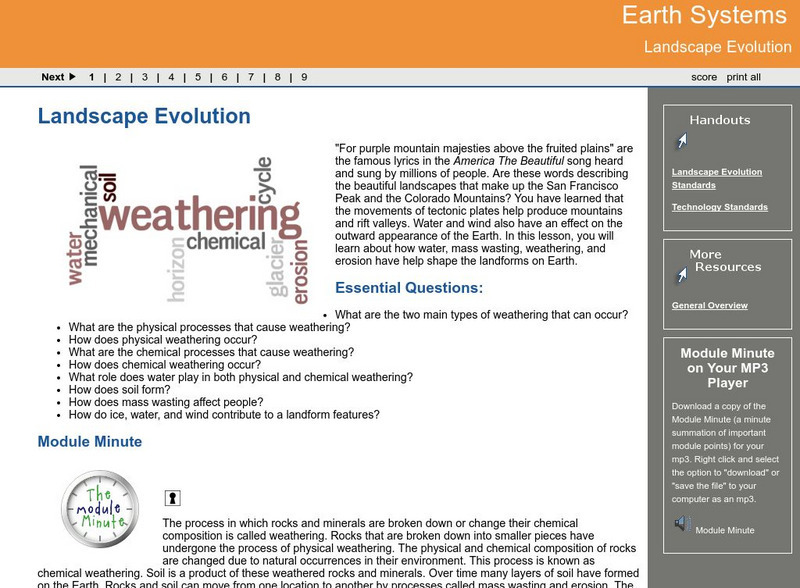
Ga Virtual Learning: Landscape Evolution
In this amazing online tutorial you will learn about how water, mass wasting, weathering, and erosion have help shape the landforms on Earth. The lesson includes many helpful interactive materials to prepare help you understand landscape...
National Association of Geoscience Teachers
Nagt: Variable Rivers
In this lesson young scholars will be introduced to rivers and river processes. They will test an isolated variable in rivers and they will test either the amount of water, velocity of water, or steepness of the river bed to determine...
US Geological Survey
Usgs Earth's Water: Rivers and the Landscape
Describes the formation of rivers and the transport of soil and sediment. Links to related material is provided within the text.
Other
Tulane University: Physical Geology: Glaciers and Glaciation
Lots of information here about glaciation, types of glaciers, the formation of glacial ice, changes in glacier size, how glaciers move, glacial erosion, landforms produced by glaciers, glacial deposition and drift, effects of glaciation...
Columbia University
Nasa: Sedac: Marine and Coastal Regions and Sea Level Rise
[Free Registration/Login Required] A collection of fifteen data sets from SEDAC (Socioeconomic Data and Applications Center) that examine the impact rising sea levels is having on marine and coastal regions. They look at mangrove...
American Geosciences Institute
American Geosciences Institute: Soils
Seven hands-on lessons module allows students to learn about soils. These inquiry-based investigations explore the kinds and arrangements of materials in soils, the amount of water that flows through soil, and how soil is eroded.
Cosmo Learning
Cosmo Learning: Fundamentals of Environmental Pollution and Control
A collection of video lectures from a fundamentals of environmental pollution and control course taught at the National Programme on Technology Enhanced Learning. The course teaches water pollutants, waste water treatment, soil acidity,...
ClassFlow
Class Flow: Rivers 2
[Free Registration/Login Required] In this lesson students evaluate the water cycle and how rivers erode, transport, and deposit materials to produce physical features. Many slides and aerial photos of flooding and riverbanks are...
Science Struck
Science Struck: Understanding Deposition in Geology
Explains what is meant by the deposition of sediments by wind and water and provides examples of the resulting landforms.
National Association of Geoscience Teachers
Nagt: Variable Rivers
For this activity students will test amount of water, velocity and steepness of a tabletop riverbed to see how it affects a river's depth, width, and delta size.
University of Wisconsin
Geography 101: Soil Characteristics
By the end of this unit you should be able to: list the seven characteristics used to describe soils, to distinguish one soil from another soil, and to distinguish one soil layer from another soil layer; explain the impact of soil...
American Geosciences Institute
American Geosciences Institute: Earth Science Week: What's Down There?
Students build a model to learn about the cycle of erosion and deposition by water and wind which deposits layer upon layer of rock, soil, and organic material to the surface.
Missouri Botanical Garden
Missouri Botanical Garden: Rivers and Streams
The Evergreen Project profiles the natural history of rivers and streams. Topics include watersheds, how a stream becomes a river, erosion, water pollution, and the like.
Other
Alberta Riparian Habitat Management: Protecting Shorelines & Streambanks [Pdf]
Protecting Shorelines & Streambanks - Naturally explains the critical importance of healthy shorelines for preventing soil erosion and filtering out pollutants. It looks specifically at riparian areas, such as those in Alberta, which...
American Geosciences Institute
American Geosciences Institute: Earth Science Week: Geologic Maps and Groundwater
This activity is designed to give students practice using a geologic map to understand how water shapes the land- and is stored within the land- in part of the Grand Canyon.
PBS
Nh Pbs: Nature Works: Rivers and Streams
Learn more about Rivers and Streams through this educational resource. This site features photographs, a description, fun facts, and more about this type of freshwater ecosystem.
Science Education Resource Center at Carleton College
Serc: Investigating Stream Char and Discharge: Interdisciplinary Approach
In this Interdisciplinary Field Investigation students will combine science, math, geography, creative writing and art. The setting will be a local stream (site yet to be determined, Minnehaha or Vermillion) where 150 students will...
National Institute of Educational Technologies and Teacher Training (Spain)
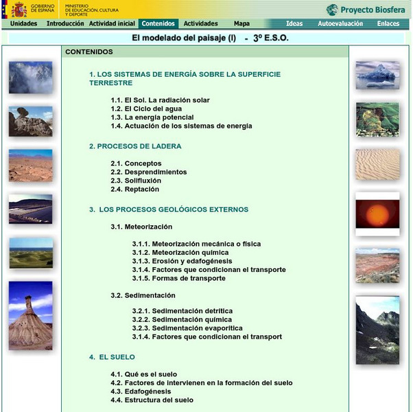
Ministerio De Educacion: El Modelado Del Paisaje I
This unit will discuss how the external geological agents cause the arrangement of the landscape that can be found throughout the earth. It contains 18 interactive activities.
Science Education Resource Center at Carleton College
Serc: Mn Step: Watersheds Urban and Rural
In this activity students build models of two types of watersheds, one urban and one rural. They will then simulate rain or the water cycle and observe what happens to the 'soil.' This activity leads to discussions about the water cycle,...
Other
Rensselaer Polytechnic Institute: Leaching
An informative site describing the process of leaching, including links to diagrams which illustrate the process. The health risks posed by leaching are touched upon.
National Geographic
National Geographic: Human Impacts on the Environment
Humans impact the physical environment in many ways: overpopulation, pollution, burning fossil fuels, and deforestation. Changes like these have triggered climate change, soil erosion, poor air quality, and undrinkable water. These...
Other popular searches
- Water Erosion and Deposition
- Water Erosion Earth Changes
- Wind and Water Erosion
- Water Erosion Lab
- Water Erosion Centers
- Solutions to Water Erosion
- Water Erosion Experiment
- Water Erosion Worksheets
- Model Water Erosion
- Surface Water Erosion
- Water Table Erosion Sand
- Water Erosion Investigation


