Curated OER
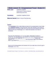
Congressional Travel
Students determine the distances traveled by the members of the legislative branch of the US Government. In this travel distance lesson plan, students locate Washington, DC on a globe using the longitude and latitude of the city. They...
Curated OER
From Hypothesis to Conclusion...Reading Maps to Understand Proofs
Tenth graders explore the concept of proof. In this proof instructional activity, 10th graders work in groups to collectively write proofs for directions to places on a map. Students give directions to specific places in big cities such...
Curated OER
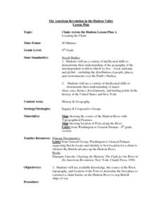
Chain Across the Hudson Lesson Plan A - Locating the Chain
Learners read a letter from George Washington requesting them to identify on a map a location that would stop the advance of British warships. They choose a location and justify their choice.
Curated OER
Foliage Tracker
Young scholars discuss the change of leaf colors and the role that climate and elevation play in those changes. They then track leaf changes, input data, and graph foliage changes with a free online tool.


