NASA
Nasa Earth Observatory: Natural Hazards: Volcanoes and Earthquakes
NASA's Earth Observatory offers photos showing locations of volcanic activity and earthquakes. Click on thumbnails to view large images and read about the causes and effects of these natural hazards.
Other
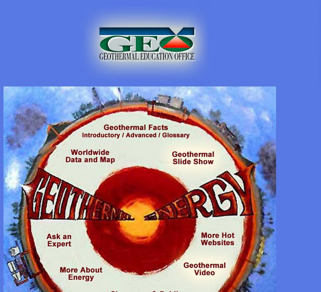
Geothermal Education Office
This resource for geothermal energy education features a slide show with instructive graphics.
The Washington Post
Washington Post: Mapping America's Wicked Weather and Deadly Disasters
Features data collection for natural disasters and maps the trends giving us an idea of where disasters have a tendency to strike.
Curated OER
Etc: Maps Etc: Physical Map of South America, 1898
A map from 1898 of South America showing the general physical features including mountain systems, prominent peaks and volcanoes, river and lake systems, plateaus, and coastal features. The map includes an insert of the Isthmus of...
Curated OER
Etc: Maps Etc: Mexico, Central America, and the West Indies, 1898
A map from 1898 of Mexico, Central America and the West Indies. The map includes an inset map of Cuba and the Isthmus of Nicaragua. "The surface of the Rocky Mountain highland in Mexico is quite similar to that of the great plateau...


