Hi, what do you want to do?
PBS
Pbs Mathline: Blazing the Trail Lesson Plan [Pdf]
Using a scale, determine the distance between landmarks on a map. Printable lesson.
TeachEngineering
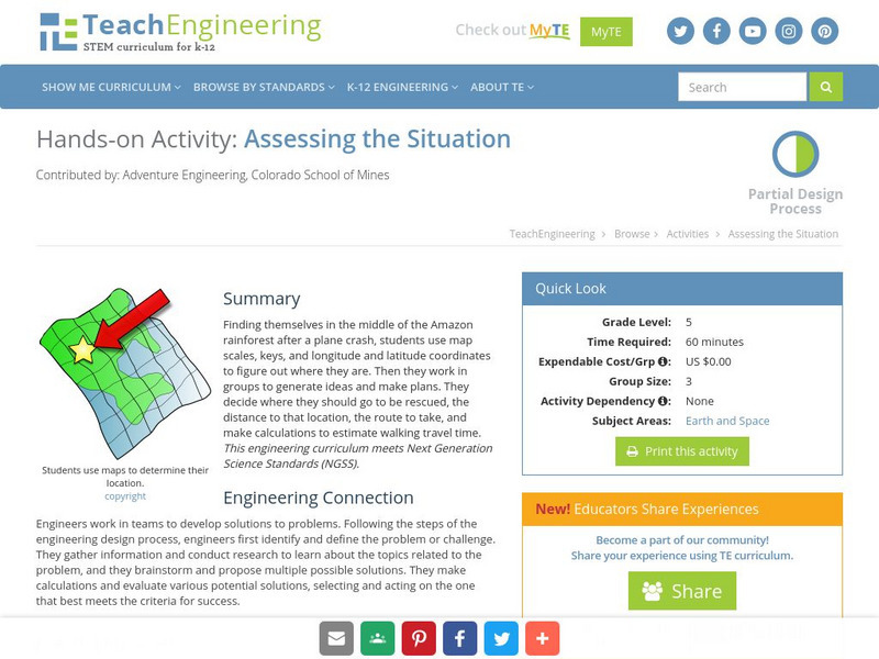
Teach Engineering: Assessing the Situation
In this activity, students will use the scale, the key, and longitude and latitude on a map to determine where they have crashed. They will then use the map scale to determine the distance to the nearest city and how long it will take...
E-learning for Kids
E Learning for Kids: Math: Elephant Plant: Data and Graphs
On this interactive website students practice various math skills using a real-life scenario involving plants. Those skills include interpreting data in a circle graph, interpreting data in a divided bar graph, and interpreting a bar...
TeachEngineering
Teach Engineering: Possible Locations
Students use their knowledge of scales and areas to determine the best locations in Alabraska for the underground caverns. They cut out rectangular paper pieces to represent caverns to scale with the maps and place the cut-outs on the...
TeachEngineering
Teach Engineering: Hurricane! Saving Lives With Reasoning & Computer Science
Students develop and apply the distance formula and an x-y coordinate plane on a hurricane tracking map, and then use a map scale to determine distance in miles. Then, using MATLAB computer science programming language, students help...
Alabama Learning Exchange
Alex: Land Surveying Project
This project resulted from of the collaboration of a computer aided drafting teacher, Chris Bond, and a math teacher, Lee Cable, (Hewitt-Trussville High School) to provide higher math expectations in CT and real life application in...


![Pbs Mathline: Blazing the Trail Lesson Plan [Pdf] Lesson Plan Pbs Mathline: Blazing the Trail Lesson Plan [Pdf] Lesson Plan](https://content.lessonplanet.com/knovation/original/114252-32f99d9ad7a7f3ab46350ac7210f4a68.jpg?1661771099)


