Hi, what do you want to do?
Curated OER
Etc: Maps Etc: Territories of the United States, 1900
A map from 1909 showing territories added to the United States: Alaska (1867), Hawaii by annexation (1898), and Puerto Rico and the Philippines after the Spanish-American War (1898).
Curated OER
Etc: Maps Etc: The Territory of the United States, After April 30, 1803
A map of the United States in 1803 showing the extent of the territory after the Louisiana Purchase from France. The map is color-coded to show the possessions of the United States, Great Britain, and Spain at the time, and shows the...
Curated OER
Etc: Maps Etc: The Territory of the United States, After February 19, 1821
A map of the United States in 1821 showing the extent of the territory after taking control of Florida from Spain. The map is color-coded to show the possessions of the United States, Great Britain, and Spain at the time, and shows the...
Curated OER
Etc: The Territory of the United States, 1846 1848
A map showing the territory of the United States after the annexation of Texas in 1845, and the acquisition of the Oregon Country by treaty with Great Britain in 1846. The map is color-coded to show the possessions of the United States,...
Curated OER
Etc: Maps Etc: The Territory of the United States, After February 1, 1801
A map of the United States in 1801 showing the extent of the territory at the time of the presidency of Thomas Jefferson. The map is color-coded to show the possessions of the United States, Great Britain, Spain, and France at the time,...
Curated OER
Etc: Acquisition of Territory by the United States, 1783 1917
A map from 1922 of the United States showing the acquisition of territory from 1783 to the purchase of the Dutch West Indies (Virgin Islands) in 1917. This map is color-coded to show each of the acquisitions with map notations giving...
Curated OER
Etc: Territorial Growth of the Us 1783 to 1867, 1783 1867
The United States, showing the growth of territory from 1783 to 1867.
Curated OER
Etc: Maps Etc: Territory Held by the Confederates at the Close of 1861, 1861
A map of the United States showing the territory held by the Confederacy at the close of 1861.
Library of Congress
Loc: Learning Page: Government Policy for Native Americans
Text and historically significant documents pertaining to the young US government's policies toward Native Americans.
US Geological Survey
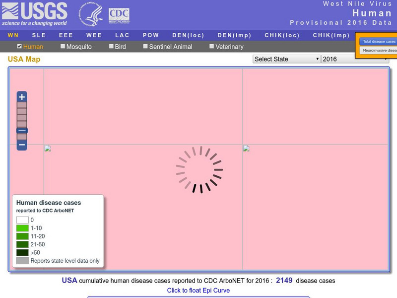
U.s. Geological Survey: Education: Disease Maps
Disease maps that trace the incidence of West Nile virus, encephalitis and dengue fever across the United States and its territories demonstrate one of the many uses of geography.
Other
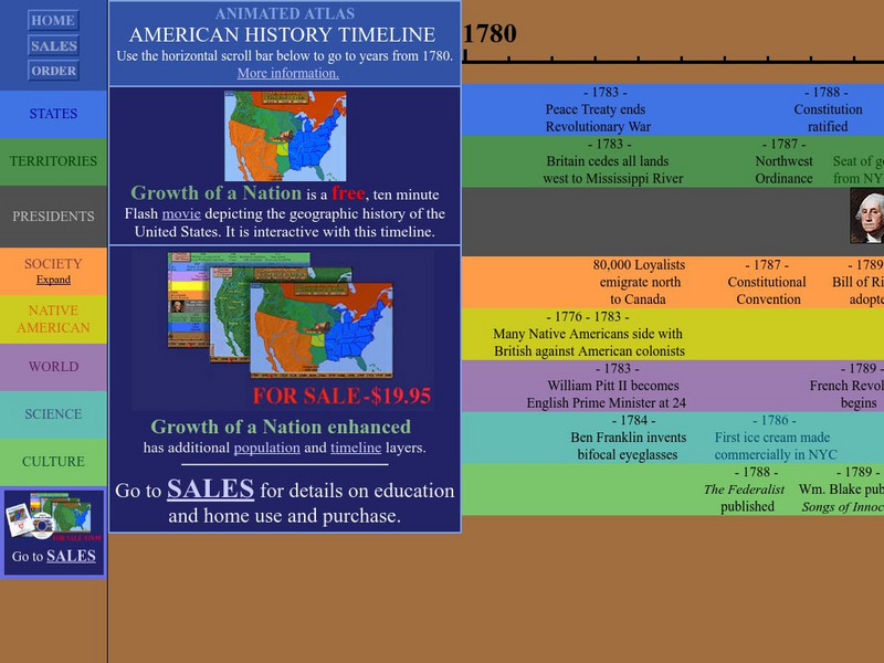
Animated Atlas: American History Timeline: 1780 2010
Animated timeline with layers showing states, territories, presidents, society, Native American tribes, world and scientific events, and cultural achievements in the United States from 1780-2010.
The History Cat
The History Cat: Us History: Louisiana Purchase
Covers two topics related to the growth of the new United States - the Louisiana Purchase and the settling of the Great Plains. How the Louisiana Purchase came about as a result of a decision by Napoleon is explained. The Great Plains...
World InfoZone
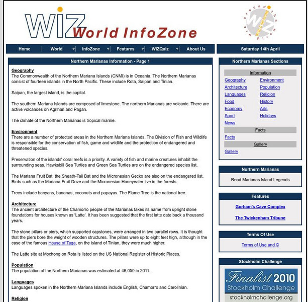
World Info Zone: Northern Marianas
Great resource that is full of useful information about the Northern Mariana Islands in Oceania. Content includes geography, environment, architecture, religion, food, history, economy, arts, sports, and news. Be sure to look at the fact...
Nations Online Project
Nations Online: American Samoa
Offers a country profile and travel guide to American Samoa, background overview, and numerous links to comprehensive information on the nation's culture, history, geography, economy, environment, tourism, population, news, government,...
Oklahoma State University
Oklahoma State University: Treaty With the Delawares, 1804
This site from the Oklahoma State University provides the text of the treaty made between the US government and the Delawares. This treaty was a response to the conditions made in the 1803 Treaty of Fort Wayne.
University of Washington
Northwest Imagery: The Photography of Edward and Asahel Curtis
Edward and Asahel Curtis provide wonderful insight into Washington State in the late 1800's and early 1900's. Edward provides us his perceived traditions of North American Indians and Asahel photographed Washington's natural resources...
Curated OER
Etc: The Territory of the Present Us During the French Indian Wars, 1755 1763
A map of North America showing the foreign possessions in the area of the present United States during the French and Indian Wars (1755-1763) between the French and English. This map is color-coded to show territorial claims at the time...
University of Oregon
Mapping History: American History
Interactive and animated maps and timelines of historical events and time periods in American history from pre-European times until post-World War II.
Curated OER
Etc: The Territory of the Us Before and After the Louisiana Purchase, 1783 1803
A map of the United States showing the extent of the country prior to, and after the Louisiana Purchase from France in 1803.
Independence Hall Association
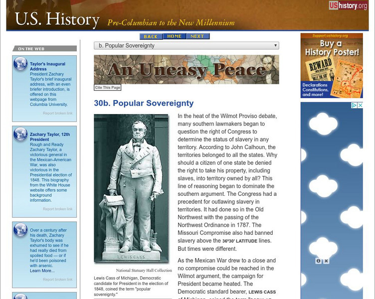
U.s. History: Popular Sovereignty
Read about the concept of popular sovereignty in relation to issue of expansion of slavery in the territories. It was not as simple as it seemed. Find out about how the issue of slavery was addressed in the election of 1848. Included is...
University of Oregon
Mapping History Project: Missouri Compromise: 1820
Interactive map showing free states and territories and slave states and territories before and after the Missouri Compromise of 1820. Click on the map to choose before or after and the key. Shockwave required.
Independence Hall Association
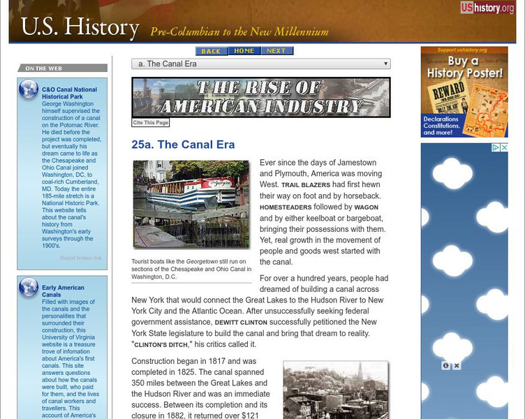
U.s. History: The Canal Era
See how the building of canals in New York, Pennsylvania, and Ohio not only opened up the west by making travelling easier and joining western territories to northern states, but also transformed cities from small burgs to major...
Independence Hall Association
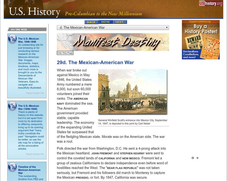
U.s. History: The Mexican American War
The Mexican-American War fulfilled James Polk's desire to acquire the territory of New Mexico and California from Mexico. See how the fight was provoked, and read about Stephen Kearny's actions in New Mexico and John Fremont's in...
Independence Hall Association
U.s. History: Reactions to a Troubled World
Read about the rising militarism and fascism in Europe and Asia as dictators expanded their territories. See how the United States reacted with its series of three neutrality acts.


