Curated OER
Etc: Vicinity of Fortress Monroe, 1861 1865
A map of the vicinity of Fort Monroe near Hampton and Norfolk, Virginia, during the American Civil War. The map shows forts, coastline features, the site of the Battle of Great Bethel, and the waters of Hampton Roads off Sewell's Point...
Curated OER
Etc: Operations in the East, 1861 1865
A map of the Southeastern States showing American Civil War operations in the East (1861-1865). The map shows major cities and towns, rivers, terrain and coastal features, and campaign routes. An inset map details eastern Virginia.
Curated OER
Etc: Operations in the West, 1861 1865
A map of the south-central States showing American Civil War operations in the West (1861-1865). The map shows major cities and towns, rivers, terrain and coastal features, and campaign routes. Inset maps detail the vicinity of Vicksburg...
Curated OER
Etc: Kentucky and West Virginia, 1861 1865
A map of the parts of Kentucky and West Virginia, where some early battles of the American Civil War were fought. The map shows terrain features, rivers, railroads, and the cities and towns of Cincinnati, Philippi, Rich Mountain,...
Curated OER
Etc: Central Maryland and Pennsylvania, 1861 1865
A map of central Maryland and Pennsylvania during the American Civil War (1861-1865) showing major cities and towns, roads, railroads, terrain features, rivers, and several battle sites. Included on the map are Washington, Alexandria,...
Curated OER
Etc: Theatre of Southwestern Campaigns, 1861 1865
A map showing the theatre of Southwestern Campaigns in the American Civil War. The map includes the northern Gulf Coast and parts of the states of Arkansas, Louisiana, Mississippi, Alabama, and Florida, showing major cities, towns, and...
Curated OER
Educational Technology Clearinghouse: Maps Etc: The New West, 1889 1912
A map of the western United States showing the rapid growth of the New West between 1885 and 1912 during the presidencies from Benjamin Harrison to Howard Taft. The map is color-coded to show the States admitted to the Union before the...
Curated OER
Educational Technology Clearinghouse: Maps Etc: State Secessions, 1861
State boundaries, conflicts and other political facts regarding 1861 secessions.
Curated OER
Educational Technology Clearinghouse: Maps Etc: State Secessions, 1862
State boundaries, conflicts and other political facts regarding 1862 secessions.
Curated OER
Educational Technology Clearinghouse: Maps Etc: State Secessions, 1863
State boundaries, conflicts and other political facts regarding 1863 secessions.
Curated OER
Educational Technology Clearinghouse: Maps Etc: State Secessions, 1864
State boundaries, conflicts and other political facts regarding 1864 secessions.
Curated OER
Educational Technology Clearinghouse: Maps Etc: State Secessions, 1865
State boundaries, conflicts and other political facts regarding 1865 secessions.
Curated OER
Educational Technology Clearinghouse: Maps Etc: Virginia Campaigns, 1862 1865
The scenes of the Western campaigns, color-coded to differentiate between federal and confederate armies.
Curated OER
Educational Technology Clearinghouse: Maps Etc: Battle of Gettysburg, 1863
A plan of the Battle of Gettysburg showing the positions of the Union and Confederate armies, roads, and terrain features.
Curated OER
Etc: Maps Etc: Battle of Chattanooga, November 1863
The region surrounding Chattanooga, Tennessee. Site of the Battle of Chattanooga; November 23, 24, 25, 1863 shown.
Curated OER
Educational Technology Clearinghouse: Maps Etc: Campaign Against Vicksburg, 1863
The region surrounding Vicksburg, Mississippi in 1863, showing battle sites and fortifications during the Union campaign.
Curated OER
Etc: The United States Secession, 1860 1861
A map showing the secession of the Confederate States from the Union, from the secession of South Carolina (December 20, 1860) to the secession of Tennessee (June 8, 1861). The map is color-coded to show the Federal States and territory...
Curated OER
Etc: Campaign in the East, 1864 1865
A map of the parts of Georgia, South Carolina, and North Carolina showing the area of Sherman's campaign in late 1864 to early 1865. The map shows the route of Sherman's March from Atlanta to Savannah, and his northward route from...
Curated OER
Etc: Memphis to Vicksburg, 1862 1863
A map showing the area between Memphis and Vicksburg on the Mississippi River during the Vicksburg Campaign of 1863. The map shows cities and towns, railroads, rivers, and terrain features of the area.
Curated OER
Etc: Operations Around Petersburg, 1864 1865
A map of the region surrounding Petersburg, Virginia, site of the Battle of Petersburg and the Siege on Petersburg. Map shows June 1864-April 1865.
Curated OER
Etc: North Virginia Shenandoah Valley, 1862
A map of northern Virginia and the Shenandoah Valley area in 1862. The map shows the area from Harpers Ferry on the Potomac River to Staunton in the valley, the Alleghany, Kittatinny, and Blue Ridge mountains, Charlottesville, Richmond,...
Independence Hall Association
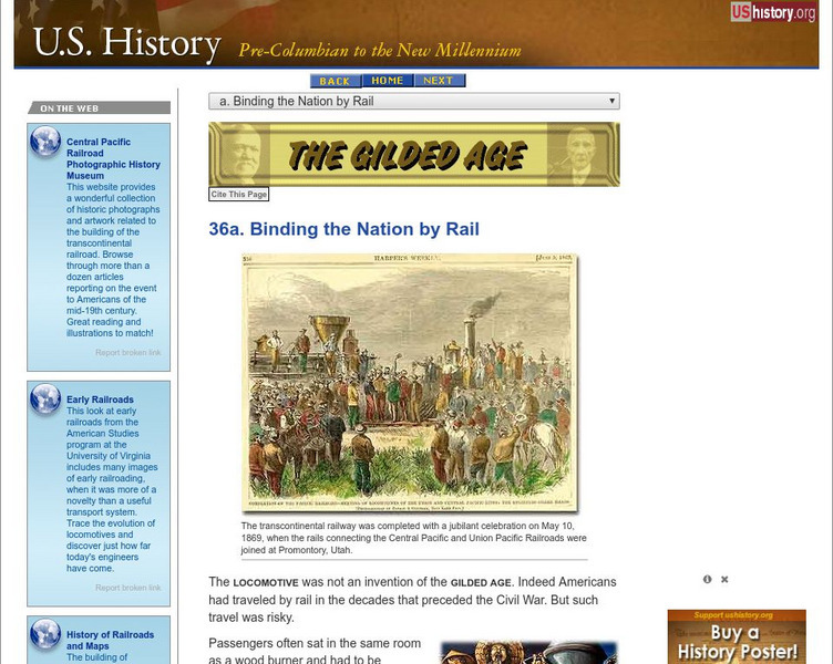
U.s. History: Binding the Nation by Rail
Read about the explosive growth of railroad track across the United States after the Civil War. Find out about the building of the Transcontinental Railroad, the men who made fortunes from the railroads, and the first American regulatory...

