Curated OER
A River Runs Through It
Pupils evaluate and interpret flood data from Central Texas. They list the tributaries that feed into the Guadalupe River and explain why is it important to include the tributaries in a discussion of the river, especially a discussion...
Curated OER
Crash Test Dummies
Fifth graders are introduced to Newton's First Law of Motion. In groups, they describe the differences between balanced and unbalanced forces. They participate in experiments that demonstrate how equal and opposite forces act upon...
Curated OER
A Brand New Day
Students locate Maine on a classroom map and discuss if Maine is where the nation's first light is found, where would the nation's last light be seen. They explore the idea of the sun rising in the east and setting in the west.
Curated OER
Views And voices From Within
Students investigate the life and artwork of Estelle Ishigo. They use a timeline and primary sources in order to understand the influence of living in a relocation camp during World War II. The lesson includes an extensive historical...
Curated OER
Plotting the Petroleum Plume
Eighth graders examine the difference between confining layers and aquifers in a basic water table aquifer scenario. They contour groundwater elevation and petroleum product thickness data.
Curated OER
Kindness Fables
Middle schoolers create a fable that is based on kindness. In this fables lesson plan, students read and discuss different fables. Then they discuss kindness, and write their own fables based on the kindness of others.
Library of Congress
Loc: America's Story: Four Standard Time Zones Introduced
How and why did the United States come to have four time zones? Learn about how cities and railroad travel impacted the development of these zones. Includes video (requires RealPlayer).
TED Talks
Ted: Ted Ed: How Did Trains Standardize Time in the United States?
This animated video explains the relationship between time zones and trains. If you live in the United States, you live in one of the standardized time zones. But these time zones have not always been around. In fact, it's a fairly...
ReadWriteThink
Read Write Think: On This Day in 1918, the u.s. Passed the u.s. Standard Time Act
A classroom activity commemorating the 1918 Standard Time Act and aiding students in learning about differing time zones. Includes lesson plans, web links and an annotated bibliography. From March 19, 2007.
Other
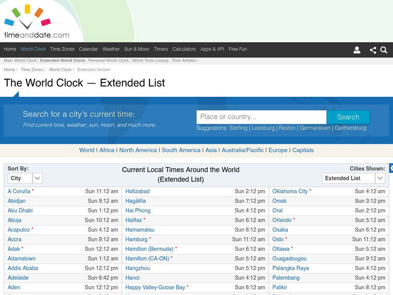
Time and date.com: The World Clock Time Zones
This website has a variety of time resources. You can find a major city and its time. If you click on that city it will give you lots of information.
Other
Time Zones for P Cs
This site from Time Zones for PCs provides a colorful, interactive maps of the United States and the world. Click on one of the starred cities to find out what time it is there.
Curated OER
Educational Technology Clearinghouse: Maps Etc: Railroads in United States, 1910
A map from 1910 of the United States showing the railway network and connecting steamship lines. This map distinguishes the transcontinental railroads and secondary lines, and shows the standardized time zones used in 1910. The clock...
Curated OER
Etc: Maps Etc: Standard Time in the United States, 1910
A map from 1910 of the United States showing the time zones as they were then established. Clock-symbols at the bottom of the map show the comparative times when it is noon in London. "Formerly every city used its own sun time, or local...
Curated OER
Etc: Maps Etc: Commercial Map of the United States, 1872
A commercial map from 1872 of the United States showing the principal railroad and steamship routes in the region at the time. The map shows state boundaries and capitals, major cities and ports, submarine telegraph cables to Europe,...
Curated OER
Educational Technology Clearinghouse: Maps Etc: Standard Time Belts, 1903
A map from 1903 of the United States showing the time zones as they were then established. "The heavy dotted line shows the arbitrary divisions of time in the United States. The plus and minus marks on either side of the meridian lines...
Curated OER
Educational Technology Clearinghouse: Maps Etc: Standard Time Belts, 1901
A map from 1901 of the United States showing the time zones as they were then established.
Curated OER
Time Zones for P Cs
This site from Time Zones for PCs provides a colorful, interactive maps of the United States and the world. Click on one of the starred cities to find out what time it is there.
Curated OER
Time Zones for P Cs
This site from Time Zones for PCs provides a colorful, interactive maps of the United States and the world. Click on one of the starred cities to find out what time it is there.
Curated OER
Time Zones for P Cs
This site from Time Zones for PCs provides a colorful, interactive maps of the United States and the world. Click on one of the starred cities to find out what time it is there.
Curated OER
Time Zones for P Cs
This site from Time Zones for PCs provides a colorful, interactive maps of the United States and the world. Click on one of the starred cities to find out what time it is there.
Curated OER
Time Zones for P Cs
This site from Time Zones for PCs provides a colorful, interactive maps of the United States and the world. Click on one of the starred cities to find out what time it is there.
Curated OER
Time Zones for P Cs
This site from Time Zones for PCs provides a colorful, interactive maps of the United States and the world. Click on one of the starred cities to find out what time it is there.
Curated OER
Etc: Maps Etc: Commercial Map: United States, Canada, Mexico, 1904
North American commercial activities including: major agricultural crops (barley, corn, wheat, coffee, tobacco, et cetera) and secondary agricultural crops (oranges, lumber, wine); primary mining extraction (coal, gold, silver,...


