Curated OER
Etc: Maps Etc: Commercial Map: United States, Canada, Mexico, 1904
North American commercial activities including: major agricultural crops (barley, corn, wheat, coffee, tobacco, et cetera) and secondary agricultural crops (oranges, lumber, wine); primary mining extraction (coal, gold, silver,...
Independence Hall Association
U.s. History: Over There
Read about the difference it made when the United States finally entered World War I. Find out about the impact of the American Expeditionary Force, and the major battles in which they fought.
National Humanities Center
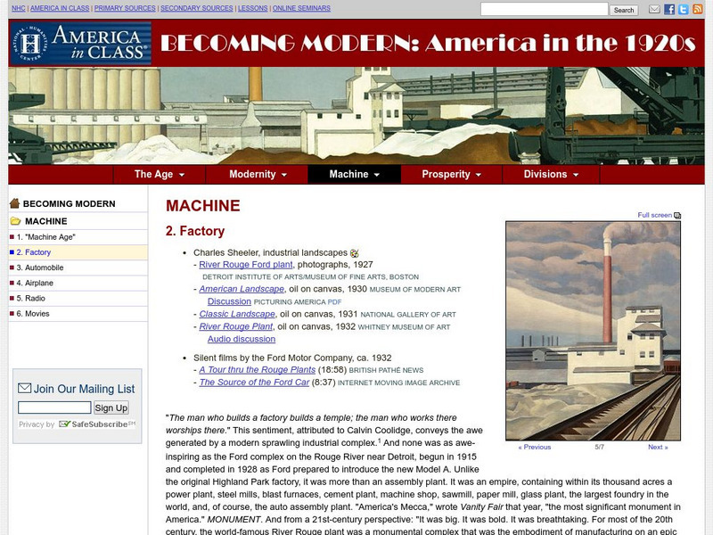
National Humanities Center: America in Class: America in the 1920s: Machine: Factory
The National Humanities Center presents collections of primary resources compatible with the Common Core State Standards - historical documents, literary texts, and works of art - thematically organized with notes and discussion...
Curated OER
Educational Technology Clearinghouse: Maps Etc: The West, 1783 1789
A map of the early United States between 1783 and 1789 showing the territorial State claims west to the Mississippi River, and is keyed to show undefined or disputed boundaries, boundaries of States and territories, and boundaries not...
Curated OER
Educational Technology Clearinghouse: Maps Etc: Flood Stations, 1916
A map from 1916 of the United States showing the cities where the government maintained flood stations at the time. "Reservoirs to hold back flood waters have been proposed, but their construction would be very expensive. The Weather...
Curated OER
Educational Technology Clearinghouse: Maps Etc: Presidential Election, 1860
A map of the United States showing the results of the presidential election of 1860. The map is color-coded to show the states carried by Lincoln (Republican), Breckinridge (Southern Democrat), Bell (Constitutional Union), and Douglas...
Curated OER
Educational Technology Clearinghouse: Maps Etc: Presidential Election , 1860
A map of the United States showing the results of the presidential election of 1860. The map is color-coded to show the states carried by Lincoln (Republican), Breckinridge (Southern Democrat), Bell (Constitutional Union), and Douglas...
Curated OER
Etc: Maps Etc: Interior Water Routes of the Us, 1910
A map from 1910 of the United States showing the navigable rivers and lakes of the interior in which water depths are three feet or more.
University of Georgia
University of Georgia: Map of Southern u.s. (1806)
A detailed 1806 map of the southern U.S. States and Territories and Spanish Florida showing borders, rivers, mountains and overland trails.
Curated OER
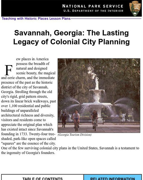
National Park Service: Savannah, Ga: Lasting Legacy of Colonial City Planning
The site explores the colonial history of the city of Savannah, Georgia. This interactive instructional activity has excellent information, an inquiry question, historical context, maps, readings, images, and activities.
US Geological Survey
U.s. Geological Survey
The U.S. Geological Survey reports on the latest news affecting the earth today, as well as providing a wealth of data, reports, and information.
Library of Congress
Loc: Map Collections 1500 2002
This collection provides maps dating back to 1500 up to the present. The collection includes: cities, towns, discovery and exploration, conservation and environment, military battles, cultural landscapes, transportation, communication,...
Other
Robert Hass: Poet Laureate, Environmentalist, Educator
A brief article that summarizes Robert Hass's literary career.
Curated OER
The u.s. At the Close of the Revolution, Showing Land Claims of States, 1911
A map of the United States at the close of the American Revolution showing the western land claims extending to the Mississippi River by the individual states after the Treaty of 1783 with Britain. The map shows the frontiers with the...
Curated OER
Etc: Maps Etc: The States and Their Land Claims at Close of Revolution, 1783
A map of the United States at the close of the American Revolutionary War showing the newly formed States, and their claims to the lands west of the Allegheny Mountains to the Mississippi River. The map shows the territories jointly...
University of Chicago
Ancient Mesopotamia: Warfare and Empire [Pdf]
In this lesson students discuss how the changing natural environment can become a source of conflict between some groups within a society. Discuss with students how using the rivers for irrigation caused conflict between the Sumerian...
University of Groningen
American History: Outlines: Louisiana and Britain
One of Jefferson's acts doubled the area of the country. At the end of the Seven Years' War, France had ceded to Spain the territory west of the Mississippi River, with the port of New Orleans near its mouth -- a port indispensable for...
Other
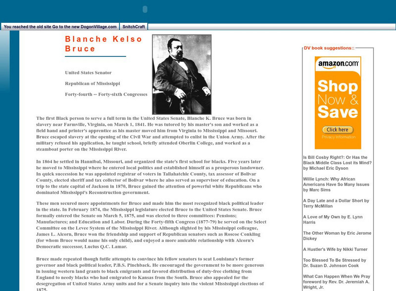
Dogon Village: Blanche Kelso Bruce
Blanche Kelso Bruce was a Republican Senator from Mississippi, and the first Black U.S. Senator. He advocated for relief for newly freed slaves, for improving navigation on rivers, and for desegregation of the United States Army. He also...
Other
National Underground Railroad Freedom Center
The National Underground Railroad Freedom Center features the history of slavery in the United States, from the gallant actions of those who organized the Underground Railroad to stories of those who escaped to freedom. Strategically...
Khan Academy
Khan Academy: Introduction to China
Much of China, a country slightly larger than the continental United States, is hilly or mountainous. To its east lies the Pacific Ocean; to its south thick jungles. Mountains in the southwest connect in the west with the Himalayas,...
Curated OER
Etc: Maps Etc: United and Central Provinces of India, 1912
A map from 1912 of the British provinces of Bengal, Assam, Bihar and Orissa, Central India and the United Provinces of Agra and Oudh at the time. The map also shows the countries of Nepal and Bhutan, and the Indian state of Sikkim. The...
Other
Memorial Hall Online Museum: In the Classroom
This site from the Memorial Hall Museum provides curricula, information and activities for teachers teaching social studies.
Ibis Communications
Eye Witness to History: Washington d.c. 1800
This article offers personal accounts from Abigail Adams regarding her journey and arrival in the new national capital.
Varsity Tutors
Varsity Tutors: Web English Teacher: Langston Hughes
This resource focuses on the works of famous African-American author, Langston Hughes.
Other popular searches
- Major United States Rivers
- United States Rivers Map
- Maps, United States Rivers
- Maps United States Rivers


