Hi, what do you want to do?
Curated OER
Making Use of Fieldwork
Students transcribe, analyze, and archive fieldwork and create a team project drawn from fieldwork. They brainstorm a list of reasons why preservation of collected materials is important and explore the online archives of the American...
Curated OER
Water Cycle and Ecosystems
Students explore the water cycle. In this investigative lesson, students examine the water cycle process. They will record their observations and discuss marine and freshwater ecosystems.
Curated OER
Ancient Mesopotamia
Students locate ancient Mesopotamia on a map. They examine the religion, government and the development of writing. They write and draw pictographs and cuneiform writing. They create a class book based on their investigations.
Curated OER
Fluoride in Durango's Water-Helpful or Harmful?
Third graders complete several activities in their quest to find out about the addition of fluoride to city water. First, they create a guide sheet to help organize notes. The next two steps involve taking notes through guided practice....
Curated OER
Political Geography of Europe
Fifth graders listen to a lecture that traces the political geography of Europe from 814 through 1997. They incorporate these themes into a research project on Western Europe.
Curated OER
Routing Explorers
Students read excerpts from an explorer's journal and then become investigators and navigators themselves. Students answer questions about the difficulties and time it took for the explorers to travel from Washington to New Orleans and...
Curated OER
Scrapbook of Freedom
Third graders examine what it was like for a child traveling in the Underground Railroad.
Curated OER
Snow vs. Water
Students fill three cups with snow. They record the height of snow in each cup, and allow the snow to melt. Students measure the height of the water in each glass or cup, and record their results on the worksheet. They answer questions...
Curated OER
Tailoring Two Cultures to Adapt to Wisconsin's Biotic Zones
Middle schoolers examine the effect of the various ice ages on Wisconsin. In groups, they create a map representing the five geographic regions of Wisconsin. They must write out a description of each region to be placed on a poster...
Curated OER
Tri-County Project: Precipitation
Students examine and research the annual rainfall in Nebraska. They create a map of the annual rainfall in Nebraska and use the map to develop explanations of settlement.
Curated OER
"Tri-County" Project--Well in a Cup
Students construct a model of a well to identify how water is brought to the surface. Signs of pollution are investigated.
Curated OER
Sink or Float?
Students predict and explore to discover which objects sink or float in fresh and salt water, predict how salt affect objects, write predictions on T chart, discuss difference between man-made and natural waters, and graph results.
Curated OER
What is Life Without Water?
Young scholars differentiate between how they use water in response to a need and how they use water for pleasure. They read books about water, participate in class discussion and illustrate their observations.
Curated OER
Using Science Skills to Investigate Japanese Quail
Sixth graders explore Japanese Quail. They generate and record scientific questions about the quail. Students gather information from various sources and record their data. They compose an inquiry report and include it in a portfolio.
Curated OER
My Neighborhood
Second graders discuss maps and identify boundaries found on a map. They walk through their school and nearby neighborhood and collect information regarding important features of the area.
Curated OER
Run-off Race
Students create wetland models in pans and use them to experiment to see how plants help slow the flow of runoff water and keep our waterways clean.
Curated OER
Utah American Indian and non-Indian Conflicts
Seventh graders examine Utah's struggle for statehood. They study the relationship between American Indian and non-Indians during the Utah Territorial period and determine that the process of statehood involving cultures, and ideas left...
Curated OER
An Investigation Into Our Community
Students examine maps of Palmer, Massachusetts and practice giving directions. As a class, they discuss how it changed from a farming community to more industrial. To end the lesson, they take pictures of the community to show how it has...
Curated OER
Multiple Meaning Words
In this multiple meaning word worksheet, students connect lines between three columns to match words with multiple meanings to two correct definitions.
Annenberg Foundation
Annenberg Learner: United States History Map: The Nation Expands
After examining a map showing the expansion of the United States, click to read about each addition to the country and see where that addition is. Play Expansion Concentration to test your skills.
The Newberry Library
Newberry: Historical Geography of Transportation: Map 10: United States, 1835
Lessons K-12 examining the role of transportation systems in the development and settlement of the lands between the Appalachian Mountains and the Mississippi River.
Annenberg Foundation
Annenberg Learner: United States History Map: From Sea to Shining Sea
A great interactive map that reinforces your knowledge of the geographic features of the United States. Begin by reading general information on reading maps, then play the game.
NOAA
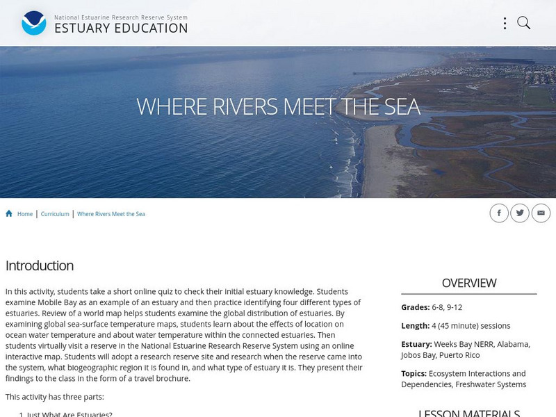
Noaa: Estuaries 101 Curriculum: Where Rivers Meet the Sea
A complete learning module where students watch an introductory video, take an estuary quiz, learn about landforms related to the environment, and use maps and real-time data to study estuary ecosystems in the United States.
Ducksters
Ducksters: United States Geography: Rivers
Kids learn about the major rivers of the United States including the Mississippi, Missouri, Rio Grande, Colorado, and the Hudson. Geography of the US.
Other popular searches
- Major United States Rivers
- United States Rivers Map
- Maps, United States Rivers
- Maps United States Rivers


