Other
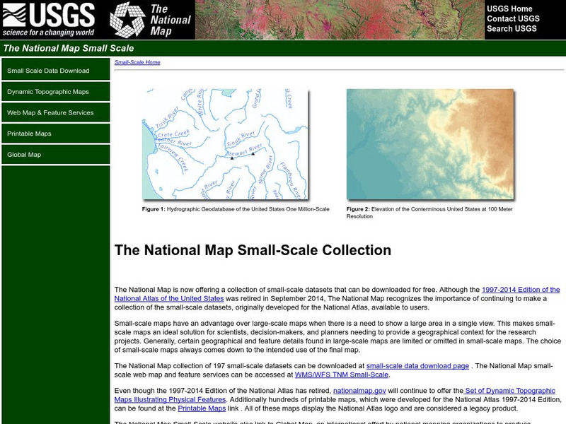
National Atlas of the United States
The National Atlas of the United States provides comprehensive information collected by the Federal Government and delivered through interactive maps. Select from a variety of scientific, societal, and historical information to be...
National Geographic
National Geographic: Mapping u.s. Watersheds
Students will identify and explore major rivers and watersheds in the United States.
Other
National Atlas
This site is excellent for mapping. You can create ANY kind of map you need. Select all kinds of layers: agriculture, biology, boundaries, climate, history, and more, and then select the geography. It does take some time to figure out...
University of Richmond
Digital Scholarship Lab: American Panorama: Foreign Born Population
Explore trends in immigration to the United States between 1850 and 2010 with this interactive map. Each year shows the numbers of people that were born in a foreign country, with the data being represented in multiple ways. Use the...
Other
Uintah Basin Tah Project: Dominguez and Escalante Expedition 1776
The Dominguez-Escalante Expedition of 1776 was tasked with finding a route overland from Santa Fe, New Mexico to a Spanish mission in northern California. This page provides biographies of the people on this journey as well as the maps...
Other
Time Zones for P Cs
This site from Time Zones for PCs provides a colorful, interactive maps of the United States and the world. Click on one of the starred cities to find out what time it is there.
US Holocaust Memorial Museum
U.s. Holocaust Memorial Museum: Jewish Parachutists From Palestine
The U.S. Holocaust Memorial Museum features the Jewish Parachutists from Palestine who volunteered to join the British Army. Describes their role in organizing resistance to the Germans and aiding in the rescue of Allied captives....
PBS
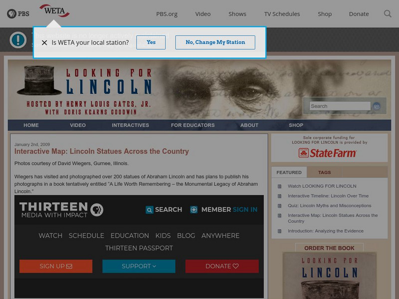
Pbs Interactive Map: Lincoln Statues Across the Country
Did you know there are over 200 statues and memorials of Lincoln in the United States? Click on each location to see a picture of the statue located there.
US National Archives
Docsteach: Documenting Key Presidential Decisions
In this activity, students will identify and analyze documents related to key presidential decisions. Through close examination of the documents, students will determine which president was involved. Students will then identify the...
PBS
Pbs Learning Media: Library of Congress: Media Gallery | Women's Suffrage
This collection of primary source documents from the Library of Congress supports teaching about women's suffrage in the United States. These primary sources include images, song sheets, articles, statistical documents, maps, political...
Annenberg Foundation
Annenberg Learner: A Biography of America: A New System of Government 1776 1826
This module examines America's efforts to form a new government after the War for Independence and to draft the Constitution. Includes an interactive activity comparing Thomas Jefferson's and Alexander Hamilton's visions for America, a...
Alabama Learning Exchange
Alex: Plan the Adventure of a Lifetime With Lewis and Clark
This plan is the first lesson plan in my unit on Lewis and Clark. This is a project-based, hands-on unit in which students "become" part of the Corps of Discovery - the members traveling in the Lewis and Clark Expedition. In this lesson...
Independence Hall Association
U.s. History: Independence Hall
Brief history of the "birthplace of the United States", with construction details, and a location map.
Digital Public Library of America
Dpla: Puerto Rican Migration to the Us
This primary source set uses maps, documents, and photographs to tell the story of Puerto Rican migration to the United States.
Other popular searches
- United States Maps Regions
- Northeast United States Maps
- 50 United States Maps
- Create United States Maps
- Western United States Maps
- Custom United States Maps
- Outline Maps United States
- Blank United States Maps
- Maps, United States Rivers
- Maps United States Capitals
- Maps of the United States
- Maps United States


