Smithsonian Institution
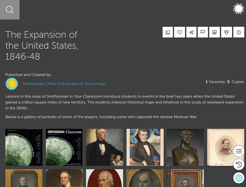
Smithsonian Learning Lab: The Expansion of the United States, 1846 48
This online lesson plan shows students through primary sources how the borders of the U.S. changed in just a few years. They are asked to analyze maps and use map skills. All maps and worksheets are included as well as additional resources.
University of Texas at Austin
Ut Library Online: Historical Maps of the United States
This extensive collection of Historical United States maps from the University of Texas Library Online cover early inhabitants, exploration and settlement, territorial growth, military history, and later historical maps. These maps are...
US Mint
United States Mint: In Mr. Lincoln's Shoes [Pdf]
Using the study of President Abraham Lincoln as a guide, students demonstrate basic map skills including cardinal directions and how to use a compass rose.
A&E Television
History.com: The States
Learn unique facts about each American state. You can also read a more in-depth history of each state, watch videos and play a game about all the states.
Annenberg Foundation
Annenberg Learner: United States History Map: The Nation Expands
After examining a map showing the expansion of the United States, click to read about each addition to the country and see where that addition is. Play Expansion Concentration to test your skills.
Lizard Point Quizzes
Lizard Point: Western Usa: States Quiz
Test your geography knowledge by taking this interactive quiz over the western United States.
Annenberg Foundation
Annenberg Learner: United States History Map: Colonists
Use these interactive maps to see and read about the colonization of the New World by several European nations. When you are finished looking at the maps, test your skills with the European Colonies Challenge.
Annenberg Foundation
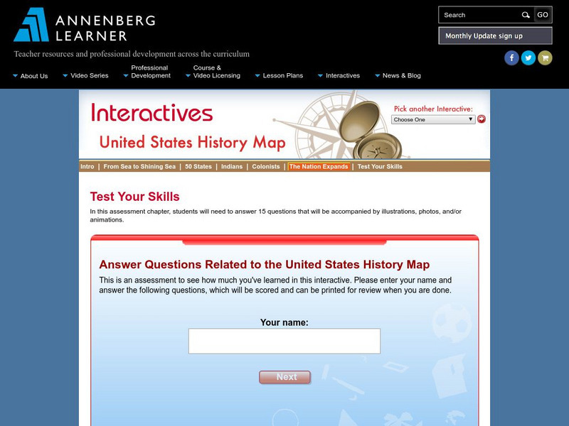
Annenberg Learner: Us History Map Assessment: Test Your Skills
Test how much you know about major U.S geographic features, Indian tribes, states and regions, European colonists and territorial expansion. View your correct and incorrect answers, and print out your assessment.
National Council of Teachers of Mathematics
Nctm: Illuminations: State Data Map
Data can be displayed in a variety of ways. This interactive map of the United States shows data by degrees of color. Choose to display data such as: land area, population, population density, gas use, and much more.
Lizard Point Quizzes
Lizard Point: Mexico: Federal States Quiz
Try this interactive geography quiz which tests your knowledge about the federal states of Mexico.
Ducksters
Ducksters: United States Geography for Kids: New Hampshire
Kids learn facts and geography about the state of New Hampshire including symbols, flag, capital, bodies of water, industry, borders, population, fun facts, GDP, famous people, and major cities.
Scholastic
Scholastic: Hunting for States, Capitals, and National Parks! [Pdf]
Students can use a map of the United States to locate state capitals and national parks.
Curated OER
Educational Technology Clearinghouse: Maps Etc: United States, 1888
A map from 1888 of the United States showing state boundaries and state capitals, major cities and towns, mountain systems, lakes, rivers, and coastal features. Longitude from Greenwich is shown at the top of the map, and from Washington...
Curated OER
Educational Technology Clearinghouse: Maps Etc: Drawing the United States, 1872
A map skills exercise from 1872 showing the drawing of the United States with proportional measurements. The map shows state and territory boundaries at the time (Dakota, Montana, Washington, Idaho, Wyoming, Utah, Oklahoma, New Mexico,...
Digital Dialects
Digital Dialects: Geography Games: States of the Usa
Study a map showing the states in the USA, and then try to match their names to their locations on a blank map.
Other
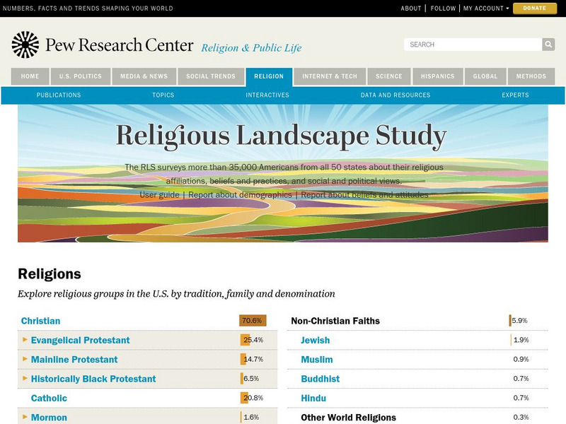
Pew Forum on Religion and Public Life: u.s. Religion Landscape Survey
Website summarizing the results of a survey on religion in the U.S. Contains maps and charts of information for each specific religion as well as bar graphs comparing the deomographics of the different religious groups. Two full reports...
Other
The Korean War: History
Contains in-depth information about the Korean War. Includes links to Korean War maps, a Korean War timeline, sites discussing the battles of the war, weapons used in the Korean War, and a photo documentary of the war.
Curated OER
Educational Technology Clearinghouse: Maps Etc: Forest Regions, 1898
A map from 1898 of the United States showing the forest regions in the contiguous 48 states. "Fully one third of the timber cut in the world each year comes from the forests of the United States. Indeed, lumbering is carried on so...
Curated OER
Etc: Maps Etc: Route of the Panama Isthmian Canal, 1904
A map from 1904 of the Panama Canal showing terrain relief of the isthmus, noting the 'Canal always follows the line of the Railroad’ from Colon to the city of Panama. "For generations the Panama Canal had been the dream of man and for...
Curated OER
Etc: Maps Etc: Density of Population in the u.s., 1901
A map from 1901 of the United States showing the population distribution at the time. The map is keyed to show areas of population densities ranging from sparse to very dense. This map is part of a classroom map study illustrating how,...
US Government Publishing Office
Ben's Guide to u.s. Government: Our Nation
Cartoon Ben Franklin guides students through a simple geography lesson about the seven continents, North America, the fifty states, and Washington, D.C.
ClassFlow
Class Flow: North American Regions
[Free Registration/Login Required] This flipchart contains a labeling activity and Activote questions pertaining to the North American regions.
NOAA
Noaa: Estuaries 101 Curriculum: Where Rivers Meet the Sea
A complete learning module where students watch an introductory video, take an estuary quiz, learn about landforms related to the environment, and use maps and real-time data to study estuary ecosystems in the United States.
ClassFlow
Class Flow: Tornados in the Us
[Free Registration/Login Required] Overview: In this lesson, students will learn the basics about how tornadoes are formed, and when and where they are most likely to occur. They will learn that the United States is the country most...


![United States Mint: In Mr. Lincoln's Shoes [Pdf] Lesson Plan United States Mint: In Mr. Lincoln's Shoes [Pdf] Lesson Plan](https://d15y2dacu3jp90.cloudfront.net/images/attachment_defaults/resource/large/FPO-knovation.png)


![Scholastic: Hunting for States, Capitals, and National Parks! [Pdf] Activity Scholastic: Hunting for States, Capitals, and National Parks! [Pdf] Activity](https://content.lessonplanet.com/knovation/original/480522-367e1f79d58efef695e5c826460eaadd.jpg?1661587497)


