Curated OER
Washington, D.C. Map
Here is an outline map of Washington, DC. Some of the points of interest in the city are labeled, as are Maryland, Virginia and Arlington. There are plenty of important monuments and locations not identified, making for a good...
US Census Bureau
United States Census Bureau: Quick Facts: Virginia
At this site from the U.S. Census Bureau you can discover facts about Virginia from the results of the census. Quickfacts includes numbers on population, business, and geography.
Library of Congress
Loc: Primary Sources by State
An interactive map to search for extensive collections of primary sources for each of the United States.
University of Richmond
Digital Scholarship Lab: Atlas of the Historical Geography of United States
Review America's history with over 700 individual maps that address a broad range of issues with this atlas. This atlas maps a variety of historical topics: "exploration and settlement of the continent, the location of colleges and...
50 States
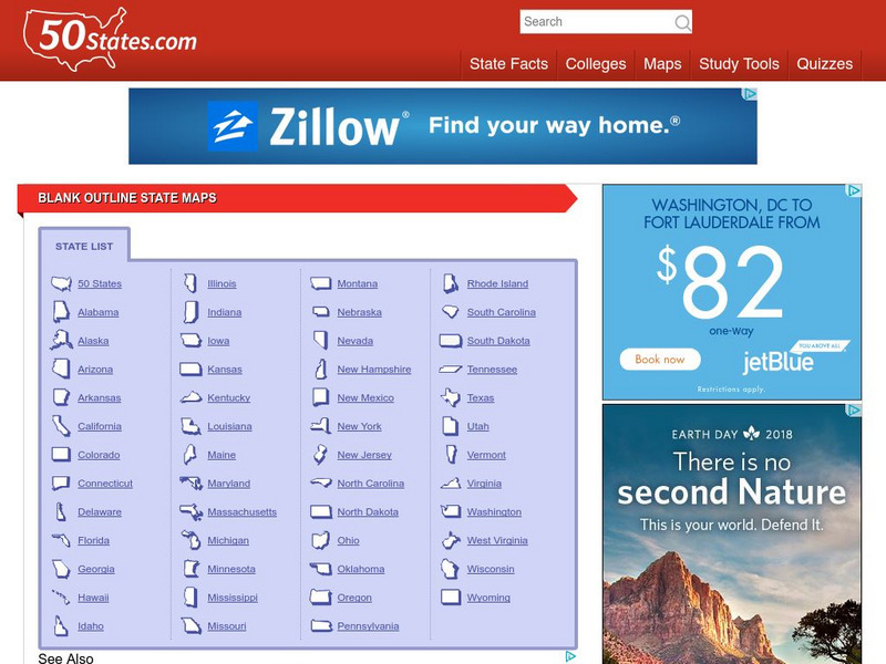
50 States: Blank Outline State Maps
All fifty states are linked here to outline maps of each. Also includes outline map of the United States.
University of Texas at Austin
Perry Castaneda Library Map Collection: u.s. Maps
At this site find any type of map on the U.S. and any of its states here. Great site for teachers to print out maps to use in the classroom.
Curated OER
Etc: Maps Etc: United States Industrial Sections, 1901
A map from 1901 of the United States showing the product regions by separating the country into "(1) the Northeastern, or cloth-manufacturing section; (2) the Northern, or food-, iron-, and coal-producing, and manufacturing section; (4)...
Curated OER
Etc: Maps Etc: United States City Distributions, 1906
A map from 1906 of the United States showing the general distribution of cities and towns at the time. The dots on this map show cities and towns, the largest cities are shown by the largest dots. - Frye's First Steps in Geography, 1906.
Central Intelligence Agency
Cia: World Factbook: Regional and World Maps
Maps of major areas of the world can be downloaded here. The maps have excellent detail and are in color.
National Geographic
National Geographic: Geostories: The Geography of Jazz
Explore this Geostory as it traces the roots of jazz from its humble beginnings in the southern United States to becoming one of the most widely recognized musical styles in the world.
Yale University
The Yale Map Collection: Online Maps
Yale University provides us with one of the largest collection of maps in the United States. Here you can view historical online maps covering a variety of subjects.
abcteach
Abcteach: Maps
[Free Registration/Login Required] Find outline maps of the continents and the United States and Canada, as well as other country and city maps.
Houghton Mifflin Harcourt
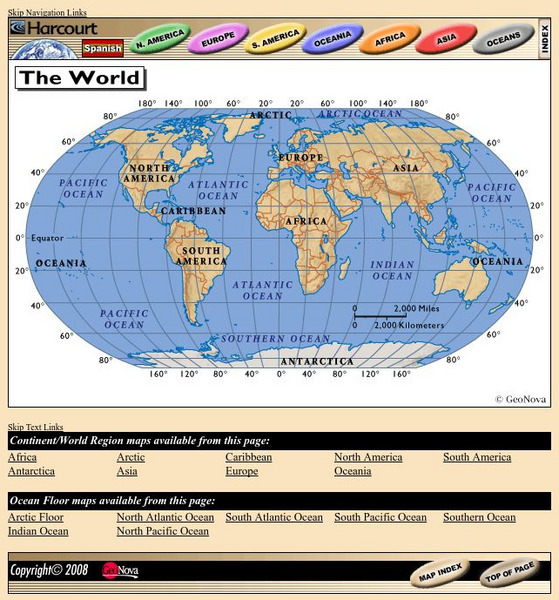
Harcourt: School Publishers: World Atlas: The World
Provides continent, country, and ocean floor maps from all over the world. Click on a continent's name to access the detailed maps which also include statistical facts on each available country.
Other
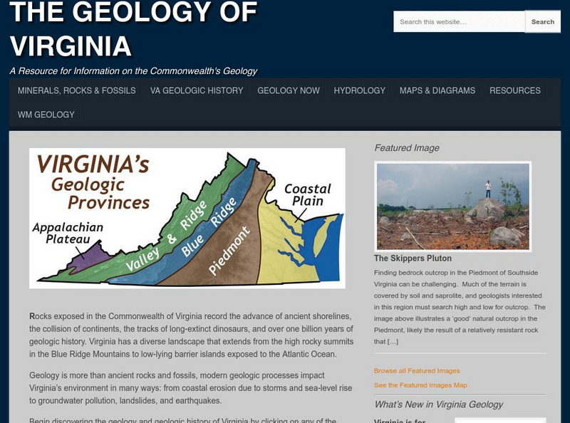
College of William and Mary: The Geology of Virginia
Information about the land forms of Virginia. Explore each region of the state and read about the ancient shorelines, active volcanoes, colliding continents, and dinosaur fossils.
University of Georgia
University of Georgia: Hargrett Library: Rare Map Collection
The Hargrett Library at the University of Georgia offers visitors the opportunity to view images of over 800 maps that go back almost 500 years. Researchers get a first-hand look at the lives of early Americans with these original maps...
Library of Congress
Loc: Map Collections 1500 2002
This collection provides maps dating back to 1500 up to the present. The collection includes: cities, towns, discovery and exploration, conservation and environment, military battles, cultural landscapes, transportation, communication,...
Curated OER
Map: Imperialism and the Balance of Power
World maps of the Colonial Empires of 1914 as well as their revenues during that time period. There are also maps depicting urban growth, type of government, wars and atrocities, and living conditions of the world in 1900.
Curated OER
Map: Imperialism and the Balance of Power
World maps of the Colonial Empires of 1914 as well as their revenues during that time period. There are also maps depicting urban growth, type of government, wars and atrocities, and living conditions of the world in 1900.
Maps of Mexico
Virtual Picture Travel Map of Massachusetts
Click on Massachusetts on the US map in order to Travel there and take a virtual tour of Boston. Visit places of interest such as Harvard University, MIT, John F. Kennedy Library and Museum, the Freedom Trail, Copley Square, Trinity...
Maps of Mexico
Virtual Picture Travel Map of Massachusetts
Click on Massachusetts on the US map in order to Travel there and take a virtual tour of Boston. Visit places of interest such as Harvard University, MIT, John F. Kennedy Library and Museum, the Freedom Trail, Copley Square, Trinity...
Other popular searches
- Geography of United States
- Geography United States
- Geography of the United States
- United States Geography Unit
- Physical Maps United States
- United States Geography Maps
- United States Geography 4 6
- Picture United State Maps
- Physical Maps of United States


