Ducksters
Ducksters: United States Geography for Kids: South Carolina
Kids learn facts and geography about the state of South Carolina including symbols, flag, capital, bodies of water, industry, borders, population, fun facts, GDP, famous people, and major cities.
Ducksters
Ducksters: United States Geography for Kids: Tennessee
Kids learn facts and geography about the state of Tennessee including symbols, flag, capital, bodies of water, industry, borders, population, fun facts, GDP, famous people, and major cities.
Ducksters
Ducksters: United States Geography for Kids: Texas
Kids learn facts and geography about the state of Texas including symbols, flag, capital, bodies of water, industry, borders, population, fun facts, GDP, famous people, and major cities.
Ducksters
Ducksters: United States Geography for Kids: Utah
Kids learn facts and geography about the state of Utah including symbols, flag, capital, bodies of water, industry, borders, population, fun facts, GDP, famous people, and major cities.
Ducksters
Ducksters: United States Geography for Kids: Virgin Islands
Kids learn facts and geography about the state of Virgin Islands including symbols, flag, capital, bodies of water, industry, borders, population, fun facts, GDP, famous people, and major cities.
Ducksters
Ducksters: United States Geography for Kids: Virginia
Kids learn facts and geography about the state of Virginia including symbols, flag, capital, bodies of water, industry, borders, population, fun facts, GDP, famous people, and major cities.
Ducksters
Ducksters: United States Geography for Kids: Wisconsin
Kids learn facts and geography about the state of Wisconsin including symbols, flag, capital, bodies of water, industry, borders, population, fun facts, GDP, famous people, and major cities.
Ducksters
Ducksters: United States Geography for Kids: Wyoming
Kids learn facts and geography about the state of Wyoming including symbols, flag, capital, bodies of water, industry, borders, population, fun facts, GDP, famous people, and major cities.
Ducksters
Ducksters: United States Geography for Kids: Arkansas
Kids learn facts and geography about the state of Arkansas including symbols, flag, capital, bodies of water, industry, borders, population, fun facts, GDP, famous people, and major cities.
Ducksters
Ducksters: United States Geography for Kids: Vermont
Kids learn facts and geography about the state of Vermont including symbols, flag, capital, bodies of water, industry, borders, population, fun facts, GDP, famous people, and major cities.
Ducksters
Ducksters: United States Geography for Kids: Washington
Kids learn facts and geography about the state of Washington including symbols, flag, capital, bodies of water, industry, borders, population, fun facts, GDP, famous people, and major cities.
Ducksters
Ducksters: United States Geography for Kids: West Virginia
Kids learn facts and geography about the state of West Virginia including symbols, flag, capital, bodies of water, industry, borders, population, fun facts, GDP, famous people, and major cities.
Ducksters
Ducksters: United States Geography for Kids: Ohio
Kids learn facts and geography about the state of Ohio including symbols, flag, capital, bodies of water, industry, borders, population, fun facts, GDP, famous people, and major cities.
New York Times
New York Times: Crossword Puzzle: The Fifty States
The New York Times Learning Network presents an online crossword puzzle that you can print or play online. This one is on The Fifty States. Subject matter may be a bit deep for an elementary student to work on independently.
Other
Gynzy: Snake: States and Capitals
Students learn the location of states and capitals in this learning game.
The White House
The White House: Presidents: Ronald Reagan
A biography of Ronald Reagan, the 40th President of the United States. The biography contains a picture as well as a link to the Ronald Reagan Library and Museum.
Other
D.c. History Project: Nation's Capital Moves to d.c.
Read the entry for May 15, 1800, to find out about John and Abigail Adams' feelings about the new President's Palace in the new capital of Washington, D.C.
ClassFlow
Class Flow: Southwest, Pacific, and Non Contiguous States and Capitals
[Free Registration/Login Required] This flipchart helps students identify the states and capitals of the Southwest, Pacific, and non-contiguous regions of the United States and includes a review game.
Ducksters
Ducksters: United States Geography for Kids: New Hampshire
Kids learn facts and geography about the state of New Hampshire including symbols, flag, capital, bodies of water, industry, borders, population, fun facts, GDP, famous people, and major cities.
Ducksters
Ducksters: United States Geography for Kids: South Dakota
Kids learn facts and geography about the state of South Dakota including symbols, flag, capital, bodies of water, industry, borders, population, fun facts, GDP, famous people, and major cities.
National Humanities Center
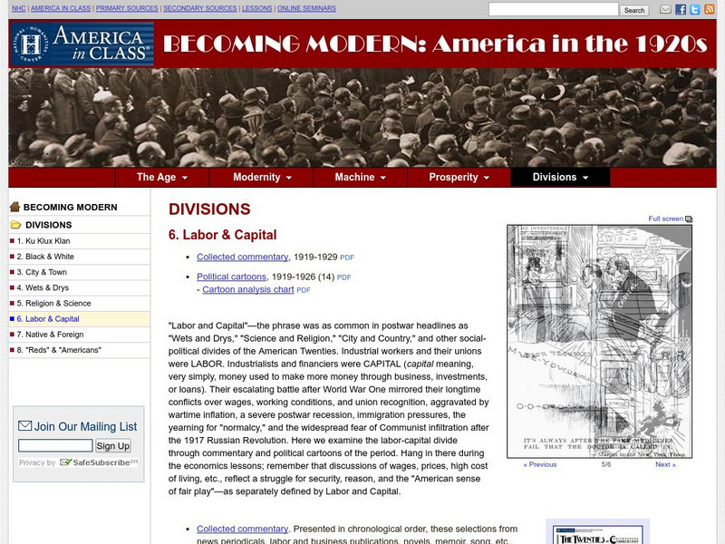
National Humanities Center: America in Class: America in the 1920s: Labor & Capital
The National Humanities Center presents collections of primary resources compatible with the Common Core State Standards - historical documents, literary texts, and works of art - thematically organized with notes and discussion...
Curated OER
Educational Technology Clearinghouse: Maps Etc: The United States, 1913
A map from 1913 of the United States with an inset map of the Alaska Territory. The map shows state boundaries and capitals at the time (for example, the map shows Guthrie as the capital of the Oklahoma Territory), major cities and...
Curated OER
Educational Technology Clearinghouse: Maps Etc: United States of America, 1883
A map from 1883 of the 'lower forty-eight’ United States showing state boundaries and state capitals, major cities and towns, mountain systems, lakes, rivers, and coastal features. The map shows Yellowstone National Park, the first in...
Curated OER
Etc: Maps Etc: United States and Confederate States, 1861
A map of the United States and Confederate States in 1861. The map is color-coded to show Free Union States, Slave Union States, Confederate States seceding before April 15, 1861, Confederate States seceding after April 15, 1861,...


