University of Texas at Austin
Perry Castaneda Library Map Collection: u.s. Maps
At this site find any type of map on the U.S. and any of its states here. Great site for teachers to print out maps to use in the classroom.
US Census Bureau
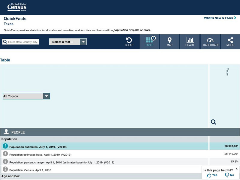
U.s. Census Bureau: State & County Quick Facts: Texas
Facts about the population demographics of Texas, categories of businesses, and basic geography.
University of Texas at Austin
University of Texas: Map of Early Indian Tribes in Eastern u.s.
A map of the land inhabited by Indian tribes in the eastern part of the United States before European settlement. Map shows linguistic stocks as well as culture areas, major, and minor tribes.
University of Texas at Austin
Ut Library Online: Historical Maps of the United States
This extensive collection of Historical United States maps from the University of Texas Library Online cover early inhabitants, exploration and settlement, territorial growth, military history, and later historical maps. These maps are...
Houghton Mifflin Harcourt
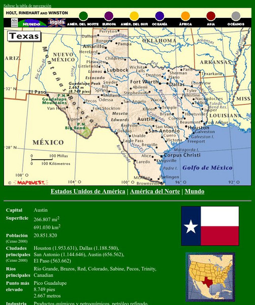
Holt, Rinehart and Winston: Estados Unidos De America: Texas
This site has a map of Texas in Spanish, with informational data also presented in Spanish about the state of Texas. Land mass, population, elevation, industry, agriculture, minerals, and resources are among the topics addressed. Also...
Texas State Library and Archives Commission
Texas State Library and Archives Commission: Hazardous Business: Line and Lands of the Texas & Pacific Railway, 1873
Here's a map showing the Texas & Pacific Railway. Click on link to get larger version which shows the route across Texas as well as an inset which shows how the railway connected to other railroads in the U.S.
Curated OER
Perry Castaneda Map Collection: Admission of States and Territorial Acquisitions
Here's a map to show you when states were added to the Union. It also shows territories and when they were acquired.
Curated OER
Mexicans Emigrate the United States in El Paso, Texas
Mexicans coming to the United States through an El Paso, Texas immigration station. Photograph by Dorothea Lange, 1938.
Curated OER
Famous Texans: Sam Houston
Here you can learn all about Sam Houston, "Governor of two states, president of the Republic of Texas, U.S. senator, and military hero, was one of the most colorful figures of 19th-century America." Trivia and quotes are also included.


