ProCon
Electoral College
The Electoral College's role in elections is sometimes confusing and controversial. Pupils use a debate topics website to research the pros and cons of the practice to debate whether the United States should still use the Electoral...
California Historical Society
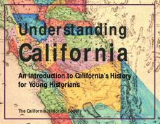
Understanding California
Here is a beautiful handout through which learners can explore the history of California, from the earliest Europeans to visit the Golden State up through its experiences during the Great Depression and position in the modern...
The Alamo
A Teacher’s Guide to Sam Houston
Need a teacher's guide all about Sam Houston and how he relates to the Texas Revolution? Look no further! The guide includes a timeline detailing Houston's life, important milestones, and relevant maps that include his movement around...
Johns Hopkins University
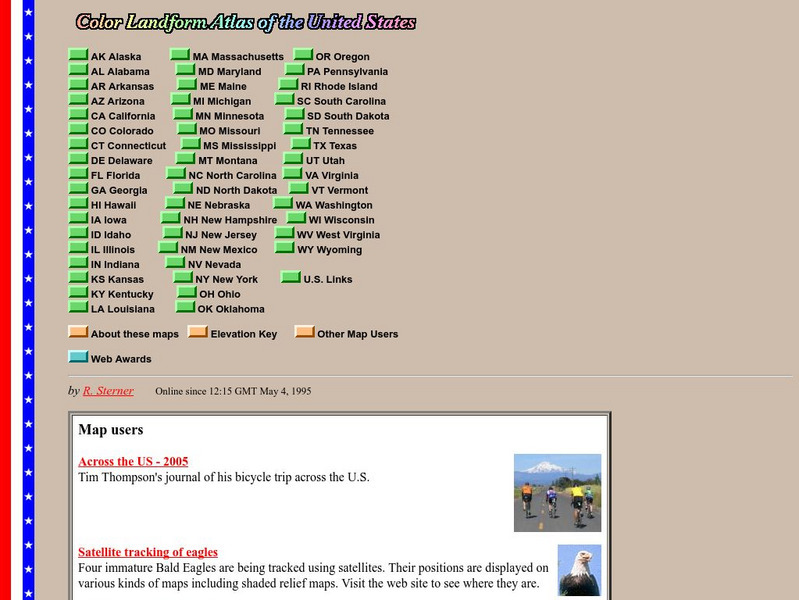
John Hopkins University: Color Landform Atlas of the u.s.
This site from John Hopkins University provides detailed maps of and physical information on each of the 50 states. Maps range from relief maps to satellite images, to historical maps.
US Department of State
U.s. Dept. Of State: Afghanistan
Background notes and map of Afghanistan comprise the front page. See menu items for further information such as reports from the U.S. Embassy in Kabul, US aid in Afghanistan, NATO in Afghanistan, and notes on Rebuilding Afghanistan.
Teacher Oz
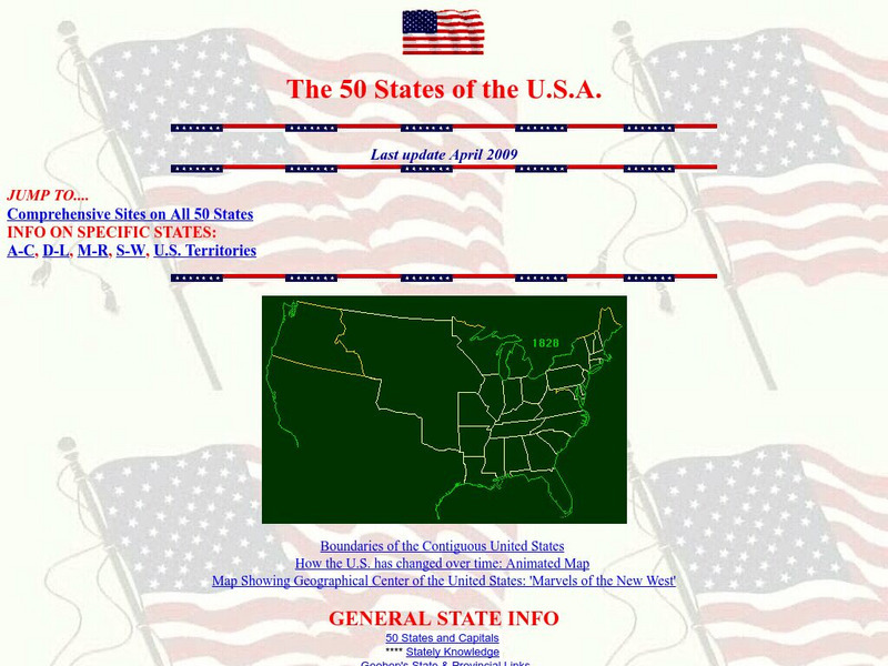
Teacher Oz: 50 States of the u.s.a.
A site with information such as maps, flags and songs of each of the 50 states in the US.
US Geological Survey
U.s. Geological Survey: Water Resources of the United States
Visit the U.S. Geological Survey's website for a wide variety of information on water. Content includes data on water quality, water use, acid rain, among others; publications; information on water resource programs; maps; information on...
US Holocaust Memorial Museum
U.s. Holocaust Memorial Museum: Jewish Parachutists From Palestine
The U.S. Holocaust Memorial Museum features the Jewish Parachutists from Palestine who volunteered to join the British Army. Describes their role in organizing resistance to the Germans and aiding in the rescue of Allied captives....
50 States
50 States: States and Capitals
This guide to the 50 U.S. states provides maps, pictures of state symbols, statistical information, and links to many other related sights. Test your knowledge with one of the quizzes or search for one of the fun facts.
US Holocaust Memorial Museum
U.s. Holocaust Memorial Museum: Anne Frank
This website gives a short biography of Anne Frank. There are links to maps and photographs.
US Holocaust Memorial Museum
U.s. Holocaust Memorial Museum: Nazi Camps
Extensive site created by the US Holocaust Memorial Museum to explain the people involved with the Nazi concentration/death camps. Learn about who was targeted, and how those who led the camps were ultimately punished. Site provides...
US Holocaust Memorial Museum
U.s. Holocaust Memorial Museum: Auschwitz
On this comprehensive website is the history of Auschwitz. You can click on maps, photographs, personal histories, and film footage.
US Holocaust Memorial Museum
U.s. Holocaust Memorial Museum: Holocaust Encyclopedia
Browsable directory of encyclopedia articles on topics related to the Holocaust, with accompanying rich-media material (photos, maps, historical films, audio clips, etc.) available for particular topics. A full complement of articles is...
Pew Research Center
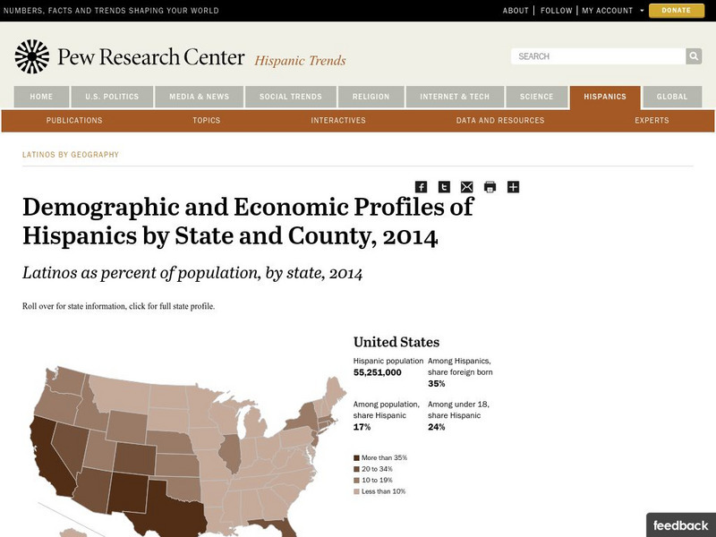
Pew Hispanic Center: Interactive Map: Where Latinos Live in the United States
Detailed population maps graphically demonstrate that changing demographics of the Hispanic population in the United States from 1980 to 2007.
Pew Research Center
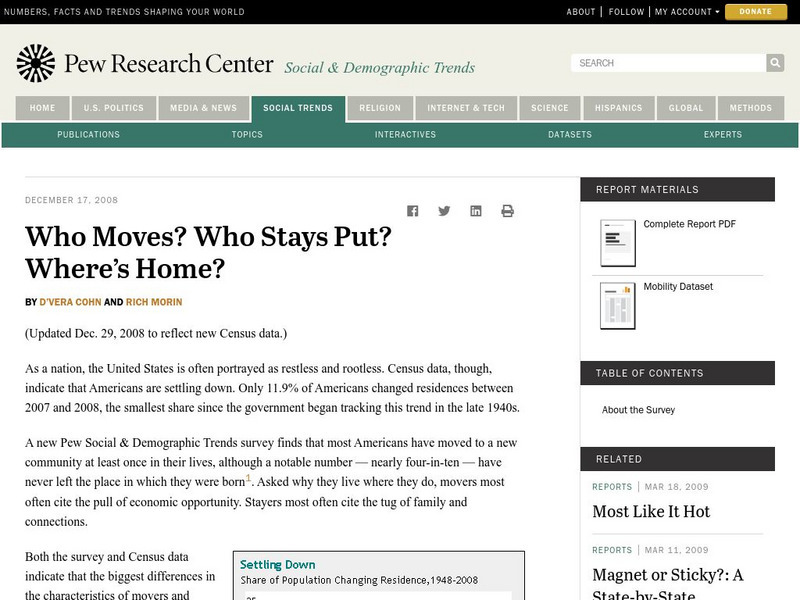
Pew Social and Demographic Trends: Migration Flows in the United States
The Pew Hispanic Research Center details the migration flows of the United States. Breaks down U.S. migration patterns from the last 20 years. Scroll mouse over map to see the regional migration throughout the years. View a map which...
Other
National Atlas of the United States
The National Atlas of the United States provides comprehensive information collected by the Federal Government and delivered through interactive maps. Select from a variety of scientific, societal, and historical information to be...
US Holocaust Memorial Museum
U.s. Holocaust Memorial Museum: German Soviet Pact
Read about the agreement between the Germans and Soviets that contained a secret section that provided for the partition of Poland and other parts of Eastern Europe between the two countries. Includes photographs, a map, and archival...
Encyclopedia of Earth
Encyclopedia of Earth: United States Virgin Islands (United States)
The Encyclopedia of Earth provides an overview of U.s. virgin islands, including its geography, natural resources, history, government, economy, and much more. Maps and images are also included, along with sources used to create the entry.
CRW Flags
Flags of the World: Clickable Map of the United States
Includes both printable images and fascinating trivia behind the flag of each state. It includes alternate flags used in the past.
Utah Education Network
Uen: Utah History Encyclopedia: Physical Geography of Utah
This resource provides information on the physical geography of the state.
US Geological Survey
Usgs: The Himalayas: Two Continents Collide
This site from the U.S. Geological Survey explains how the Himalayas were formed by plate-tectonic forces. Includes a nice map to help visualize the theory.
Cayuse Canyon
The Us50
This clickable map of the United States gives students access to research information from history and tourism to attractions and famous historic figures.
US Geological Survey
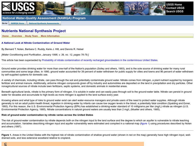
Usgs: A National Look at Nitrate Contamination of Ground Water
This site features a map of the United States which indicates areas with the highest risk of nitrate contamination in ground water. Links to a description of ground water contamination in U.S.

