CK-12 Foundation
Regular and Irregular Polygons: Polygon States
Colorado would probably object if Wyoming enlarged its borders. Scholars use an interactive map to change the borders of U.S. states to see how angles change. They then answer questions about regular and irregular polygons.
American Battle Monuments Commission
The Great War: U.S. Division Under Allied Command
The victory of Allied forces in World War I is due in large part to the continued collaboration and support of the Allied divisions themselves. Learn more about the ways Australia, Britain, France, and the United States worked together...
Curated OER
Biggest Cities in Each State Quiz
In this online interactive geography quiz worksheet, students examine the chart that includes the names of 50 U.S. states. Students identify the names of the two largest cities in each state in 8...
Curated OER
State Nicknames Quiz
In this online interactive geography quiz worksheet, students examine the chart that includes the names of 49 states. Students identify the nicknames of the states in 6 minutes.
Curated OER
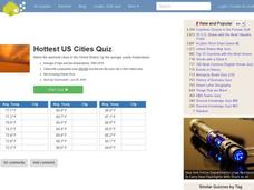
Hottest US Cities Quiz
In this online interactive geography quiz learning exercise, students respond to 20 identification questions about the hottest cities in the United States. Students have 4 minutes to finish the timed quiz.
Curated OER
Drought in Your State
In this drought worksheet, students study the "US Drought Monitor" and complete 8 short answer questions on the causes and effects of drought.
Curated OER
USA Immigration by Country Quiz
In this online interactive geography quiz learning exercise, students respond to 30 identification questions about countries U.S. citizens have immigrated from. Students have 5 minutes to complete the quiz.
Curated OER
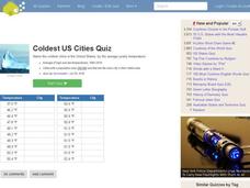
Coldest US Cities Quiz
In this online interactive geography quiz worksheet, students respond to 20 identification questions about the coldest cities in the United States. Students have 4 minutes to complete the quiz.
Curated OER
Air Pollution: What's the Solution?
This air pollution worksheet provides a step-by-step process for gathering data about the ozone and weather. Amateur meteorologists enter data for 3 days including the air quality, the temperature, the wind speed, any particular events...
Curated OER
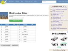
Most Livable Cities Quiz
In this online interactive geography quiz worksheet, learners respond to 20 identification questions about the most livable cities in the world. Students have 4 minutes to complete the quiz.
Curated OER
World Capitals Quiz
In this online interactive geography quiz worksheet, students respond to 195 identification questions about the capital cities of countries in the world. Students have 12 minutes to complete the quiz.
Curated OER
European Capitals Quiz
In this online interactive geography quiz worksheet, students respond to 45 identification questions about the capitals cities of European countries. Students have 5 minutes to complete the quiz.
Curated OER
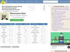
People from Places Quiz
In this online interactive geography quiz worksheet, learners respond to 20 identification questions about what people from certain areas of the world are known as. Students have 4 minutes to complete the quiz.
PBS
Pbs Kids: Where's Buster?: A u.s. Geography Game About the States
Develop map and directional skills as well as skills in following a series of clues to find which U.S. state Buster is in.
Annenberg Foundation
Annenberg Learner: u.s. History Map Interactive
Become a geography whiz as you learn how the United States was settled. Discover how the continent was irrevocably changed by European colonization, the events that caused the wholesale displacement and decimation of the land's original...
US Government Publishing Office
Ben's Guide to u.s. Government: Place the States Game
Place the states in the correct place on this map of the United States.
US Holocaust Memorial Museum
U.s. Holocaust Memorial Museum: World War Ii in Europe: Animated Maps
The maps on this website show the ebb and flow of Germany's initial domination of Europe, and then the allies' retaking of the territory in WW II. Audio commentary describes the changes from 1939 to 1945.
Other
Quiz Hub: u.s. Map Game
Test your knowledge of United States geography by playing this U.S. map game. Game is timed.
Other
Seterra: The u.s. 50 States Map Quiz Game
Test your knowledge and see if you can locate all fifty states on a map!
ABCya
Ab Cya: Geography Practice: Usa Puzzle Map
Assemble a puzzle of the United States to test your knowledge of its geography.
University of Oregon
Mapping History Project: Territorial Expansion of the u.s. 1783 1853
Click on the sliding bar and watch how the United States territory grew with the Louisiana Purchase, Florida Acquisitions, Texas Annexation, Oregon Country, and Mexican Cession.
Other
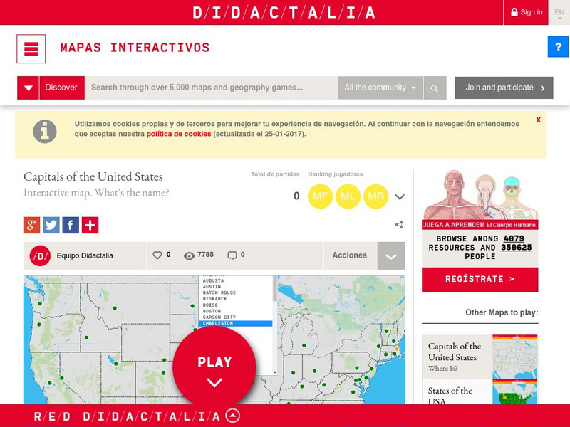
Didactalia: Interactive Map: Capitals of the United States
Interactive map and game to identify capitals of the U.S. states.
University of Oregon
Mapping History Project: Mexican Cession: Political Boundaries
Click on this map to see the boundaries of Mexico, Texas, and the United States before the Mexican Cession, and then click again to see the land ceded to the U.S. after the Treaty of Guadalupe Hidalgo. Be sure to click to see the key...
US Department of Labor
Bureau of Labor Statistics: Name That State!
Interactive activity in which students click on the identify the state. Choose from easy, medium, hard levels.


