University of Texas at Austin
Perry Castaneda Library Map Collection: u.s. Maps
At this site find any type of map on the U.S. and any of its states here. Great site for teachers to print out maps to use in the classroom.
University of Texas at Austin
Perry Castaneda Library Map Collection: Maps of u.s. National Parks
Alphabetical list of maps of United States National Parks and monuments produced by the U.S. National Park Service.
US Geological Survey
Usgs: u.s. Atlantic Continental Margin Gloria Mapping Program
This site from the U.S. Geological Survey allows you to access detailed images of the continental margin around the United States. There is additional information about the sonar methods used, and a wealth of additional sources listed.
Other
U.s. Genealogy Map Project: u.s. Border/land Claims 1804 1823
A great map and a list of the acquisitions and border changes of the United States from 1804 to 1823. A concise resource showing Western expansion.
Houghton Mifflin Harcourt
Holt, Rinehart and Winston: World Atlas: United States
Features a detailed map of the United States with some basic facts. Click on each state name to get even a more detailed map and information.
Other
Accu weather.com: Precipitation Maps
A comprehensive site of precipitation maps for the entire U.S., regions of the U.S., individual states, and areas around the world. Includes maps showing predicted precipitation, actual precipitation, and accumulated precipitation. It...
Other
The Story of the Us Told in 141 Maps
This collection of United States maps includes a year-by-year. Beginning from the Declaration of Independence and extending to present-day, students will learn explore and interact with these maps that change year-by-year.
University of Texas at Austin
University of Texas: Map of Early Indian Tribes in Eastern u.s.
A map of the land inhabited by Indian tribes in the eastern part of the United States before European settlement. Map shows linguistic stocks as well as culture areas, major, and minor tribes.
Other
Metrocosm: Here's Everyone Who's Immigrated to the u.s. Since 1820
America is referred to as a "melting pot". View how we attained this label using the following map that shows patterns of immigration from 1820-2013. Included are charts that show the immigration "waves" by country from 1820-2013.
Other
Google Maps Mashups: u.s. History: u.s. Presidents and Their Spouses
A visual of where the U.S. Presidents spouses are originally from.
Library of Congress
Loc: Map Collections 1500 2002
This collection provides maps dating back to 1500 up to the present. The collection includes: cities, towns, discovery and exploration, conservation and environment, military battles, cultural landscapes, transportation, communication,...
University of Texas at Austin
Ut Library Online: Historical Maps of the United States
This extensive collection of Historical United States maps from the University of Texas Library Online cover early inhabitants, exploration and settlement, territorial growth, military history, and later historical maps. These maps are...
University of Georgia
University of Georgia: Map of Southern u.s. (1806)
A detailed 1806 map of the southern U.S. States and Territories and Spanish Florida showing borders, rivers, mountains and overland trails.
US Holocaust Memorial Museum
U.s. Holocaust Memorial Museum: Holocaust History Animated Maps
To fully understand the breadth and scope of the Holocaust, view the following maps of key locations. These maps are in video form with explanations provided. There are also links provided for further research.
NOAA
Noaa: Earth System Research Laboratory: Psd: Interactive Climate Map of u.s.
Investigate climate trends across the United States by clicking on individual states and then specific cities. Data is presented from 1961-1990.
Library of Congress
Loc: Primary Sources by State
An interactive map to search for extensive collections of primary sources for each of the United States.
University of Georgia
University of Georgia: A Map of United States of America (1827)
A large and surprisingly accurate map from 1827 of the U.S. States and Territories at the time. Clearly shows borders of states and territories as known at the time.
University of Georgia
University of Georgia: The United States of North America in 1796
A large map from 1796 of the U.S. States and Territories at the time.
University of Georgia
University of Georgia: A Map of the u.s. Of North America (1783)
A large detailed map of newly formed United States upon the agreement on the Treaty of Paris of 1783, showing the agreed boundaries between the British and new United States lands.
University of Georgia
University of Georgia: Map of Southern States of America 1795
A large and detailed map of the southern U.S. States and territories to the immediate west. Indicates rivers, the Appalachian Mountains and latitude and longitude.
University of Georgia
University of Georgia: Map of Va, Nc, Sc, Ga, and Fl (1788)
A 1788 map of the the new U.S. states of Virginia, North Carolina, South Carolina, Georgia and the Spanish lands of Florida.
US Holocaust Memorial Museum
U.s. Holocaust Memorial Museum: Anchluss, March 1938
A map showing the expansion of Germany into Austria in 1938, which resulted in the Anschluss, the unification of Germany and Austria.
US Department of Energy
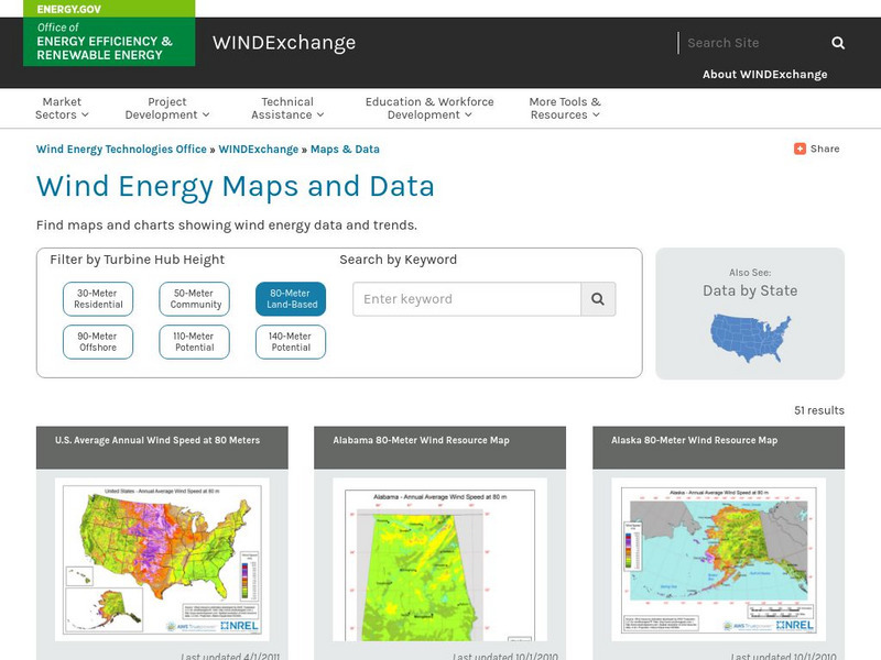
U.s. Department of Energy: Wind Program: Wind Powering America: Maps
An interactive map of the United States that gives information about each state's wind power potential.
University of Nebraska
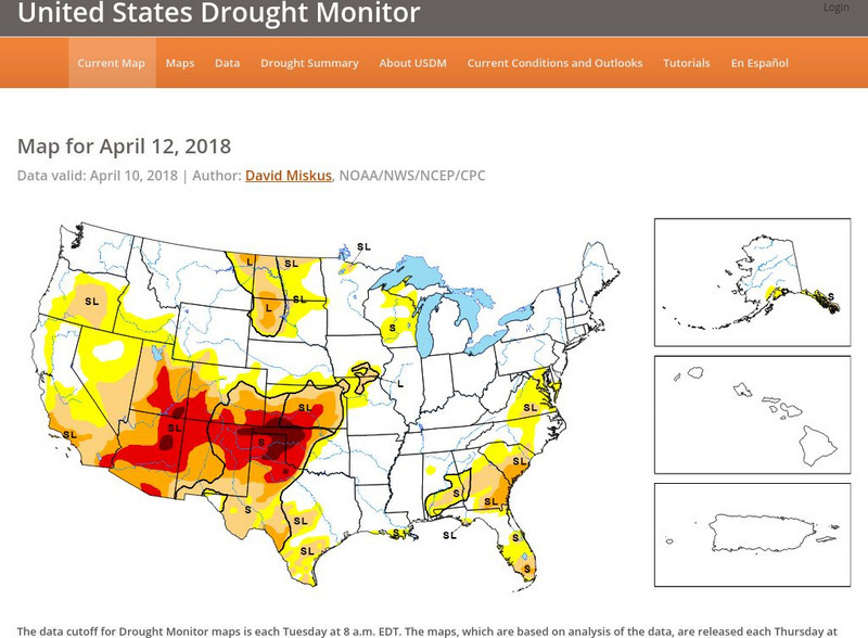
United States Drought Monitor
This interactive map of the United States provides an extensive overview of drought conditions. You can watch animations of drought patterns over different time intervals.


