Library of Congress
World Digital Library: United States History: Map
A collection of primary source materials linked to a map that explore a wide scope of events in the history of the United States from 1492 on. Click on any numbered circle and a popup appears showing one or more thumbnails and where the...
National Geographic
National Geographic: Population Density in the United States
Several factors contribute to the population trends across the United States. This lesson will explore maps to discover and understand these trends.
Other
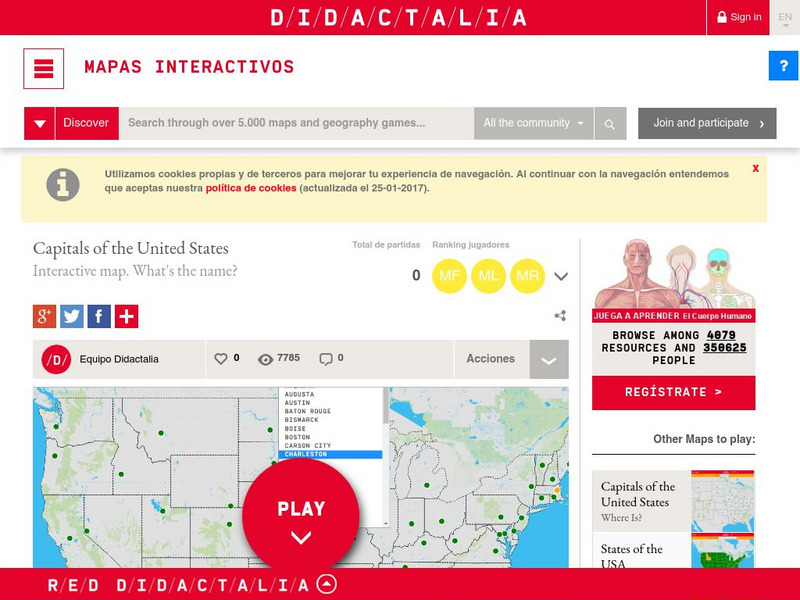
Didactalia: Interactive Map: Capitals of the United States
Interactive map and game to identify capitals of the U.S. states.
Enchanted Learning
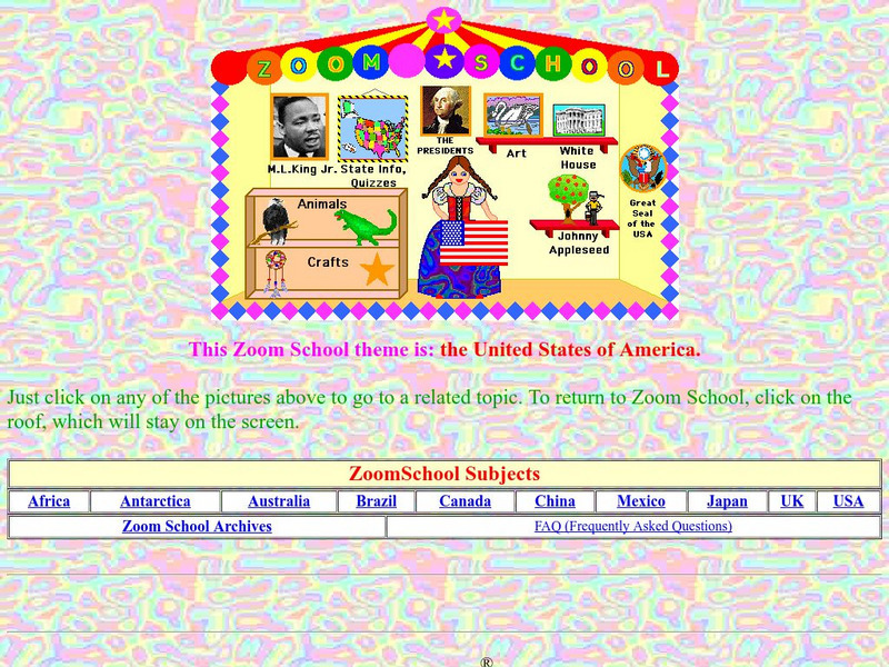
Enchanted Learning: Zoom School: United States of America
Use this resource to explore each state to get facts, maps and symbols; learn about the presidents; read about bald eagles and dinosaur fossils found in the U.S., find fun and exciting patriotic crafts and more.
Other
Nasta: State Departments of Education
This interactive map of the U.S. provides access to individual state departments of education in all fifty states.
Encyclopedia of Earth
Encyclopedia of Earth: United States Virgin Islands (United States)
The Encyclopedia of Earth provides an overview of U.s. virgin islands, including its geography, natural resources, history, government, economy, and much more. Maps and images are also included, along with sources used to create the entry.
University of Oregon
Mapping History Project: Mexican Cession: Political Boundaries
Click on this map to see the boundaries of Mexico, Texas, and the United States before the Mexican Cession, and then click again to see the land ceded to the U.S. after the Treaty of Guadalupe Hidalgo. Be sure to click to see the key...
University of Georgia
University of Georgia: A Map of United States of America (1827)
A large and surprisingly accurate map from 1827 of the U.S. States and Territories at the time. Clearly shows borders of states and territories as known at the time.
University of Georgia
University of Georgia: The United States of North America in 1796
A large map from 1796 of the U.S. States and Territories at the time.
University of Georgia
University of Georgia: A Map of the u.s. Of North America (1783)
A large detailed map of newly formed United States upon the agreement on the Treaty of Paris of 1783, showing the agreed boundaries between the British and new United States lands.
University of Georgia
University of Georgia: Map of Southern States of America 1795
A large and detailed map of the southern U.S. States and territories to the immediate west. Indicates rivers, the Appalachian Mountains and latitude and longitude.
University of Georgia
University of Georgia: Map of Va, Nc, Sc, Ga, and Fl (1788)
A 1788 map of the the new U.S. states of Virginia, North Carolina, South Carolina, Georgia and the Spanish lands of Florida.
CRW Flags
Flags of the World: Clickable Map of the United States
Includes both printable images and fascinating trivia behind the flag of each state. It includes alternate flags used in the past.
US Department of Labor
Bureau of Labor Statistics: Name That State!
Interactive activity in which students click on the identify the state. Choose from easy, medium, hard levels.
Annenberg Foundation
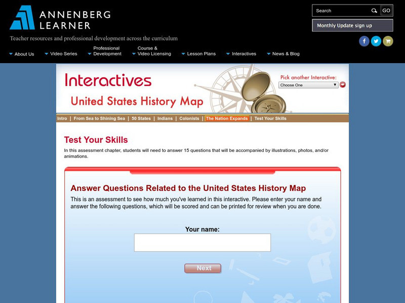
Annenberg Learner: Us History Map Assessment: Test Your Skills
Test how much you know about major U.S geographic features, Indian tribes, states and regions, European colonists and territorial expansion. View your correct and incorrect answers, and print out your assessment.
US Holocaust Memorial Museum
U.s. Holocaust Memorial Museum: Anchluss, March 1938
A map showing the expansion of Germany into Austria in 1938, which resulted in the Anschluss, the unification of Germany and Austria.

