PBS
Pbs Learning Media: 50 States Part 2 Lesson Plan
In this lesson, learners combine psychomotor skills and geography as they travel from Montana to Wyoming. As students travel from state to state, they learn regional facts and state capitals. Learners perform physical tasks highlighting...
PBS
Pbs Learning Media: 50 States Part 1 Lesson Plan
In this lesson, students travel virtually to 25 different states from Alabama to Missouri. While on their journey students explore geography, learn state capitals and interesting facts along the way. Movements are unique and incorporate...
University of Texas at Austin
Ut Library Online: Historical Maps of the United States
This extensive collection of Historical United States maps from the University of Texas Library Online cover early inhabitants, exploration and settlement, territorial growth, military history, and later historical maps. These maps are...
University of Georgia
University of Georgia: Map of Southern u.s. (1806)
A detailed 1806 map of the southern U.S. States and Territories and Spanish Florida showing borders, rivers, mountains and overland trails.
Pew Research Center
Pew Social and Demographic Trends: Migration Flows in the United States
The Pew Hispanic Research Center details the migration flows of the United States. Breaks down U.S. migration patterns from the last 20 years. Scroll mouse over map to see the regional migration throughout the years. View a map which...
Smithsonian Institution
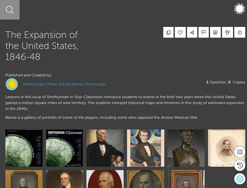
Smithsonian Learning Lab: The Expansion of the United States, 1846 48
This online lesson plan shows young scholars through primary sources how the borders of the U.S. changed in just a few years. They are asked to analyze maps and use map skills. All maps and worksheets are included as well as additional...
US Holocaust Memorial Museum
U.s. Holocaust Memorial Museum: Holocaust History Animated Maps
To fully understand the breadth and scope of the Holocaust, view the following maps of key locations. These maps are in video form with explanations provided. There are also links provided for further research.
NOAA
Noaa: Earth System Research Laboratory: Psd: Interactive Climate Map of u.s.
Investigate climate trends across the United States by clicking on individual states and then specific cities. Data is presented from 1961-1990.
Other
National Atlas of the United States
The National Atlas of the United States provides comprehensive information collected by the Federal Government and delivered through interactive maps. Select from a variety of scientific, societal, and historical information to be...
Harry S. Truman Library and Museum
Harry S. Truman Library & Museum
Everything you wanted to know and more about Harry S. Truman, from biographical information to love letters.
Other
Seterra: The u.s. 50 States Map Quiz Game
Test your knowledge and see if you can locate all fifty states on a map!
ABCya
Ab Cya: Geography Practice: Usa Puzzle Map
Assemble a puzzle of the United States to test your knowledge of its geography.
US Energy Information Administration
U.s. Eia Energy Kids: Nonrenewable Energy Sources
This resource provides information about nonrenewable energy sources. There is specific information about each of these energy sources, and lots of maps, charts, tables, and graphs to further the understanding.
ClassFlow
Class Flow: Learn the States
[Free Registration/Login Required] This flipchart lesson plan challenges students to learn the U.S. state names by identifying them on a map.
US Geological Survey
U.s. Geological Survey: Education: Disease Maps
Disease maps that trace the incidence of West Nile virus, encephalitis and dengue fever across the United States and its territories demonstrate one of the many uses of geography.
University of Oregon
Mapping History Project: Territorial Expansion of the u.s. 1783 1853
Click on the sliding bar and watch how the United States territory grew with the Louisiana Purchase, Florida Acquisitions, Texas Annexation, Oregon Country, and Mexican Cession.
US Geological Survey
U.s. Geological Survey: Teaching About and Using Coordinate Systems [Pdf]
Provides lessons and activities for teaching about the different types of coordinate systems including the Cartesian coordinate system, the Geographic Coordinate System, the Universal Transverse Mercator grid, and the State Plane...
Other
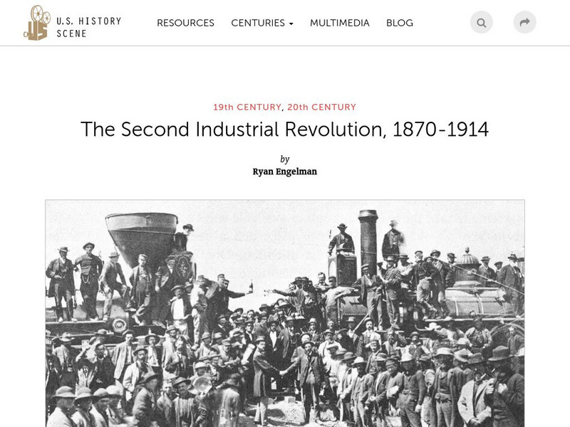
U.s. History Scene: The Second Industrial Revolution, 1870 1914
Between 1820 and 1860, the visual map of the United States was transformed by unprecedented urbanization and rapid territorial expansion, facilitated by the railroad system. These changes mutually fueled the Second Industrial Revolution...
Independence Hall Association
U.s. History: Japanese American Internment
After the Japanese attack on Pearl Harbor, fear of Japanese-Americans irrationally increased, resulting in Roosevelt's executive order that created internment camps for American citizens. Read about the camps, the life in the camps, and...
US Holocaust Memorial Museum
U.s. Holocaust Memorial Museum: German Soviet Pact
Read about the agreement between the Germans and Soviets that contained a secret section that provided for the partition of Poland and other parts of Eastern Europe between the two countries. Includes photographs, a map, and archival...
Independence Hall Association
U.s. History: Independence Hall
Brief history of the "birthplace of the United States", with construction details, and a location map.
ClassFlow
Class Flow: Labeling United States
[Free Registration/Login Required] This flipchart allows the students to use a 50 states map to move the states into their correct position on the map and identify states by their abbreviations. The flipchart is designed to help students...
University of Georgia
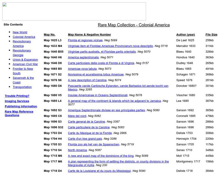
University of Georgia: Rare Map Collection: Colonial America
An extensive collection of original maps drawn during the colonial period of United States history.
Library of Congress
Loc: Primary Sources by State
An interactive map to search for extensive collections of primary sources for each of the United States.


