US Geological Survey
U.s. Geological Survey
The U.S. Geological Survey reports on the latest news affecting the earth today, as well as providing a wealth of data, reports, and information.
US Holocaust Memorial Museum
U.s. Holocaust Memorial Museum: Jewish Parachutists From Palestine
The U.S. Holocaust Memorial Museum features the Jewish Parachutists from Palestine who volunteered to join the British Army. Describes their role in organizing resistance to the Germans and aiding in the rescue of Allied captives....
US Government Publishing Office
Ben's Guide to u.s. Government: Place the States Game
Place the states in the correct place on this map of the United States.
Other
U.s. Genealogy Map Project: u.s. Border/land Claims 1804 1823
A great map and a list of the acquisitions and border changes of the United States from 1804 to 1823. A concise resource showing Western expansion.
Houghton Mifflin Harcourt
Holt, Rinehart and Winston: World Atlas: United States
Features a detailed map of the United States with some basic facts. Click on each state name to get even a more detailed map and information.
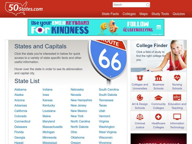
50 States
50 States: States and Capitals
This guide to the 50 U.S. states provides maps, pictures of state symbols, statistical information, and links to many other related sights. Test your knowledge with one of the quizzes or search for one of the fun facts.
Other
Accu weather.com: Precipitation Maps
A comprehensive site of precipitation maps for the entire U.S., regions of the U.S., individual states, and areas around the world. Includes maps showing predicted precipitation, actual precipitation, and accumulated precipitation. It...
Other
The Story of the Us Told in 141 Maps
This collection of United States maps includes a year-by-year. Beginning from the Declaration of Independence and extending to present-day, students will learn explore and interact with these maps that change year-by-year.
University of Texas at Austin
University of Texas: Map of Early Indian Tribes in Eastern u.s.
A map of the land inhabited by Indian tribes in the eastern part of the United States before European settlement. Map shows linguistic stocks as well as culture areas, major, and minor tribes.
National Geographic
National Geographic: Mapping u.s. Watersheds
Students will identify and explore major rivers and watersheds in the United States.
Other
Metrocosm: Here's Everyone Who's Immigrated to the u.s. Since 1820
America is referred to as a "melting pot". View how we attained this label using the following map that shows patterns of immigration from 1820-2013. Included are charts that show the immigration "waves" by country from 1820-2013.
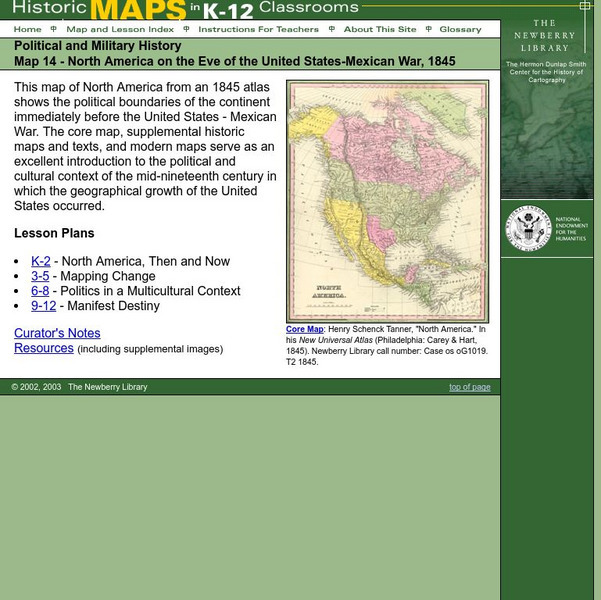
The Newberry Library
Newberry: Political and Military History: Map 14: u.s. Mexican War, 1845
Lessons for students in K-12 depicting North America prior to the United States and Mexico War, 1845. Students explore the mid-century political and cultural context in which the U.S. experienced growth and expansion.
Library of Congress
Loc: Maps of Cities and Towns
Looking for old maps of somewhere in the United States? Check out this huge collection of maps! Search by the name of a city or town, another keyword, subject, title, or geographic location.
US Holocaust Memorial Museum
U.s. Holocaust Memorial Museum: World War Ii in Europe: Animated Maps
The maps on this website show the ebb and flow of Germany's initial domination of Europe, and then the allies' retaking of the territory in WW II. Audio commentary describes the changes from 1939 to 1945.
US Holocaust Memorial Museum
U.s. Holocaust Memorial Museum: Anne Frank
This website gives a short biography of Anne Frank. There are links to maps and photographs.
US Holocaust Memorial Museum
U.s. Holocaust Memorial Museum: Nazi Camps
Extensive site created by the US Holocaust Memorial Museum to explain the people involved with the Nazi concentration/death camps. Learn about who was targeted, and how those who led the camps were ultimately punished. Site provides...
US Holocaust Memorial Museum
U.s. Holocaust Memorial Museum: Auschwitz
On this comprehensive website is the history of Auschwitz. You can click on maps, photographs, personal histories, and film footage.
US Holocaust Memorial Museum
U.s. Holocaust Memorial Museum: Holocaust Encyclopedia
Browsable directory of encyclopedia articles on topics related to the Holocaust, with accompanying rich-media material (photos, maps, historical films, audio clips, etc.) available for particular topics. A full complement of articles is...
US Geological Survey
U.s. Geological Survey: The Usgs and Science Education
"Explore things on, in, around and about the earth," with this web site dedicated to K-12 education from the United States Geological Survey. Homework help, science topics and fun learning games for students in Kindergarten through High...
Other
Google Maps Mashups: u.s. History: u.s. Presidents and Their Spouses
A visual of where the U.S. Presidents spouses are originally from.
Lizard Point Quizzes
Lizard Point: u.s.a.: States Quiz
Test your geography knowledge by taking this interactive quiz over the Unites States of America.
Other
Quiz Hub: u.s. Map Game
Test your knowledge of United States geography by playing this U.S. map game. Game is timed.
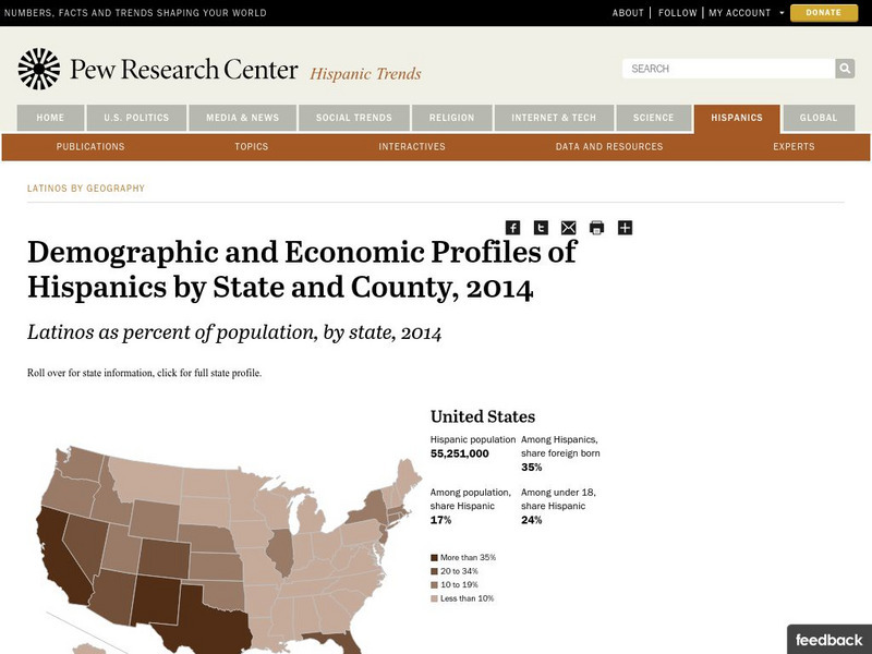
Pew Research Center
Pew Hispanic Center: Interactive Map: Where Latinos Live in the United States
Detailed population maps graphically demonstrate that changing demographics of the Hispanic population in the United States from 1980 to 2007.
Library of Congress
Loc: Map Collections 1500 2002
This collection provides maps dating back to 1500 up to the present. The collection includes: cities, towns, discovery and exploration, conservation and environment, military battles, cultural landscapes, transportation, communication,...


