US Geological Survey
Usgs: u.s. Atlantic Continental Margin Gloria Mapping Program
This site from the U.S. Geological Survey allows you to access detailed images of the continental margin around the United States. There is additional information about the sonar methods used, and a wealth of additional sources listed.
Other
The Story of the Us Told in 141 Maps
This collection of United States maps includes a year-by-year. Beginning from the Declaration of Independence and extending to present-day, students will learn explore and interact with these maps that change year-by-year.
US Holocaust Memorial Museum
U.s. Holocaust Memorial Museum: Anne Frank
This website gives a short biography of Anne Frank. There are links to maps and photographs.
US Holocaust Memorial Museum
U.s. Holocaust Memorial Museum: Nazi Camps
Extensive site created by the US Holocaust Memorial Museum to explain the people involved with the Nazi concentration/death camps. Learn about who was targeted, and how those who led the camps were ultimately punished. Site provides...
US Holocaust Memorial Museum
U.s. Holocaust Memorial Museum: Auschwitz
On this comprehensive website is the history of Auschwitz. You can click on maps, photographs, personal histories, and film footage.
Pew Research Center
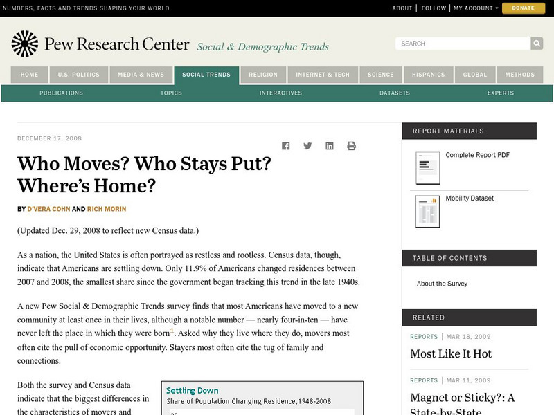
Pew Social and Demographic Trends: Migration Flows in the United States
The Pew Hispanic Research Center details the migration flows of the United States. Breaks down U.S. migration patterns from the last 20 years. Scroll mouse over map to see the regional migration throughout the years. View a map which...
University of Georgia
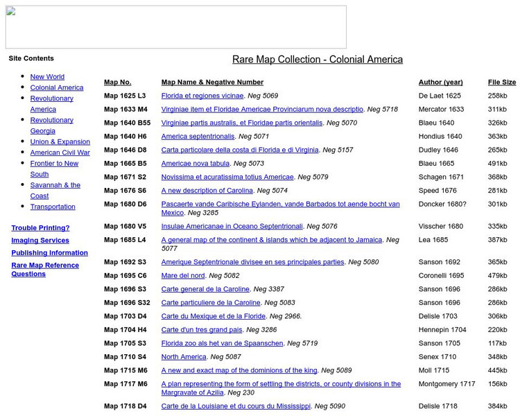
University of Georgia: Rare Map Collection: Colonial America
An extensive collection of original maps drawn during the colonial period of United States history.
National Geographic
National Geographic: Population Density in the United States
Several factors contribute to the population trends across the United States. This lesson will explore maps to discover and understand these trends.
US Department of Energy
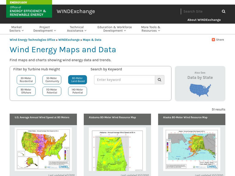
U.s. Department of Energy: Wind Program: Wind Powering America: Maps
An interactive map of the United States that gives information about each state's wind power potential.
Library of Congress
World Digital Library: United States History: Timeline
A collection of primary source materials presented on a timeline that showcase events in the history of the United States from 1625 on. Click on an image to go to a page with descriptive information about each item. Each description has...
Utah Education Network
Uen: Utah History Encyclopedia: Physical Geography of Utah
This resource provides information on the physical geography of the state.
Library of Congress
Loc: Discovery and Exploration
This American Memory site documents the discovery and exploration of the Americas with both manuscripts and published maps, many of which date from the European Age of Discovery. The site includes 22 map titles and descriptions, as well...
Texas State Library and Archives Commission
Texas State Library and Archives Commission: Hard Road to Texas 1836 1845: Lamar and the Rise of Texas Nationalism
The pride Texans feel about their state "can be traced to roots in the Republic of Texas era." Read about this era and the president who wanted Texas to stand alone and not become part of the U.S., and check out a map and other primary...
HotChalk
Hot Chalk: Lesson Plans Page: Edible Geography
Lesson that helps students understand geography of states by creating an edible map of the state, using real food to indicate parts of the state.
Other
Eastern Illinois Univ.: Childhood Lost: Child Labor During Industrial Revolution
A unit on child labor during the Industrial Revolution. The focus is on using primary resources to learn about this issue and this time in American history. Includes many images and documents. The unit is cross-curricular with activities...
US Geological Survey
Usgs: The Himalayas: Two Continents Collide
This site from the U.S. Geological Survey explains how the Himalayas were formed by plate-tectonic forces. Includes a nice map to help visualize the theory.
iCivics
I Civics: Thomas Jefferson Mini Lesson
Thomas Jefferson was the third president of the United States, but he played many political roles throughout our nation's history. His political life influenced the country in many ways, from the founding documents to the shape of our...


