University of Texas at Austin
Perry Castaneda Library Map Collection: u.s. Maps
At this site find any type of map on the U.S. and any of its states here. Great site for teachers to print out maps to use in the classroom.
US Census Bureau
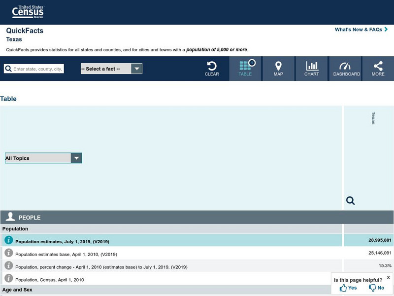
U.s. Census Bureau: State & County Quick Facts: Texas
Facts about the population demographics of Texas, categories of businesses, and basic geography.
US Census Bureau
United States Census Bureau: Quick Facts: Virginia
At this site from the U.S. Census Bureau you can discover facts about Virginia from the results of the census. Quickfacts includes numbers on population, business, and geography.
Library of Congress
Loc: Primary Sources by State
An interactive map to search for extensive collections of primary sources for each of the United States.
Curated OER
Geography
Mr. X of the Letter People has disappeared in one of the 50 U.S. States. You must use your U.S. geography skills to help track him down.
Library of Congress
Loc: Map Collections 1500 2002
This collection provides maps dating back to 1500 up to the present. The collection includes: cities, towns, discovery and exploration, conservation and environment, military battles, cultural landscapes, transportation, communication,...
Curated OER
Mr X
Mr. X of the Letter People has disappeared in one of the 50 U.S. States. You must use your U.S. geography skills to help track him down.
Curated OER
Map
Mr. X of the Letter People has disappeared in one of the 50 U.S. States. You must use your U.S. geography skills to help track him down.


