Curated OER
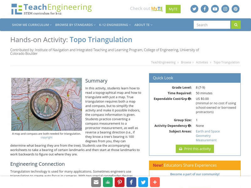
Topo Triangulation
Students investigate how to read a topographical map and triangulate with just a map. They convert a compass measurement to a protractor measurement, reverse a bearing direction, and using a worksheet take a bearing of certain landmarks...
Curated OER
Where Am I: Navigation and Satellites
Students explore the concept of triangulation that is used in navigation satellites and global positioning systems designed by engineers. They determine ways these technologies can help people determine their position or the location of...
Curated OER
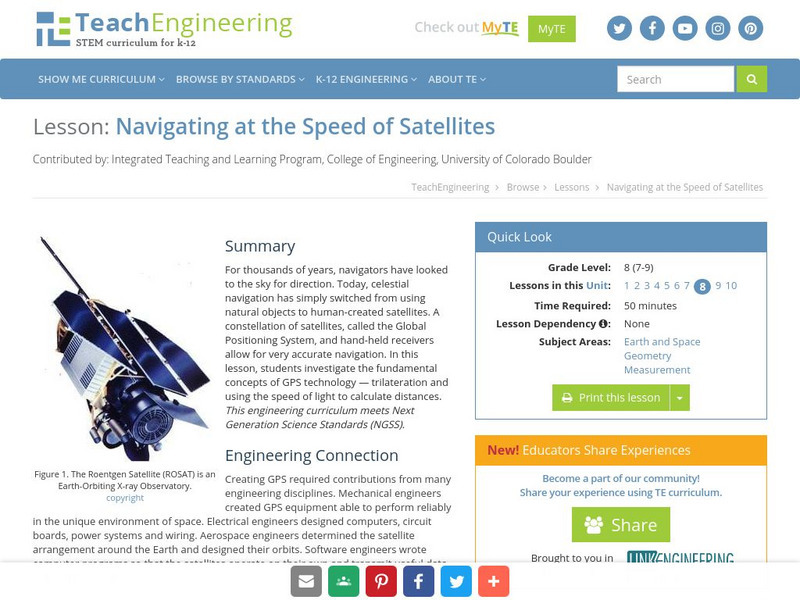
TE Lesson: Navigating at the Speed of Satellites
Learners study the basic concepts of the Global Positioning System and how it increases the accuracy of navigation. They examine trilateration and how the speed of light is used to calculate distances.
Curated OER
Mapping Meteorites
After reading an article, "Cameras Capture a 5-Second Fireball and Its Meteorite's Secrets," space science superstars use the triangulation method to determine the location of a distant object. In-class activities and homework are...
Curated OER
Topos, Compasses, and Triangles, Oh My!
Young scholars triangulate using a compass, topographical (topo) map and a view of outside landmarks. They take a field trip to another location away from school and mark discernible landmarks (like mountains or radio towers) and changes...
Curated OER
Where Am I - Navigation and Satellites
Learners explore geography by completing a navigation activity in class. In this satellite positioning lesson, students define terms such as orbit, satellite, GPS and triangulation. Learners view diagrams of the Earth's orbit and...
Curated OER
Space Science:Wherever You Go, There You Are
Learners explore navigation principles by observing, measuring, and interpreting data to determine locations. Using a compass, compass rose, and a transit, they plot courses and discover the workings of the Global Positioning System...
Curated OER
How High Is That?
Students explore the National Spatial Reference System. For this vertical position lesson, students will discuss the use of vertical position data and solve practical problems involving geographic positioning.
Curated OER
Find It!
Students analyze the basic concept of Global Positioning Systems using triangulation and measurement on a small scale in the classroom. They describe a satellite and how it helps in locating a person on Earth. They explain how...
Curated OER
State Your Position
Students practice using a global positioning system. They discuss the use of celestial objects as navigation points and its problems. They list the advantages and disadvantages of GPS as well.
TeachEngineering
Teach Engineering: Where Am I: Navigation and Satellites
How do we know where we are? In this lesson, students explore the concept of triangulation that is used in navigation satellites and global positioning systems designed by engineers. Also, students learn how these technologies can help...
TeachEngineering
Teach Engineering: Navigating by the Numbers
In this lesson plan, students will learn that math is important in navigation and engineering. Ancient land and sea navigators started with the most basic of navigation equations (Speed x Time = Distance). Today, navigational satellites...
TeachEngineering
Teach Engineering: Navigating at the Speed of Satellites
For thousands of years, navigators have looked to the sky for direction. Today, celestial navigation has simply switched from using natural objects to human-created satellites. A constellation of satellites, called the Global Positioning...
TeachEngineering
Teach Engineering: Topo Triangulation
In this activity, students will learn how to read a topographical map and how to triangulate with just a map. True triangulation requires both a map and compass, but to simplify the activity and make it possible indoors, the compass...
TeachEngineering
Teach Engineering: Find It!
In this activity students will learn the basic concept of Global Positioning Systems (GPS) using triangulation and measurement on a small scale in the classroom. Students discover how GPS and navigation integrate mathematic and...
TeachEngineering
Teach Engineering: Rockets
This unit teaches students how and why engineers design satellites to benefit life on Earth as well as allows students an opportunity to explore motion, rockets and rocket motion. Students discover that the motion of all objects...


