Geographic
Photius: Tajikistan: Economy Index
Here you can find out about the current economic status of Tajikistan (as of 2007) from the CIA World Factbook. Click on the topics to gather the information.
Texas Public Broadcasting
Texas Pbs: Texas Our Texas: Cotton, Cattle, and Railroads 1850 1901
A brief overview of the era of cotton, cattle, and railroads in the late nineteenth century which was a time of huge economic growth for Texas.
Other
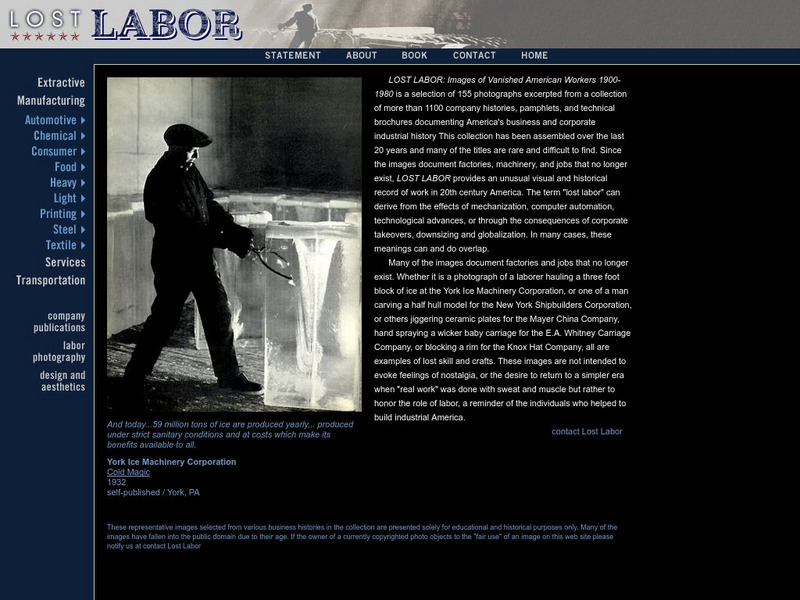
Lost Labor: Images of Vanished American Workers
Lost Labor: Images of Vanished American Workers 1900-1980 is a selection of 155 photographs excerpted from a collection of more than 1,100 company histories, pamphlets, and technical brochures documenting America's business and corporate...
US Department of Labor
Bureau of Labor Statistics: Heavy and Tractor Trailer Truck Drivers
This resource provides occupational information about heavy and tractor-trailer truck drivers.
US Department of Labor
Bureau of Labor Statistics: Train Engineers and Operators
This resource provides information about train engineers and operatiors. Topics covered includes: nature or work, working conditions, employment, training, other qualifications, and advancement, job outlook and earning potential.
Other
Texas Comptroller of Public Accounts: The Energy Report: Coal [Pdf]
Chapter 7 of a report on the energy industry in Texas. It looks at coal, its history, its uses, its economic impact in Texas, consumption, mining, and the transportation of coal. The process of generating electricity from coal is...
Other
Texas Comptroller of Public Accounts: The Energy Report: Hydrogen [Pdf]
Chapter 22 of a report on the energy industry in Texas. It looks at hydrogen as an energy source, its history, and uses. The economic impact of the hydrogen energy sector in Texas is described, the consumption of hydrogen, methods of...
Other
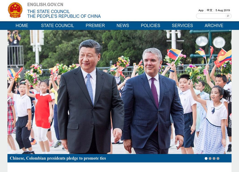
The State Council: The People's Republic of China
Welcome to the official government website of the Central People's Government of The People's Republic of China! This detailed and current site offers facts about a variety of topics including government structure and politics, business,...
TeachEngineering
Teach Engineering: Air Pollution
Students are introduced to the concept of air quality by investigating the composition, properties, atmospheric layers and everyday importance of air. They explore the sources and effects of visible and invisible air pollution. By...
National Academies of Sciences, Engineering, and Medicine
The National Academies: How We Use Energy
The main categories of our energy use - home, work, transportation and industry - are examined to see how much energy we are using and what can be predicted about our use in the furture.
Other
Wuppertal Institute: Towards a Global Energy Transformation [Pdf]
This study analyzes the deepening crisis in the availability of global energy resources and looks at ways to transform how we produce and use energy in order to create a sustainable development model. They state that "Socially just and...
OpenStax
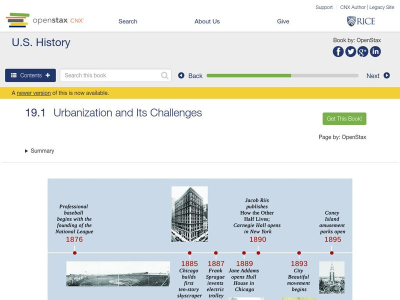
Open Stax: Growing Pains of Urbanization, 1870 1900: Challenges
Learn about some of the problems created by urbanization and some potential solutions to them.
Central Intelligence Agency
Cia: World Factbook: Bosnia and Herzegovina
This resource from the CIA World Factbook provides an overview of the government and economy of Bosnia and Herzegovina. This resource requires Java.
Rock and Roll Hall of Fame
Rock & Roll Hall of Fame: Sti Lesson 15: The Changing American Landscape
The rise of American cities between 1865 and 1900 was spawned by the industrial revolution. Technological advancements in industry and transportation fathered the enormous growth of large cities across the United States. This led to the...
Other
Kingdom of Belgium: Focus on Belgium
General information about Belgium such as its society, people, history, economics, industry, transportation, and the monarchy.
Independence Hall Association
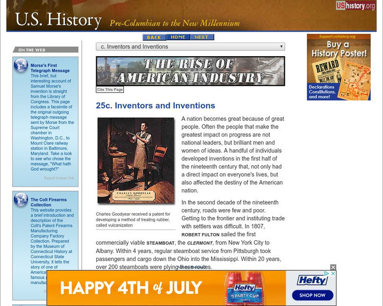
U.s. History: Inventors and Inventions
The industrial revolution in America spawned the inventions of many inventors, who improved technology in many different areas. See how transportation, agriculture, and communications were transformed because of these inventions.
Other
New York Public Library: Small Town America
This site provides pictures to help you understand the way of life during the turn of the twentieth century. Enter the collection and click on "Browse" for a drop down menu of collections of photographs of "street scenes in cities,...
Other
Encyclopedia and Guide to Manchester: The Bridgewater Canal
A history of the Bridgewater Canal built in 1760 and which was "the forerunner of all modern canals". The canal connected coal mines found in Worsley with Manchester England. By clicking on the names you will get biographical details.
Enchanted Learning
Enchanted Learning: Zoom Inventors and Inventions
This site has an alphabetized list of inventions and inventors throughout history. You can also explore by era, topic or nationality.
Virginia Historical Society
Virginia Museum of History and Culture: Teaching With Photographs
"Teaching with Photographs" includes images from the Virginia Historical Society's collection. The images are organized into several themes which allows this source to be used by younger and older grades. Resources for teachers are...
Latimer Clarke Corporation
Atlapedia Online: Israel
If you're doing a research paper on Israel, this is a great place to begin. Has information about the history, people, geography, climate, economy, and more. Click on the map image to get more details and an enlarged view.
Latimer Clarke Corporation
Atlapedia Online: North Korea
If you're doing a research paper on North Korea, this is a great place to begin. Has information about the history, people, geography, climate, economy, and more. Click on the map image to get more details and an enlarged view.
Latimer Clarke Corporation
Atlapedia Online: Argentina
If you're doing a research paper on Argentina, this is a great place to begin. Has information about the history, people, geography, climate, economy, and more. Click on the map image to get more details and an enlarged view.
Latimer Clarke Corporation
Atlapedia Online: Chile
If you're doing a research paper on Chile, this is a great place to begin. Has information about the history, people, geography, climate, economy, and more. Click on the map image to get more details and an enlarged view.



![Texas Comptroller of Public Accounts: The Energy Report: Coal [Pdf] eBook Texas Comptroller of Public Accounts: The Energy Report: Coal [Pdf] eBook](https://static.lp.lexp.cloud/images/attachment_defaults/resource/large/FPO-knovation.png)
