Curated OER
Etc: Maps Etc: Topography of Nineveh and Vicinity, 1881
"Nineveh, or Ninus, a very ancient and famous city, the cap.
Curated OER
Etc: Maps Etc: Great Plains and Front Ranges, 1911
A contour map of the boundaries of the Great Plains and Lewis front ranges of western Montana, showing the abrupt change in the topography. The heavy black line indicates the outcrop of the Lewis thrust plane.
PBS
Pbs: The Living Edens: Borneo: From Caves to Kinabalu
View pictures, read text, and listen to information about the topography, flora, and fauna of Borneo, the world's third largest island.
Cornell Lab of Ornithology
Cornell Lab of Ornithology: Feather Structure
This site provides a detailed explanation of the structure of bird feathers. Topics include feather topography, types of feathers, and feathers and flight.
Country Studies US
Country Studies: Cambodia: Rivers
Read this discussion of the rivers in Cambodia from this Country Studies report. Find out sources and mouths of the major rivers.
Johns Hopkins University
The Johns Hopkins University: Montana State Maps
At this site from The Johns Hopkins University Applied Physics Laboratory, you can learn more about the topography of Montana through this informative website. These maps are extremely detailed.
US Navy
Habitats: Beaches Characteristics
This resource presents an overview of beach structure. This article briefly covers beach features such as spits, tombolos and barrier islands.
Lonely Planet
Lonely Planet: Ukraine
This site gives a description of the environment of the Ukraine. Read about landforms, vegetation, animal life, and climate. Also read about the history and demographics of Ukraine.
Science Education Resource Center at Carleton College
Serc: Investigating Contour Maps: Creating Contour Maps by Surveying
In this activity, the students will understand how contour maps are created and appear the way that they do by using various materials to create and compare contour lines of different elevation levels.
University of St. Andrews (UK)
University of St. Andrews: Mac Tutor History of Mathematics Archive
The University of St. Andrews, Scotland, presents hundreds of biographies of famous mathematicians, histories of math in various cultures, and interesting facts on the development of important math concepts. This is a huge reference....
University of Texas at Austin
Ut Library: Perry Castaneda Maps of Massachusetts
A collection of current and historic maps of Massachusetts, along with maps of cities and national parks in the state.
Ohio History Central
Ohio History Central: Shaping the Land
This site contains maps and other information about the Ohio's topography. Great details about how glaciers played a key role in the formation of Ohio's land, the natural resources left behind, and the natural regions and their differences.
Other
Jules Verne Voyager: Earth
A map resource that allows users to view many different features of the topography, textures, and geodetic data on selections in the drop down menus.
Other
Jules Verne Voyager Jr.: Earth
A map program allows users to explore the many features of Earth. Select base maps, features, and velocities.
Science Education Resource Center at Carleton College
Serc: Sandbox Modeling
Students create landforms using layers of colored sand, then construct a topographic map and a cross-section. This is an investigation that was presented to pre-service science teachers. The format would be similar with students, with...
NASA
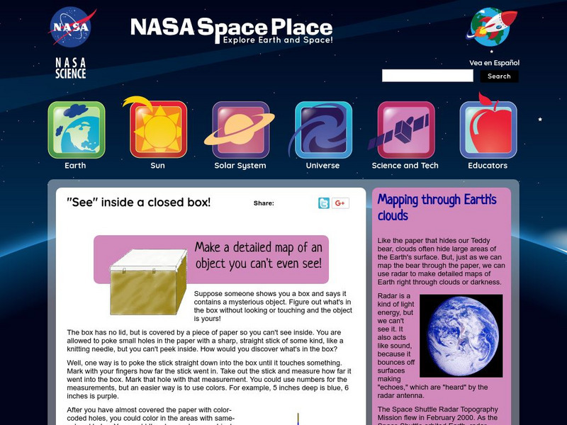
Nasa: Probing Earth Through the Clouds
This site from the National Aeornautics and Space Administration provides a fun activity for the subject. "Clouds often hide large areas of the Earth's surface. We can use radar to make detailed maps of Earth right through clouds or...
CK-12 Foundation
Ck 12: Earth Science: Elevation on the Earth
[Free Registration/Login may be required to access all resource tools.] Using latitude and longitude to find a location.
Incorporated Research Institutions for Seismology
Iris: Watch Earthquakes as They Occur
This fact sheet provides an introduction to an interactive display of global seismicity that allows users to monitor earthquakes in near real-time, view records of ground motion, learn about earthquakes, and visit seismic stations around...
Other
Unavco: Earth Scope
This interactive map program illustrates global-scale geodynamic processes of Earth. View and add base maps, features and velocities which can be selected in the drop down menus.
Science Education Resource Center at Carleton College
Serc: The Science of Puddles
Students will look at their schoolyard and determine where a puddle will form after a heavy rain. They will map the school yard and draw chalk lines to demonstrate their predictions. After a rain children will check their predictions and...
NASA
Nasa: Space Place: Make a Topographic Map
Find out what topographic maps are and how to make them. The instructions are complete with pictures to help you construct a mountain of clay and and a corresponding topographic map.
Curated OER
Caption Below
A few maps and some good text on the topography and its importance during both the American Revolution and the French and Indian War.
Curated OER
Caption Below
A few maps and some good text on the topography and its importance during both the American Revolution and the French and Indian War.
Curated OER
Caption Below
A few maps and some good text on the topography and its importance during both the American Revolution and the French and Indian War.


