American Geosciences Institute
American Geosciences Institute: Earth Science Week: Predict the Flow
Using a common modeling compound, learners form a "volcano" and examine its topography to predict which way lava will flow down its slopes.
Curated OER
Educational Technology Clearinghouse: Maps Etc: Mexico City and Vicinity, 1580
A facsimile of a map by Saverio Clavigero (1780) of Tenochtitlan (Mexico City) and vicinity around the time of the Spanish conquest in 1519. This map, according to William H. Prescott (History of the Conquest of Mexico, 1876), defies...
Geographic
Photius: Bahrain Geography and Population
Read about Bahrain's topography. Made up of several islands, you can find out how the country is connected by causeways from one island to the next.
Alabama Learning Exchange
Alex: Let Them Eat Cake! Topography Lesson
Contour lines on topographic maps require visual processing to read and interpret. This hands-on activity helps give a tasty mental image.
Curated OER
National Park Service: Grand Canyon Parashant National Monument
A look at the Grand Canyon-Parashant National Monument in northern Arizona. The local topography and vegetation combine to provide a remoteness from the busy world and a place of beautiful solitude. Photos enable one to learn about the...
Encyclopedia of Earth
Encyclopedia of Earth: Antarctica
Facts about the location, human geography, physical geography, climate, geology, and topography of Antarctica.
Smithsonian Institution
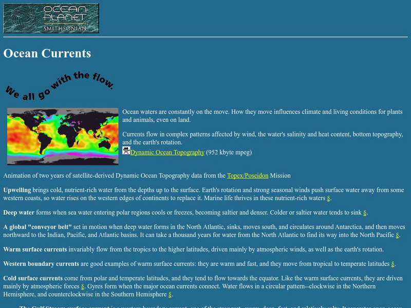
National Museum of Natural History: Ocean Planet: Ocean Currents
The Ocean Planet exhibit at the Smithsonian explains the general features of ocean circulation. A general look at upwelling, deep water, and currents are combined for an overall view.
University of Texas at Austin
Ut Library: Perry Castaneda Maps of Connecticut
Includes two maps of the state as well as several topographic maps of cities in Connecticut and one historic map of New Haven in 1920.
CBS
Cbs News: Rebuilding Afghanistan
Explore this interactive presentation and learn about Afghanistan's geography, history and people and what is being done to rebuild this country. (2004)
Geographypods
Geographypods: Map Skills
A collection of highly engaging learning modules on various topics within mapping skills. Covers map symbols, how to use four- and six-figure grid references, cardinal directions, distance, contour mapping, and drawing cross-sections....
University of Texas at Austin
Ut Library: Perry Castaneda Maps of New York
A collection of maps of the state of New York, including links to city maps, historical city maps, and maps of National Parks, Monuments, and historical places.
NASA
Nasa: Oceanography
Join NASA in its study of oceanography and learn about the Earth system, the physical ocean, and life in the ocean. Try out the Giovanni: Earth Data Visualization Tool and access satellite-derived data to enhance the learning experience.
University of Texas at Austin
Ut Library: Perry Castaneda Maps of Ohio
A collection of state, city and historical maps of Ohio. Also includes maps of national parks and monuments in the state.
NOAA
Noaa: Ngdc: Images, Visualizing Data
The National Geophysical Data Center has transformed extensive ocean research into colorful video, 3D maps, charts posters and more! This site starts off with a film clip of a dive into the Marianas trench and then lead you to other...
University of Texas at Austin
Ut Library: Perry Castaneda Maps of Alabama
Here you will find state and city maps (including outline and topographical maps) of Alabama. Also includes historical maps and maps of Alabama's National Parks.
Science Education Resource Center at Carleton College
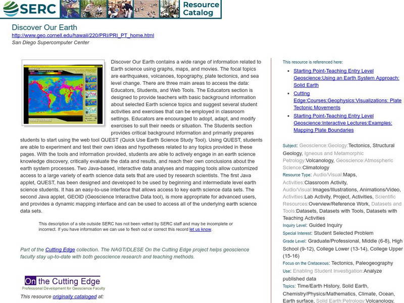
Serc: Discover Our Earth
Study earthquakes, volcanoes, topography, plate tectonics, and sea level change using graphs, maps, and movies. Engage in earth science knowledge discovery, critically evaluate the data and results, and reach conclusions about the earth...
Other
Photo.net: Costa Rica: The Land
A geographic and topographical exploration of Costa Rica which covers all of the regions of the country.
US Geological Survey
U.s. Geological Survey
The U.S. Geological Survey reports on the latest news affecting the earth today, as well as providing a wealth of data, reports, and information.
Country Studies US
Country Studies: Afghanistan: Mountains
An interesting discussion of the mountain ranges in Afghanistan. There is information about the meanings of the names, the various roads and passes through the mountains, and some mention of vegetation in the mountains. From Library of...
US Geological Survey
United States Geological Survey: Topographic Maps
"Note: The information on this page is being retained for technical and historical reference only. The site is not under active maintenance and may include expired information and outdated links." This site gives an overview of the...
Texas A&M University
Ocean World: Bringing the Ocean to the Classroom
Online resource for students and teachers to see information on icebergs, fisheries, coral reefs, waves, currents and more. Provides teachers with learning activities. Has its own ask-an-expert site (Ask Dr. Bob), and provides real-time...
Curated OER
Etc: N America Illustrating the Conquest of Canada and War of Indep, 1757 1783
A map of eastern North America illustrating the Conquest of Canada and the War of Independence (1757-1783). The map shows major cities of the time, major river ways, topography and political boundaries. The map is color-coded to show the...
Science Education Resource Center at Carleton College
Serc: Exploring Air Quality in Aura No2 Data
This activity illustrates how data can be imported into Google Earth for visualization and interpretation. Students are introduced to air quality as it relates to population density and topography.
Alberta Online Encyclopedia
Alberta Online Encyclopedia: The Boreal Forest
The Boreal Forest region of Alberta, Canada is featured in this effective site. The topography and types of trees found in this area are identified. A brief portion of this site is devoted to the impact of forest fires on flora and fauna...


