Hi, what do you want to do?
Library of Congress
Loc: American Revolution and Its Era: Maps & Charts
A few maps and some good text on the topography and its importance during both the American Revolution and the French and Indian War.
Curated OER
University of Texas: Afghanistan: Topography
A 1986 topographical map of Afghanistan from the Perry-Castaneda Collection. You can clearly see the mountain ranges, valleys, and passes that make up this mountainous country.
Other
Jules Verne Voyager: Earth
A map resource that allows users to view many different features of the topography, textures, and geodetic data on selections in the drop down menus.
Other
Usgs: The National Map: Us Topographical Map
Use this map to explore the topography of the United States.
Curated OER
Etc: Maps Etc: Topography of Nineveh and Vicinity, 1881
"Nineveh, or Ninus, a very ancient and famous city, the cap.
Curated OER
University of Texas: Turkmenistan Shaded Relief Map
This relief map of Turkmenistan from the Perry Castaneda collection shows the topography of the country along with its bodies of water.
Curated OER
Caption Below
A few maps and some good text on the topography and its importance during both the American Revolution and the French and Indian War.
Curated OER
Caption Below
A few maps and some good text on the topography and its importance during both the American Revolution and the French and Indian War.
Curated OER
Caption Below
A few maps and some good text on the topography and its importance during both the American Revolution and the French and Indian War.
Curated OER
Caption Below
A few maps and some good text on the topography and its importance during both the American Revolution and the French and Indian War.
Curated OER
Caption Below
A few maps and some good text on the topography and its importance during both the American Revolution and the French and Indian War.
Northwestern University
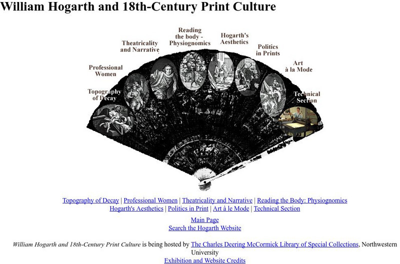
Northwestern University Library: Hogarth and Eighteenth Century Print Culture
Browse this large collection of Hogarth's prints to find examples of all of his favorite subjects, including eighteenth-century views of London.
NOAA
Noaa: Ngdc: Images, Visualizing Data
The National Geophysical Data Center has transformed extensive ocean research into colorful video, 3D maps, charts posters and more! This site starts off with a film clip of a dive into the Marianas trench and then lead you to other...
University of Texas at Austin
Ut Library: Perry Castaneda Maps of New York
A collection of maps of the state of New York, including links to city maps, historical city maps, and maps of National Parks, Monuments, and historical places.
University of Texas at Austin
Ut Library: Perry Castaneda Maps of Connecticut
Includes two maps of the state as well as several topographic maps of cities in Connecticut and one historic map of New Haven in 1920.
University of Texas at Austin
Ut Library: Perry Castaneda Maps of Ohio
A collection of state, city and historical maps of Ohio. Also includes maps of national parks and monuments in the state.
University of Texas at Austin
Ut Library: Perry Castaneda Maps of Alabama
Here you will find state and city maps (including outline and topographical maps) of Alabama. Also includes historical maps and maps of Alabama's National Parks.
Library of Congress
Loc: Conservation and Environment
Understand the historic and recent use of land in various areas in the United States based on the maps on this site. "These maps show the changes in the landscape, including natural and man-made features, recreational and wilderness...
Natural History Museum
Natural History Museum: The Art of the First Fleet
A fascinating look at art showing the environment and wildlife that was done by artists who were in the First Fleet, the first group of settlers to come to Australia in 1787. The artworks have been arranged under four categories: Natural...
Natural History Museum
Natural History Museum (London): The Art of the First Fleet
A fascinating look at art showing the environment and wildlife that was done by artists who were in the First Fleet, the first group of settlers to come to Australia in 1787. The artworks have been arranged under four categories: Natural...
University of Texas at Austin
Ut Library: Perry Castaneda Maps of Massachusetts
A collection of current and historic maps of Massachusetts, along with maps of cities and national parks in the state.
Curated OER
Sierra Summit Contour Map (Railroad in Red)
An extraordinarily rich collection of photos, stereographs, engravings, maps, and documents. Many 19th century accounts of building and traveling on the railroad, plus travel guides and government documents.
Other
Jules Verne Voyager Jr.: Earth
A map program allows users to explore the many features of Earth. Select base maps, features, and velocities.
Other
Unavco: Earth Scope
This interactive map program illustrates global-scale geodynamic processes of Earth. View and add base maps, features and velocities which can be selected in the drop down menus.
Other popular searches
- Ocean Topography
- Map Key Topography
- Topography Maps
- Sea Floor Topography
- Contour Map Exercise
- Contour Maps Topography
- Bottom Topography
- Costa Rican Topography
- Aluminum Foil Contour Map
- Topography and Contour Map
- Map Topography
- Contour Map Face


