Siteseen
Siteseen: Land of the Brave: Battle of Camden
Learn about this Revolutionary War battle that took place August 16, 1780, between Great Britain and its thirteen colonies in North America that ended in victory for the British.
Siteseen
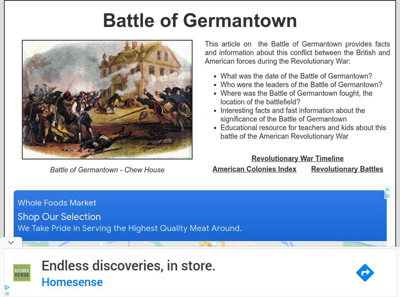
Siteseen: Land of the Brave: Battle of Germantown
Learn about the Battle of Germantown, the October 04, 1777, Revolutionary War battle between Great Britain and its thirteen colonies in North America that ended in victory for the British.
Siteseen
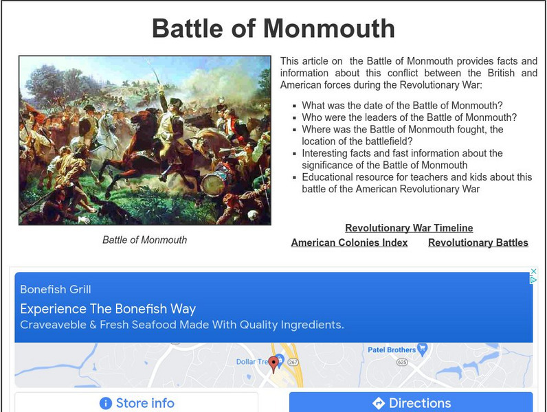
Siteseen: Land of the Brave: Battle of Monmouth
Learn about this Revolutionary War battle that took place June 28, 1778, between Great Britain and its thirteen colonies in North America that ended in a long-term victory for the British.
Siteseen
Siteseen: Land of the Brave: Battle of Bunker Hill
Learn about this Revolutionary War battle that took place June 17, 1775, between Great Britain and its thirteen colonies in North America that ended in a victory for the British.
Siteseen
Siteseen: Land of the Brave: Battle of Yorktown
Learn about this Revolutionary War battle that took place October 19, 1781, between Great Britain and its thirteen colonies in North America that ended in a victory for the American colonists and also ended the American Revolutionary War.
Siteseen
Siteseen: Land of the Brave: Battle of Concord
Learn about this Revolutionary War battle that took place April 19, 1775, between Great Britain and its thirteen colonies in North America that ended in a victory for the American colonists.
Siteseen
Siteseen: Land of the Brave: Battle of Princeton
Learn about this Revolutionary War battle that took place January 03, 1777, between Great Britain and its thirteen colonies in North America that ended in a victory for the American colonists.
Siteseen
Siteseen: Land of the Brave: Battle of Fort Ticonderoga
Learn about this Revolutionary War battle that took place May 10, 1775, between Great Britain and its thirteen colonies in North America that ended in a victory for the American colonists.
Siteseen
Siteseen: Land of the Brave: Battle of Oriskany
Learn about this Revolutionary War battle that took place August 06, 1777, between Great Britain and its thirteen colonies in North America that ended in a victory for the British.
Siteseen
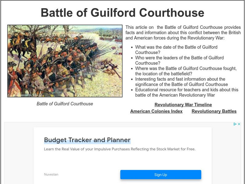
Siteseen: Land of the Brave: Battle of Guilford Courthouse
Learn about this Revolutionary War battle that took place March 15, 1781, between Great Britain and its thirteen colonies in North America that ended in a victory for the British.
Siteseen
Siteseen: Land of the Brave: Battle of King's Mountain
Learn about this Revolutionary War battle that took place October 07, 1780, between Great Britain and its thirteen colonies in North America that ended in a victory for the American colonists.
Siteseen
Siteseen: Land of the Brave: Triangular Trade
Article on triangular trade in Colonial America explores routes (England to Africa to the Americas and back to England), the exchange of goods, and Slave Trade. A chart shows the goods traded by the Thirteen Colonies.
Books in the Classroom
Carol Hurst's Children's Literature Site: Colonial America
A detailed resource of recommended children's books on Colonial America, including discussion and research starters, teaching activities, and title suggestions.
History Teacher
Historyteacher.net: Early Discovery & Settlement: Quiz (5)
Choose the correct word from the drop down menu for each of the nineteen questions to determine your proficiency of early Colonial America.
History Teacher
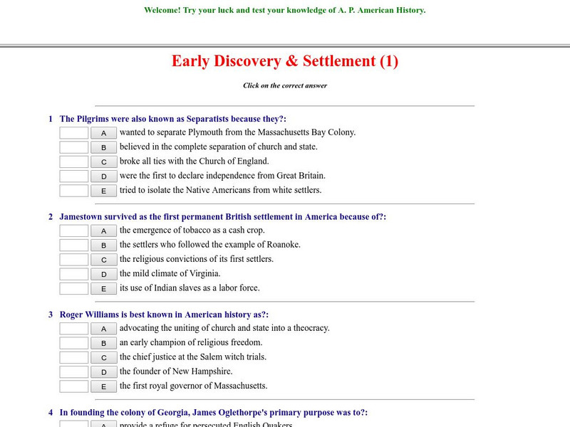
Historyteacher.net: Early Discovery & Settlement: Quiz (1)
Ten multiple choice question quiz is immediately scored and covers early settlement of Colonial America.
Library of Congress
Loc: America's Story: Colonial America
This resource provides a brief overview of Colonial America.
History Teacher
Historyteacher.net: America and the British Empire (2)
Take this 10 question quiz on America and the British Empire.
ClassFlow
Class Flow: How Landforms Affect Settlers' Choices
[Free Registration/Login Required] This flipchart has students engage in a research project looking at how geographical features affected the colonists' settling of the New World. Web links to aid the research process are included. An...
Curated OER
Etc: Territorial Development of the United States, 1783 1889
A map from 1889 of North America showing the expansion in the region of the United States from the original Thirteen Colonies at the end of the Revolutionary War in 1783 to the time the map was made, around 1889, before the territories...
Curated OER
Educational Technology Clearinghouse: Maps Etc: Eastern North America, 1812
A map of eastern North America in 1812 subtitled 'The War of Independence and the War of 1812-1814.’ The map is color-coded to show the territories of the original thirteen colonies, the territory to the west that was ceded to the...
Curated OER
Educational Technology Clearinghouse: Clip Art Etc: George Iii, King of England
George III (1760-1815). The first two Hanoverian kings were ignorant of English politics and obliged to rely on their ministers. Moreover, they cared more for Hanover than for England. But George II had English ideas. He was born and...
Curated OER
Educational Technology Clearinghouse: Maps Etc: Rhode Island, 1898
A map from 1898 of Rhode Island, "One of the thirteen original States and smallest in the Union; supposed temporary settlement of Icelanders as early as 1000. Settled by Roger Williams at Providence 1636. Island of Aquidneck (Rhode...
Curated OER
Etc: Maps Etc: Second Continental Congress, 1775
A map of the thirteen colonies during the Second Continental Congress held in Philadelphia in 1775, showing the number of delegates from each of the colonies.
Curated OER
Etc: Maps Etc: Accessions to the Principal of Independence, 1776
A map of the Thirteen Colonies color-coded to show the accessions to the principal of Independence before July 2, 1776. The map shows when the colonial delegates to the Continental Congress were instructed to vote on the Declaration of...
Other popular searches
- Thirteen Colonies Activities
- Thirteen Colonies Map
- Map of Thirteen Colonies
- The Thirteen Colonies
- Thirteen Colonies Unit
- Quiz on Thirteen Colonies
- Blank Thirteen Colonies Map
- Making Thirteen Colonies
- Thirteen Colonies Map Making
- Thirteen Colonies Religion
- Thirteen Colonies Map Skills
- Thirteen Colonies Gis Lesson

