Hi, what do you want to do?
Curated OER
Educational Technology Clearinghouse: Maps Etc: The United States, 1910
A map from 1910 of the United States showing general elevations, water depths, watershed boundaries, and terrain features, including the Pacific Slope, Great Basin, Colorado Plateau, Cordilleran Highlands, Rocky Mountains, Great Central...
Curated OER
Etc: Maps Etc: Physical Features of the United States, 1898
A map from 1898 of the United States showing general elevations, water depths, and terrain features, including the Pacific Slope, Great Basin, Rocky Mountain Plateau, Great Plains, Mississippi Valley, Gulf Plain, Appalachian Highlands,...
Smithsonian Institution
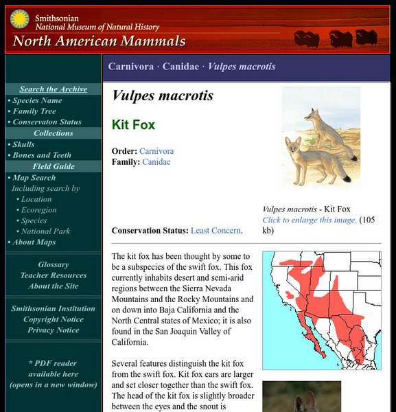
National Museum of Natural History: American Mammals: Kit Fox
The kit fox has been thought by some to be a subspecies of the swift fox. This fox currently inhabits desert and semi-arid regions between the Sierra Nevada Mountains and the Rocky Mountains and on down into Baja California and the North...
Canadian Museum of Nature
Canadian Museum of Nature: Bighorn Sheep
Bighorn sheep can be found in the Canadian Rockies and in some parts of the United States and Mexico. Read some fascinating facts about these unique creatures. Pictures can also be found here.
Curated OER
Educational Technology Clearinghouse: Maps Etc: Colorado, 1906
A map from 1906 of Colorado showing the State capital of Denver, major cities and towns, railroads, the Rockies and other mountain systems, lakes, and rivers.
Curated OER
Educational Technology Clearinghouse: Maps Etc: Colorado, 1909
A map from 1909 of Colorado showing the State capital of Denver, major cities and towns, railroads, the Rockies and other mountain systems, lakes, and rivers.
Curated OER
Educational Technology Clearinghouse: Maps Etc: Colorado, 1919
A map from 1919 of Colorado showing the State capital of Denver, major cities and towns, railroads, the Rockies and other mountain systems, lakes, and rivers.
Curated OER
Educational Technology Clearinghouse: Maps Etc: Colorado, 1902
A map from 1902 of Colorado showing the State capital of Denver, counties, major cities and towns, railroads, the Rockies and other mountain systems, lakes, and rivers.
Curated OER
Educational Technology Clearinghouse: Maps Etc: Colorado, 1920
A map from 1920 of Colorado showing the State capital of Denver, counties and county seats, major cities and towns, railroads, the Rockies and other mountain systems, lakes, and rivers.
Curated OER
Educational Technology Clearinghouse: Maps Etc: Colorado, 1920
A map from 1920 of Colorado showing the State capital of Denver, counties and county seats, major cities and towns, railroads, the Rockies and other mountain systems, lakes, and rivers.
Curated OER
Educational Technology Clearinghouse: Maps Etc: Colorado, 1911
A map from 1911 of Colorado showing the State capital of Denver, counties and county seats, major cities and towns, railroads, the Rockies and other mountain systems, lakes, and rivers. A grid reference in the margins of the map lists...
Curated OER
Educational Technology Clearinghouse: Maps Etc: Colorado, 1920
A map from 1920 of Colorado showing the State capital of Denver, counties and county seats, major cities and towns, railroads, the Rockies and other mountain systems, lakes, and rivers. A grid reference in the margins of the map lists...
Curated OER
Educational Technology Clearinghouse: Maps Etc: Colorado, 1914
A map from 1914 of Colorado showing the State capital of Denver, counties and county seats, major cities and towns, railroads, the Rockies and other mountain systems, lakes, and rivers. A grid reference in the left margin of the map...


