Hi, what do you want to do?
Curated OER
Etc: Territorial Development of the United States, 1783 1889
A map from 1889 of North America showing the expansion in the region of the United States from the original Thirteen Colonies at the end of the Revolutionary War in 1783 to the time the map was made, around 1889, before the territories...
Yale University
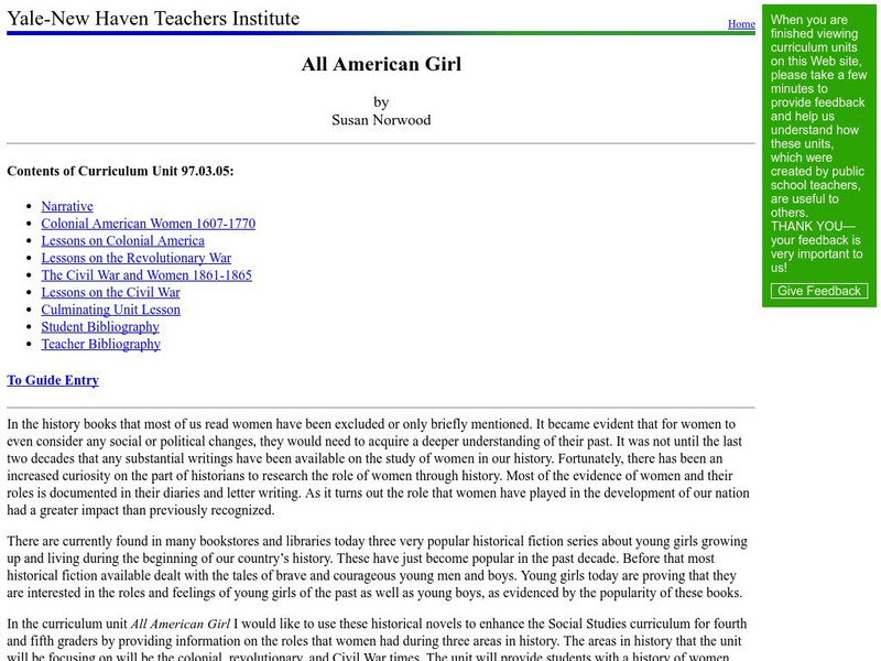
Yale New Haven Teachers Institute: All American Girl
This lesson plan on Abigail Adams, Phillis Wheatley and other women writers is designed to "enhance the Social Studies curriculum for fourth and fifth graders by providing information on the roles that women had during three areas in...
US National Archives
National Archives: To Sign or Not to Sign
Use this lesson in the middle of a Revolutionary War unit. Students will analyze sections of the Declaration of Independence to answer critical thinking questions. Upon completion of the unit, students will reevaluate their responses to...
University of Groningen
American History: Outlines: Building Unity
Outline of the U.S. and the quest for unity in the early 1800s. Article briefly chronicles events such as the War of 1812 as well as political and economic decisions that created a united America separate from Britain.
Other
History View: Uss Yorktown Cv 10
Take a virtual trip to see the USS Yorktown, one of 24 Essex-class aircraft carriers built during World War II for the United States Navy. She is named after the Battle of Yorktown of the American Revolutionary War and is the fourth U.S....
National Endowment for the Humanities
Neh: Edsit Ement: What Made George Washington a Good Military Leader?
In this Curriculum Unit, students will consider "What Made George Washington a Good Military Leader?" in 4 Lessons. The unit also includes worksheets and other student materials that can be found under the resource tab.
Schools of California Online Resources for Education
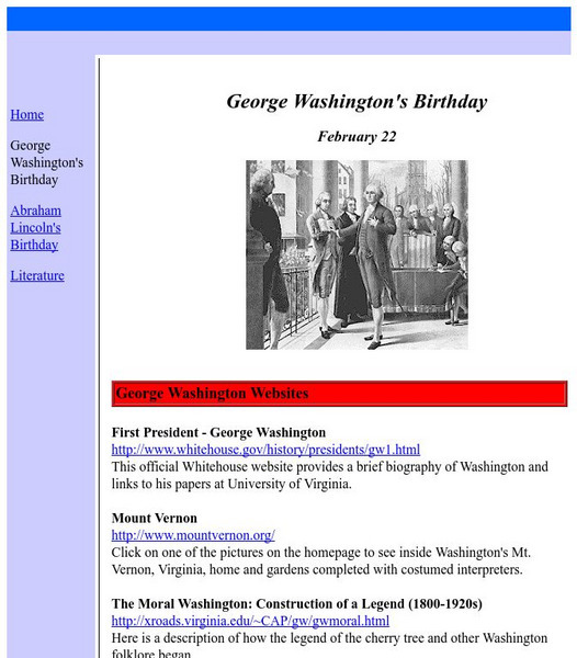
Score: George Washington's Birthday
Students use this resource to find a collection of information concerning the first President of the United States.
Digital History
Digital History: Alexander Hamilton's Financial Program
Young Alexander Hamilton was the first Secretary of the Treasury. Read about his ideas for reducing the huge national debt, and see how his views of the nation and national government were so different from Thomas Jefferson's.
Curated OER
Etc: Development of the Northwest Territory in Us, 1790 1810
A map of the American Northwest Territory showing the boundary developments in 1790, 1800, and 1810. The upper left map shows the territory acquired by the United States from Britain after the Revolutionary War as established by the...
Curated OER
Etc: Territorial Growth of the United States, 1783 1853
A map from 1914 of the United States showing its acquisition of territory from the original states and Northwest Territory after the American Revolutionary War in 1783 to the Gadsden Purchase in 1853. The dates for each acquisition are...
Curated OER
Etc: How the United States Obtained Its Territory, 1783 1853
A map of the United States showing its acquisition of territory from the original states and Northwest Territory after the American Revolutionary War in 1783 to the Gadsden Purchase in 1853.
Curated OER
Etc: Maps Etc: The United States at the Close of the Revolution, 1783
A map of the United States at the close of the American Revolutionary War (1783) showing the newly formed States, and their claims to the lands west of the Allegheny Mountains to the Mississippi River. The map notes that the territory...
Curated OER
Etc: Original Territory of the United States, 1783 1790
A map of the United States showing the territorial growth from 1783 to 1790. The map is color-coded to show the original territory after the American Revolutionary War, the Northwest Territory north of the Ohio River in 1787, the...
Curated OER
Etc: Maps Etc: The Territory of the Thirteen Original States, 1783
A map of the United States at the close of the American Revolutionary War (1783) showing the newly formed States, and their claims to the lands west of the Allegheny Mountains to the Mississippi River.
Curated OER
Etc: Maps Etc: Admission of States to the Union, 1899
A map from 1899 of the United States showing the growth of the nation from the original States in 1783 to the admission of Utah into the Union in 1896. The map shows the Northwest Territory claimed at the end of the American...
Curated OER
Educational Technology Clearinghouse: Maps Etc: Austrian Netherlands, 1792
A map of the Austrian Netherlands in 1792 at the onset of the French Revolutionary Wars. The map is color-coded to show the territories under Austrian possession, the Ecclesiastical States of the Holy Roman Empire, the United...
BBC
Bbc: Colombia's Civil Conflict
This comprehensive profile of Colombia's Civil Conflict examines the conflict's causes, its ramifications on the country, and its implications for Colombia's relationship with the United States. Links to related audio and video are...
Other
Amnesty International: Colombia
This site provides a concise overview of human rights issues in Colombia as well as links to news releases and reports concerning the country.
Wikimedia
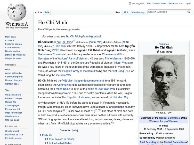
Wikipedia: Ho Chi Minh
This site from Wikipedia provides a biography of the North Vietnamese leader Ho Chi Minh. Focuses primarily on his political life. Ho Chi Minh led the independence movement in North Vietnam.
The Guardian
Guardian: Colombia's Halting Progress on Human Rights
Guardian correspondent Kimberly Stanton discusses human rights abuses occurring in Colombia and the attempts of Colombian President Juan Manuel Santos to distance himself and his government from them. (June 5, 2011)
Smithsonian Institution
National Museum of American History: Teaching Math & Science in Age of Sputnik
Why did the Soviet Union's launch of Sputnik throw the fields of mathematics and science into tremendous demand in the United States? Find the many ways this revolutionary event impacted children from the 1950s to become the...
Wikimedia
Wikipedia: Treaty of Paris (1783)
Detailed information about the Treaty of Paris of 1783. Contains links to different resources as well as details of the Treaty itself and how the Treaty affected the relations between Great Britain and the United States.
Curated OER
Etc: Territorial Growth of the Continental Us, 1783 1853
A map from 1913 of the United States showing its acquisition of territory from the original states and Northwest Territory after the American Revolutionary War in 1783 to the Gadsden Purchase in 1853. The dates for each acquisition are...
Curated OER
Etc: Maps Etc: The States and Their Land Claims at Close of Revolution, 1783
A map of the United States at the close of the American Revolutionary War showing the newly formed States, and their claims to the lands west of the Allegheny Mountains to the Mississippi River. The map shows the territories jointly...


