Hi, what do you want to do?
Other
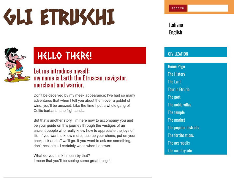
The Etruscans: The Port
This site offers a great example of the importance of the sea in European life. Read about the Etruscans of Italy, their ports and navigation, maritime trade, and war at sea.
Boise State University
Boise State University: The Punic Wars: Carthage
A description of Carthage and its economic importance in the ancient world.
University of California
Earthguide: Maps: Shaded Relief: Mediterranean [Pdf]
View a digital image of a colored shaded relief map of the Mediterranean.
Countries and Their Cultures
Countries and Their Cultures: Palestinians
Palestinians inhabit an area east of the Mediterranean Sea and south of Lebanon. The Jordan River, Lakes Huleh and Tiberias, and the Dead Sea separate Palestine from Jordan. Christians refer to Palestine as "the Holy Land." Today...
Wikimedia
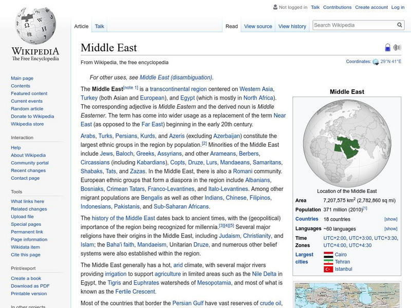
Wikipedia: Middle East
Wikipedia offers detailed information on the Middle East, an area that extends from the southeastern parts of the Mediterranean Sea to the Persian Gulf.
Smithsonian Institution
Freer | Sackler Galleries: Luxury Arts of the Silk Route Empires
Two thousand years before today's "global economy," an exchange network linked the continent of Asia via the Silk Route. Between the first and eighth centuries of the common era, the empires and states of Asia often came into conflict as...
Curated OER
Educational Technology Clearinghouse: Maps Etc: The Barbary States, 1802 1805
A map of the Mediterranean Sea region showing the Barbary States and southern Europe at the time of the Tripolitan War (First Barbary War - 1801-1804) between the United States and the North African Ottoman Empire regencies. The map...
Enchanted Learning
Enchanted Learning: Zoom School: Africa
What continent is bordered by the Atlantic Ocean, Indian Ocean, Red Sea, and the Mediterranean Sea? Click here and find out. Explore art, animals, flags, crafts, explorers, geography, and more to learn about Africa.
The Wharton Group
Discover France: Cote D'azur Corse
A very brief overview of the French region of Cote d'Azur - Corse. It includes a short history, a brief discussion of geology of the region, and an overview of Corse(Corsica), the fourth largest island in the Mediterranean Sea. There are...
Hofstra University
Hofstra Univ: Why Was Bubonic Plague So Devastating to European Society? [Pdf]
The Bubonic Plague or "Black Death" came out of the eastern Mediterranean along shipping routes, reaching Italy in the spring of 1348. By the time the epidemic was abating in 1351, between 25% and 50% of Europe's population had died. The...
BBC
Bbc: News: Regions and Territories: Gibraltar
BBC News features a general overview of the British territory of Gibraltar. Focus is on history, current information, country facts, political leaders, and news media. Provides links to recent audio and video news articles, a timeline of...
Phonecian Encyclopedia
Encyclopedia Phoeniciana: Phoenicia
The first paragraph gives some history and major achievements of the Phoenicians. Scroll down for alphabet and other achievement information.
Nations Online Project
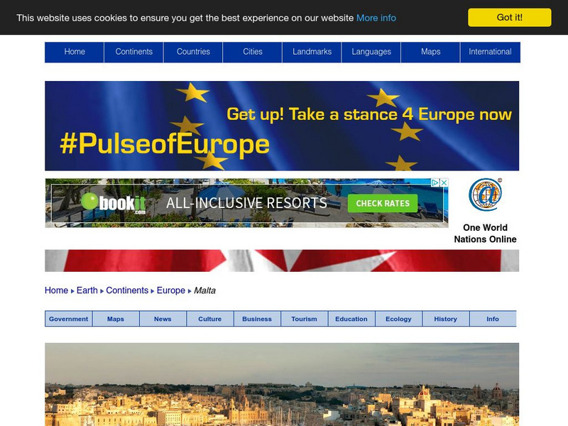
Nations Online: Malta
Presents a virtual travel guide and country profile of the European island nation of Malta, background overview, and numerous links to extensive information on the nation's culture, history, geography, economy, environment, population,...
Curated OER
Principal Railway and Steamship Routes, Central Europe and Mediterranean, 1910
Map shows principal railways and steamship routes throughout Central Europe and the Mediterranean Sea in 1910. This map also shows major cities and rivers, and uses the Mercator's Projection.
Curated OER
Etc: Maps Etc: The Roman Empire Under Augustus, 27 Bc to Ad 14
A map of the extent of the Roman Empire under Augustus (63 BC to AD 14). The map is color-coded to show the territories, and uses Latin place names such as Mare Internum (Mediterranean Sea), Pontus Euxinus (Black Sea), and Danubius Fl....
Curated OER
Etc: Land of the Hebrews, 971 931 Bc
A map of the Hebrew lands in the time of King Solomon, around 971 to 931 BC. The map shows the land of Canaan, with the boundaries of Phoenicia, Israel, Philistia, and Judah, the important coastal cities of Sidon, Tyre, Joppa, Ashdod,...
Savvas Learning
Pearson Education: Greek and Hellenistic Civilization [Pdf]
This is a summary of chapter three of a textbook on world history. It looks at the contributions of the ancient Greeks to western civilization, the breadth of their civilization in the Mediterranean and the Black Sea regions, and their...
War Times Journal
War Times Journal: Letters and Dispatches of Horatio Nelson
A collection of writings by the famous British admiral who died at the Battle of Trafalgar in 1805. The writings give valuable details about British naval tactics during the Napoleonic Wars.
Other
Macedonian Cultural and Historical Resource: Climate
Macedonian Cultural and Historical Resource Center provides a source of general information on climate and weather for the Republic of Macedonia.
Travel Document Systems
Tds: Croatia: Geography
A very brief discussion of the physical environment of Croatia. You can find out about its terrain, climates, and island-filled coast. Information is from the CIA World Fact Book.
Information Technology Associates
Slovenia: Geography
An overview of the geography, climate, and terrain of Slovenia. Information is from the CIA World Factbook.
Curated OER
Educational Technology Clearinghouse: Maps Etc: Physical Map of Europe, 1916
A physical map of Europe from 1916 showing color-coded elevations and water depths for the area extending from Iceland to the natural boundary between Europe and Asia (Ural Mountains to the Caspian Sea), and the Arctic Circle to the...
Curated OER
Educational Technology Clearinghouse: Maps Etc: Physical Europe, 1916
A physical map of Europe from 1916 showing color-coded elevations and water depths for the area extending from Iceland to the Ural Mountains in Russia Proper, and the Arctic Circle to the Mediterranean Sea. Land elevation colors range...
Curated OER
Educational Technology Clearinghouse: Maps Etc: Map of Egypt, 1858
Map of Egypt in 1858 from the Nile Delta south to the First Cataract, showing Cities, trade centers, oases, ports, railways, and the site of the proposed Suez Canal. Portions of the Libyan Desert, the Mediterranean Sea, the Red Sea and...


