50 States
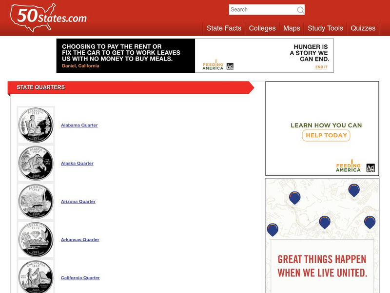
50 States: State Quarters
A list of the quarters representing each of the states. Each thumbnail links to an enlarged image with a description of the coin.
US Department of Labor
U.s. Department of Labor: Minimum Wage Laws in the States
A look at the minimum wage laws in the 50 states.
50 States
50 States: State Flags
Chart of the 50 states with links to their official state flags, with a description and images for each.
50 States
50 States: Statehood Dates
A chart listing the dates each state achieved statehood and notes bout their status prior to statehood.
50 States
50 States: State Nickname List
Chart listing state names, capital cities, and state nicknames.
50 States
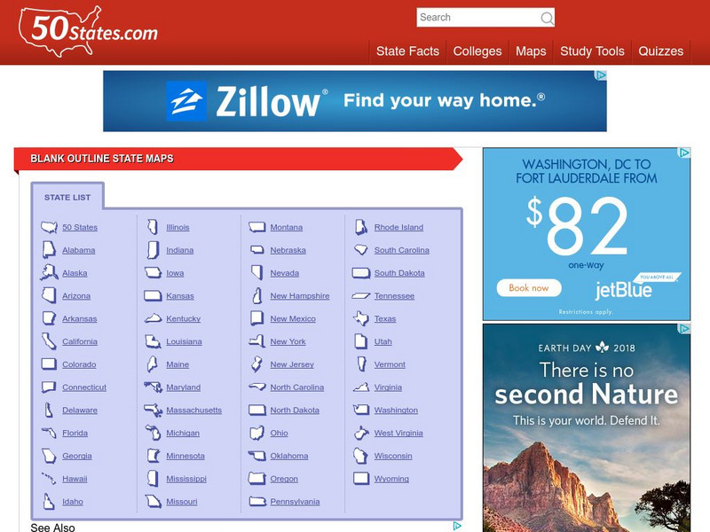
50 States: Blank Outline State Maps
All fifty states are linked here to outline maps of each. Also includes outline map of the United States.
50 States
50 States: Tennessee State Flag
An image of the Tennessee state flag with a detailed description.
Curated OER
Teachnology: 50 States of America Teaching Theme
Are you looking for some great resources to enhance teaching the United States? Teachnology provides an ambitious collection of worksheets, lesson plans, activities and more to help.
Curated OER
Teacher Oz's Kingdom of History: 50 States of the u.s.a.
A site with information such as maps, flags and songs of each of the 50 states in the US.
Curated OER
Wikipedia: National Historic Landmarks in Louisiana: Louisiana State Capitol
An image of the Louisiana State Capitol.
USA Today
Usa Today: Weather: u.s. Weather Forecasts
Weather forecasts for all 50 states, Puerto Rico, the US Virgin Islands, and the islands of American Samoa and Guam. These enable students to do comparison studies and/or receive current weather forecasts.
Curated OER
Etc: United States Growth in Population by Decades, 1900 1910
A map of the United States showing the increase in population per state between the 1900 and 1910 census. The map is keyed to show State population increases ranging from under 2 per cent to 50 per cent and over. "This is a map...
270 To Win
270towin: 1984 Presidential Election
Provides a map and detailed electoral facts for the presidential election of 1984 won by Ronald Reagan carrying 49 of the 50 states.
Curated OER
Wikipedia: National Historic Landmarks in Washington (State): Panama Hotel
An image of the Panama Hotel.
Curated OER
Finding Dulcinea: European Micro States
From a commercial site. You can find a brief description of several of the European microstates and links to additional information about them.
Curated OER
Etc: Maps Etc: Route of the Panama Isthmian Canal, 1904
A map from 1904 of the Panama Canal showing terrain relief of the isthmus, noting the 'Canal always follows the line of the Railroad’ from Colon to the city of Panama. "For generations the Panama Canal had been the dream of man and for...
Curated OER
Nova Scotia, New Brunswick, Prince Edward Island, and Newfoundland, 1903
A map from 1903 of the Canadian Maritime Provinces of New Brunswick, Nova Scotia, Prince Edward Island, and an inset of Newfoundland. The map shows province and county borders, rivers, cities, and railroads. "New Brunswick, a province of...
Curated OER
Etc: Maps Etc: Long Distance Routes Between Boston and San Francisco, 1902
From Boston to San Francisco, showing 50 of the best business cities in the United States.
Curated OER
Web Gallery of Art: Round Tower
An image of "Round Tower", created by Giovanni Battista Piranesi from 1749-50 (Etching, 1st state of 6, 556 x 418 mm).
Curated OER
Geography
Mr. X of the Letter People has disappeared in one of the 50 U.S. States. You must use your U.S. geography skills to help track him down.
Curated OER
Mr X
Mr. X of the Letter People has disappeared in one of the 50 U.S. States. You must use your U.S. geography skills to help track him down.


