Curated OER
Oklahoma
In this geography instructional activity, students read a 2 page selection detailing the location, history and early statehood of Oklahoma. They answer 10 true or false questions based on the reading.
Curated OER
A Cowboy Song
Fifth graders sing "Cowboy Lullaby" with two-part harmony and discuss the text of the song.
Texas Public Broadcasting
Texas Pbs: Texas Our Texas: The Land and Its Early People: Prehistory 1519
Learn how the four different regions with their diverse geographical features make Texas' environment quite varied and unique, and how this influenced early settlers in the state.
Other
Mr. Palm: Regions of Texas
The four major geographic regions of Texas are described in text and a slideshow, with a discussion of their landforms, climate, vegetation, animals, and resources.
Curated OER
University of Texas: Kenya: Relief Map
A relief map of Ethiopia clearly showing the Great Rift Valley, mountains, and plains. Clicking on the map will enlarge it. From the Perry Castaneda Collection.
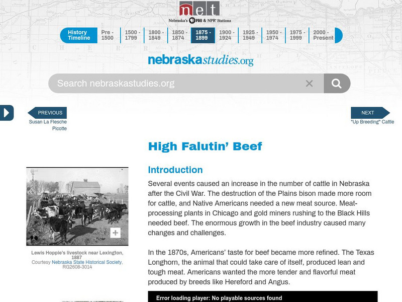
Nebraska Studies
Nebraska Studies: High Falutin' Beef
This is an impressive history of the introduction of beef to the Great Plains region complete with videos, photos, and lesson plans.
Texas State Historical Association
Texas State Historical Association: Agriculture
Read about the history of the agricultural industry and how it shaped the great state of Texas throughout the nineteenth and twentieth centuries.
Ibis Communications
Eye Witness to History: The Old West
This resource provides first-hand accounts and background information on the Old West. Content touches on crossing the plains, cowboys, train robberies, Dalton Gang's Last Raid, Custer's Last Stand, the Death of Billy the Kid, and much...
Curated OER
University of Texas: Central Africa: Relief Map
A good relief map of the countries of Central Africa showing mountains, lakes, and valleys. Clicking on the map will enlarge it. From the Perry Castaneda Collection.
Ed Koday
Web Archive: Luna Moths
Luna moths are one of the most unusual and beautiful of the North American moths known as Saturnidae. They are well known for their green-yellow colors and long tails,and although they are often seen in pictures, they are a real surprise...
Curated OER
Educational Technology Clearinghouse: Maps Etc: Callaban Divide, 1911
A contour map from 1911 showing the summits of the Callaban Divide on the Great Plains of Texas.
Curated OER
Etc: Maps Etc: Relief of the United States, 1904
A relief map from 1904 of the United States showing the mountain systems and highlands, plateaus, plains, lakes, rivers, and coastal features. This map divides the area into the main groups of the St. Lawrence Basin, Allegheny Region,...


