Hi, what do you want to do?
Curated OER
Causes and Effects of Earthquakes and Volcanoes
Tenth graders discuss the techniques and tools scientists use to study about the earth, including techniques used to determine geological time scales. They share their personal experiences of earthquakes and volcanoes.
PBS
Pbs Learning Media: Tectonic Plates, Earthquakes, and Volcanoes
This interactive activity produced for Teachers' Domain shows the relationship between tectonic boundaries and the locations of earthquake events and volcanoes around the world.
Georgia Department of Education
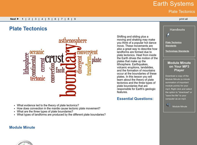
Ga Virtual Learning: Plate Tectonics
In this interactive lesson you will learn about the theory of plate tectonics and the three types of plate boundaries that are responsible for Earth's geologic features.
CK-12 Foundation
Ck 12: Fourth Grade Science: Earth Science: Theory of Plate Tectonics
[Free Registration/Login may be required to access all resource tools.] Discusses what a tectonic plate is and how scientists can recognize its edges, how the plates move by convection in the mantle, the three types of plate boundaries...
PBS
A Science Odyssey: You Try It: Plate Tectonics
Using your computer mouse you can simulate transforming, collisional, divergent and convergent plate boundaries. Descriptions of each plate boundary are also available.
Science Struck
Science Struck: Theory of Plate Tectonics
A detailed discussion of plate tectonics. Looks at continental drift, types of tectonic plates and plate boundaries, and primary and secondary tectonic plates.
Other
An Introduction to the Abc's of Plate Tectonics
Resource presents the basics of plate tectonics, as well as a summary of the current thinking about plate tectonics and its mechanisms.
CK-12 Foundation
Ck 12: Earth Science: Theory of Plate Tectonics
[Free Registration/Login may be required to access all resource tools.] The history of plate tectonics past and future.
Vision Learning
Visionlearning: Earth Science: Plate Tectonics I: Geologic Revolution
Instructional module focusing on the development of plate tectonic theory. Discussion includes the evidence of Pangaea, and the processes of seafloor topography and seafloor spreading. Site also includes an interactive practice quiz and...
Other
Paleomap Project: Earth History
The PALEOMAP Project illustrates the plate tectonic development of the ocean basins and continents, as well as the changing distribution of land and sea during the past 1100 million years. Includes virtual 3D paeloglobes.
Other
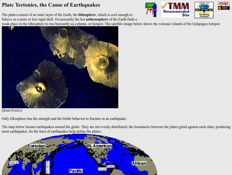
Nevada Seismological Laboratory: Plate Tectonics, the Cause of Earthquakes
This site contains an in-depth explanation of the causes of earthquakes as they relate to plate tectonics, and also has many nice and easy to read pictures, maps, and diagrams of plate tectonics and earthquakes.
Extreme Science
Extreme Science: A Lesson in Plate Tectonics
With its clickable map, this site provides text and graphics on spreading boundary, converging boundary, subduction zone, transverse boundaries and faults.
TeachEngineering
Teach Engineering: Earthquakes Living Lab: The Theory of Plate Tectonics
Working in pairs, students think like engineers and connect what they understand about the theory of plate tectonics to the design of structures for earthquake-resistance.
PBS
Pbs: Mountain Maker, Earth Shaker: You Try It
What can a hard-boiled egg tell you about the Earth? Check this site out to learn. Be sure to click on "Plate Tectonics activity" for a graphic representation.
Science Struck
Science Struck: The Theory of Continental Drift
Explains what is meant by the Theory of Continental Drift, its earliest proponents, the stages of continental drift, the causes related to tectonic plate movement, the evidence that has been found, and how the Himalaya Mountains offer...
CK-12 Foundation
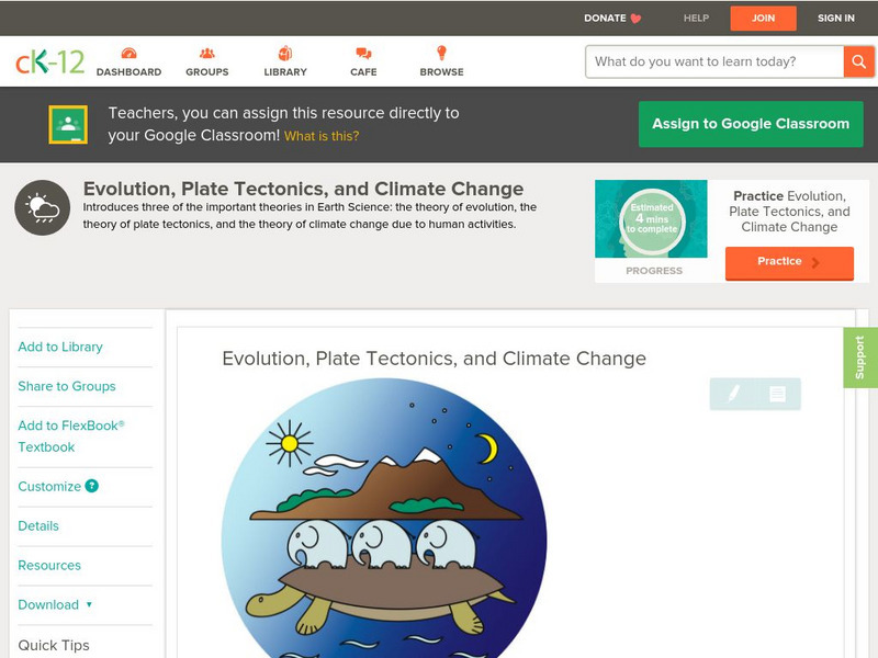
Ck 12: Earth Science: Evolution, Plate Tectonics, and Climate Change
[Free Registration/Login may be required to access all resource tools.] Looks at the theories of evolution, plate tectonics, and global warming.
CK-12 Foundation
Ck 12: Earth Science: Evolution, Plate Tectonics, and Climate Change
[Free Registration/Login may be required to access all resource tools.] Looks at the theories of evolution, plate tectonics, and global warming.
University of California
Ucmp: Plate Tectonics
Provides hyperlinks to the history behind and the mechanisms driving plate tectonics. Be sure to click on the globe icons for animations of plate tectonics.
National Association of Geoscience Teachers
Nagt: Geology Map Observations
In jigsaw groups, students construct the Earth's tectonic plates using geologic maps. Skills such as careful observation, presentation, and synthesis are used to create a map that shows the type and location the plates.
Vision Learning
Visionlearning: Plate Tectonics: The Origin of Plate Tectonic Theory
Discover Alfred Wegner's ideas relating to continental drift and seafloor spreading which are both evidence to the concept of plate tectonics.
Indiana University
Indiana University: Evolution of Continents and Oceans
A course lecture on how the Earth's geological features have evolved through the movements of tectonic plates. Explains the different types of plate boundaries and how they manifest in geological formations. Also describes the structure...
CK-12 Foundation
Ck 12: Earth Science: Evolution, Plate Tectonics, and Climate Change Study Guide
[Free Registration/Login may be required to access all resource tools.] Summarizes the key points about three theories in Earth Science: the theory of evolution, the theory of plate tectonics, and the theory of climate change due to...
Khan Academy
Khan Academy: Quiz: Why Is Plate Tectonics Important?
Test your knowledge of plate tectonics with this quiz. Do you understand why they are so important?
Other
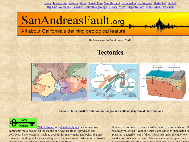
San Andreas fault.org: Tectonics
Provides a good overview of plate tectonics with embedded links to related information.


