Hi, what do you want to do?
Curated OER
Magellan
Students identify the route of Magellan's voyage. In this map skills lesson plan, students use a globe to identify various coordinates where Magellan traveled.
Curated OER
The Country of Chile - Map Work
In this map learning exercise, students label a map of Chile by following 11 directions given at the bottom of the page. They label landforms and water bodies associated with the country.
Curated OER
Major American Water Routes
Sixth graders locate and identify the major bodies of water and waterways in the United States. Through a simulation activity, they describe how early explorers would have described their surroundings. Working in groups, they create...
Curated OER
Extra Alignment
Students create text that is aligned to the center of the page. They align images and blocks of text. They add specific spacing around images. They create text that is right justified.
Curated OER
Global History & Geography: Latin America
The instructions say to use a text-book to label 11 different regions in modern Latin America. If a text-book is not available a map can be found on-line and printed for student reference.
Princeton University
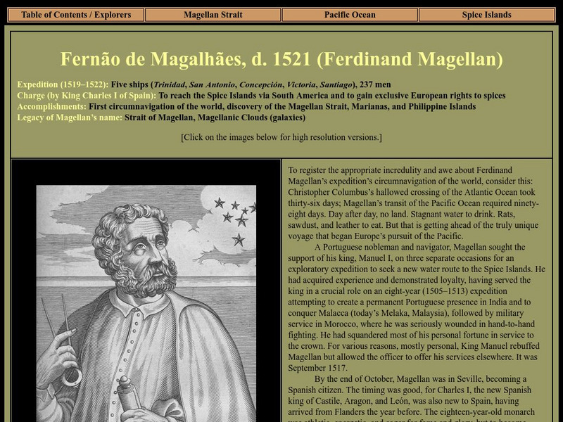
Strait Through: Magellan to Cook & the Pacific: Ferdinand Magellan
An interesting site that recounts Ferdinand Magellan's voyage and his goal of circumnavigating the globe. Included are portraits, drawings, and maps from the Princeton University Library.
Princeton University
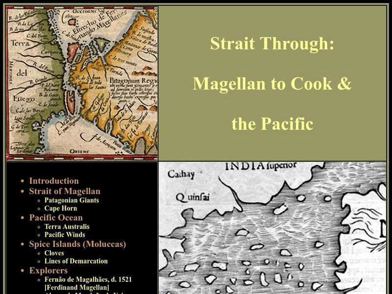
Strait Through: Magellan to Cook & the Pacific
A comprehensive look at the Pacific Islands and their explorers, including Magellan and James Cook. Includes a look at literary classics such as the Rime of the Ancient Mariner and Robinson Crusoe.
Enchanted Learning
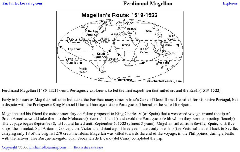
Enchanted Learning: Ferdinand Magellan
This site provides a printable description of the life of Ferdinand Magellan and his travels. Contains a global map indicating his route.
Curated OER
Etc: Maps Etc: Relief Map of South America, 1890
A relief map from 1890 showing terrain features of South America. "South America is the fourth continent in size, and strikingly resembles North America in the arrangement of its relief-forms. It has, like the latter, a predominant...
Curated OER
Etc: Maps Etc: Physical Map of South America, 1898
A map from 1898 of South America showing the general physical features including mountain systems, prominent peaks and volcanoes, river and lake systems, plateaus, and coastal features. The map includes an insert of the Isthmus of...
Curated OER
Educational Technology Clearinghouse: Maps Etc: Tierra Del Fuego, 1915
Map of Tierra del Fuego at the southern tip of South America, including Punta Arena (the southernmost city of the world), predominant mountain peaks (Mt. Hope, Mt. Darwin, Mt. Sarmiento), the Strait of Magellan, local natural resources...
Curated OER
Etc: Maps Etc: Argentina, Chile, Paraguay, and Uruguay, 1915
Map of Argentina, Chile, Paraguay, and Uruguay showing boundaries current to 1915, major cities, rivers, Strait of Magellan, Patagonia, the Falkland Islands, and the southern Andes mountain chain including Mt. Aconcagua.


