PBS
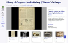
Library of Congress: Media Gallery | Women's Suffrage
Designed to support a study of women's suffrage in the United States, a primary source document set from the Library of Congress includes images, song sheets, articles, statistical documents, political cartoon, and audio recordings...
PBS
19th Amendment to the U.S. Constitution - Women's Right to Vote (1920) and Resource Materials
A facsimile of the 19th Amendment, a transcript of the amendment, a photograph of a suffragist march, and a background information sheet that details the struggle to get the amendment passed comprise a packet of resource materials...
Centers for Disease Control and Prevention
Tobacco Use and Secondhand Smoke Exposure Is High in Multiunit Housing
Much has been written recently about the danger of secondhand smoke. Laws have been passed to limit that exposure in offices, transportation centers, and public areas. But what about apartment buildings, condos, public housing, and other...
Curated OER
Washington, D.C. Map
Here is an outline map of Washington, DC. Some of the points of interest in the city are labeled, as are Maryland, Virginia and Arlington. There are plenty of important monuments and locations not identified, making for a good...
USA.gov
How The Supreme Court Works
Just how does a case come before the highest court in the land? A graphic flow chart unpacks how plaintiffs come before the Supreme Court. Graphics include background on the nine justices and just how many cases they actually hear each...
Centers for Disease Control and Prevention
Current Cigarette Smoking Among Adults Infographic
Adult cigarette smoking has decreased in recent years, but it is still the number one cause of preventable disease and death in America. An infographic breaks cigarette smoking down by education level, geographical region, gender, race,...
Centers for Disease Control and Prevention
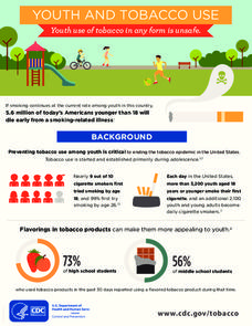
Youth and Tobacco Use
There are a number of social, emotional, and physiological reasons why teenagers start smoking, and why they continue smoking into adulthood. Help class members understand why smoking begins in youth—and how to protect themselves from...
US Department of Agriculture
United States Department of Agriculture: State Fact Sheets
State fact sheets provide information on population, income, education, employment, federal funds, organic agriculture, farm characteristics, farm financial indicators, top commodities, and exports, for each state in the United States....
Houghton Mifflin Harcourt
Holt, Rinehart and Winston: World Atlas: United States
Features a detailed map of the United States with some basic facts. Click on each state name to get even a more detailed map and information.
State of Florida
Florida Department of State: State Symbols
Learn about all of Florida's state symbols on this colorful page. Click on the symbol for a larger picture and more information.
NOAA
Noaa: Esrl: United States Climate Page
A "clickable" map of the US that allows you to find information about a state's or city's climate and climate history.
NOAA
Noaa: Esrl: United States Climate Page
A "clickable" map of the US that allows you to find information about a state's or city's climate and climate history.
PBS
Pbs: American Experience: Reconstruction State by State
Select any US state to learn about how the Civil War affected the agriculture and economy of that state.
Library of Congress
Loc: Primary Sources by State
An interactive map to search for extensive collections of primary sources for each of the United States.
Other
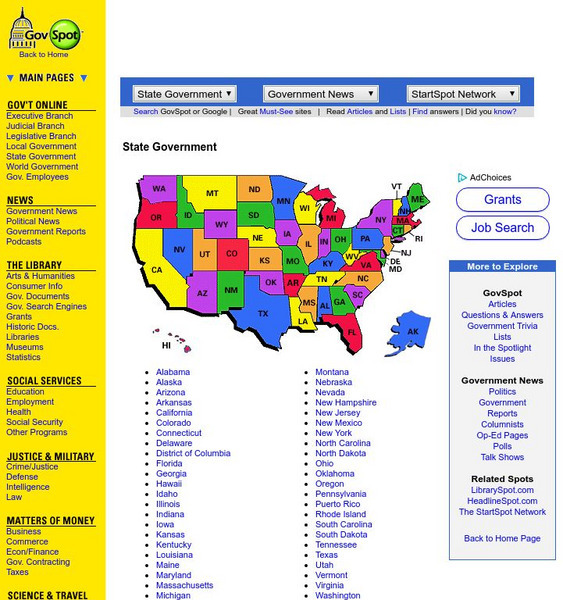
Govspot.com State Government
Govspot.com lists information for each state government's structure and elective and appointive offices.
50 States
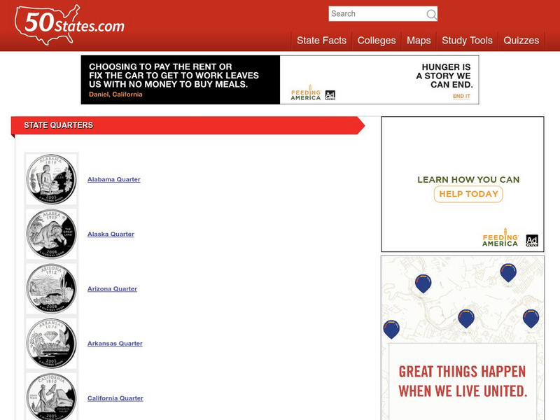
50 States: State Quarters
A list of the quarters representing each of the states. Each thumbnail links to an enlarged image with a description of the coin.
Frostburg State University
Frostburg State University: Antoine: Chemistry: Matter
A slideshow illustrating the science of matter from its properties, states, and classification to mixtures and the Periodic Table of Elements.
Teaching American History
Teaching American History: State by State Ratification Table
A chart illustrating the order of states as they ratified the new constitution. Find the delegates from the states, vote, population, and outcomes.
United Nations
United Nations: Cartographic Section: Baltic States [Pdf]
This United Nations map of the Baltic states shows roads, railroads, cities, geographic features, and neighboring countries.
Curated OER
University of Texas: Federated States of Micronesia: Political Map
A political map of the Federated States of Micronesia showing the state names of the islands and the capitals. Clicking on the map will enlarge it. The inset shows the islands in relation others in the Pacific. From the Perry Castaneda...
Federal Bureau of Investigation
Fbi: Crime in the United States 2012: Table 43: Arrests by Race, 2012
Three tables of arrest statistics in the United States for 2012. The types of offenses committed are listed, and the ethnic information for the perpetrators. The first table shows all the data. The second one shows data for arrests of...
US Department of Labor
U.s. Department of Labor: Minimum Wage Laws in the States
A look at the minimum wage laws in the 50 states.
Virginia History Series
Virgina History Series: Virginia State History Post Wwii to Present Day [Pdf]
Visualize the major events in the last half of the 20th century such as major wars and civil rights issues through the lens of the state of Virginia. In addition, learn about the pop culture of this time specifically in Virginia. Enjoy...
University of Nebraska
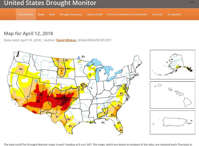
United States Drought Monitor
This interactive map of the United States provides an extensive overview of drought conditions. You can watch animations of drought patterns over different time intervals.
Other popular searches
- United States History
- States of Matter
- United States
- U.s. States
- United States Maps
- Fifty States
- Constitution United States
- 50 States
- United States Government
- United States Immigration
- United States Regions
- United States Armed Forces






![United Nations: Cartographic Section: Baltic States [Pdf] Graphic United Nations: Cartographic Section: Baltic States [Pdf] Graphic](https://d15y2dacu3jp90.cloudfront.net/images/attachment_defaults/resource/large/FPO-knovation.png)

