Curated OER
University of Texas: Federated States of Micronesia: Political Map
A political map of the Federated States of Micronesia showing the state names of the islands and the capitals. Clicking on the map will enlarge it. The inset shows the islands in relation others in the Pacific. From the Perry Castaneda...
Other
This Is My India: Political Map of India
A colorful political map of India, emphasizing the different states of the country. Links to additional maps of India are included.
Michigan State University
Michigan State University: Map of Afghanistan 2001
A detailed 2001 political map of Afghanistan including the edges of surrounding countries.
Curated OER
University of Texas: Sudan: Political Map
A political map of Sudan showing its states' boundaries, major cities and highways, and neighboring countries. Clicking on the map will enlarge it. From the Perry Castaneda Collection.
Other
Five Thirty Eight: Politics: Mapping the Changing Face of the Lone Star State
Describes in detail the political landscape of Texas, using maps and data from recent elections. Demographic factors that are impacting political leanings are explained, for example, urbanization and ethnicity, and how these may affect...
Curated OER
University of Texas: Political Map of India
This map of India from the Perry-Castaneda Collection shows India's major cities, borders of the individual states, major highways, and rail lines.
Curated OER
University of Texas: Federated States of Micronesia: Small Political Map
Although small, this map of the Caroline Islands, whose country name is the Federated States of Micronesia, shows clearly the various islands that make up this group. From the Perry Castaneda Collection.
ClassFlow
Class Flow: Maps of the United States
[Free Registration/Login Required] This is a collection of physical and political maps of the United States broken up by region.
PBS
Pbs Learning Media: South America Interactive Map
This interactive map explores the continent and countries of South America. Through political, physical, population, and climate map layers and individual country views, learn about the boundaries that define the continent's 12 sovereign...
The Newberry Library
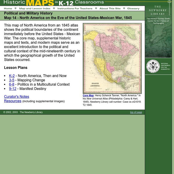
Newberry: Political and Military History: Map 14: u.s. Mexican War, 1845
Lessons for students in K-12 depicting North America prior to the United States and Mexico War, 1845. Students explore the mid-century political and cultural context in which the U.S. experienced growth and expansion.
Other
United States Naval Academy: Papacy and Empire
This comprehensive summary details the history of the strained relationship between the kings and popes during the time period of 955-1356. Their fight for dominance is outlined by date with primary source documents, pictures, artwork,...
Virginia History Series
Virginia History Series: Virginia State History Wwii Era (1940 1948) [Pdf]
WWII awakened a massive development in Virginia from manufacturing to naval bases. Follow the course of the war through pictures, maps, charts and political cartoons. Visualize life in America and abroad during the war.
Texas State Library and Archives Commission
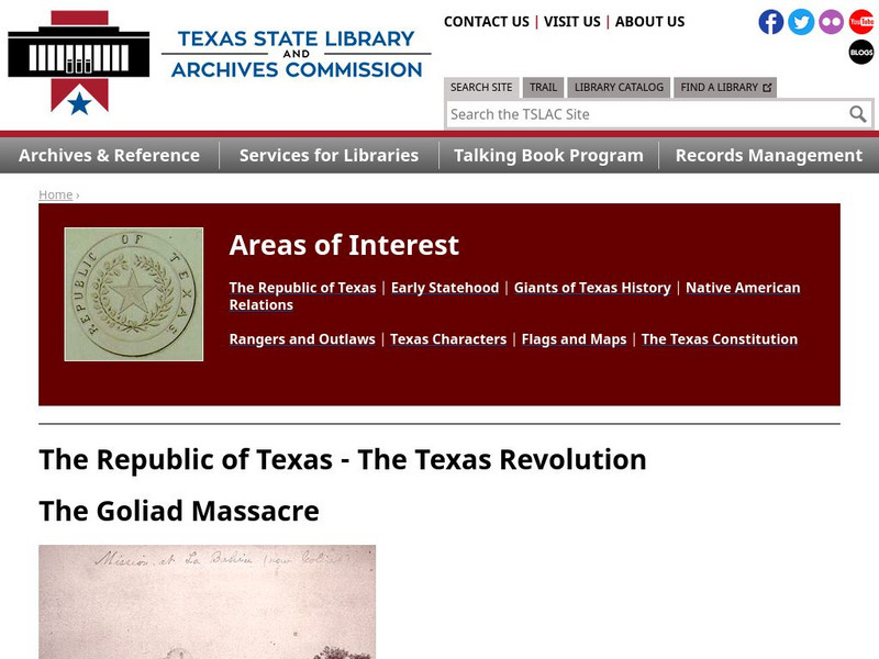
Texas State Library and Archives Commission: The Goliad Massacre
Political infighting among Texas politicians doomed military strength. In this Texas Library site read about the Goliad Massacre, which was a result of that confusion. Click on the maps and documents to seen enlargements. Links are...
Curated OER
Etc: Maps Etc: Political Map of Australasia, 1919
A political map of Australasia from 1919 showing the territories and states of Australia at the time, major cities, towns, and ports, rivers, lakes, mountain systems, reefs, and coastal features. The map includes New Zealand, New...
University of Illinois
University of Illinois: Modern American Poetry: The Depression in the United States an Overview
Learn about the agricultural, political, and economical effects of the American Great Depression.
University of Oregon
Mapping History Project: Mexican Cession: Political Boundaries
Click on this map to see the boundaries of Mexico, Texas, and the United States before the Mexican Cession, and then click again to see the land ceded to the U.S. after the Treaty of Guadalupe Hidalgo. Be sure to click to see the key...
Other
Ohio Wesleyan University: World Political Boundaries
This site has a photograph of a detailed, colorful map of political boundaries around the world with a zoom feature for a closer look. A brief description of how economic boundaries relate to political ones.
The Dirksen Congressional Center
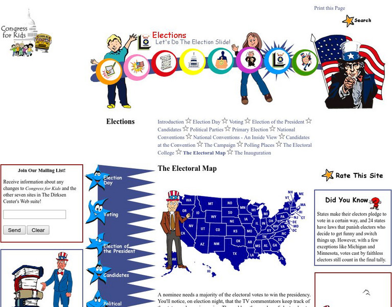
Congress for Kids: Elections: The Electoral Map
Find out how the United States Electoral College map is determined every ten years by the official Census.
Geographyiq
Geography Iq
Detailed geographical information on any country is available at this site. Within the World Map section, you can get facts and figures about each country's geography, demographics, government, political system, flags, historical and...
Curated OER
Etc: Maps Etc: Physical and Political Map of Africa, 1879
Map of pre-colonial Africa, showing the predominately native countries and territories of the African continent in 1879. The counties include the Barbary States of Morocco, Algeria, Tunis, Tripoli and Fezzan, the Egyptian territories of...
University of California
Us Geological Survey: Cartogram Central
The USGS offers detailed information on Types of Cartograms, Congressional Districts, Software for Cartograms, Publications, and a Carto-Gallery.
American-Israeli Cooperative Enterprise
Jewish Virtual Library: Un Partition Plan, September 1947
This authentic UN map depicts the political lines to be drawn to partition Palestine as established in 1947.
HotChalk
Hot Chalk: Lesson Plans Page: Edible Geography
Students learn directional geography and the physical geography of a state by making an edible map using different objects to display the different geographical landmarks.
Curated OER
Educational Technology Clearinghouse: Maps Etc: India, 1920
A map from 1920 of India, showing the political divisions and country boundaries at the time. India was officially British Raj, made up of British controlled provinces and dependent Native States or Princely states (Hyderabad, Mysore,...

