United Nations
United Nations Cyberschoolbus: Pais a Un Vistazo
Country information at-a-glance from the UN's site for children. In Spanish. Select a country to see its location, major cities, population statistics, links to country newspapers, UN mission contact information, and economic, health,...
Other
Spanish Speaking Countries, Nationalities, Capitals
This site provides the user with a list of Spanish Speaking countries, their capitals, their location and the nationalities of those who live there. Excellent resource! Provides a link to a map as well as a link to practice identifying...
University of Oregon
Mapping History Project: Territorial Expansion of the u.s. 1783 1853
Click on the sliding bar and watch how the United States territory grew with the Louisiana Purchase, Florida Acquisitions, Texas Annexation, Oregon Country, and Mexican Cession.
University of Texas at Austin
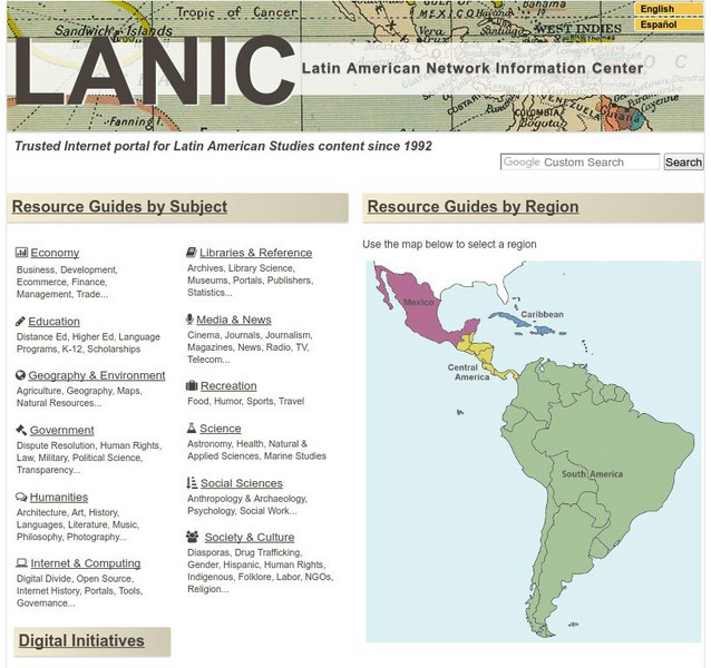
Lanic: Latin American Network Information Center
Vast network of information from and about Latin America is provided. Major topic headings include countries, economy, education, government, humanities, science, social sciences, society and culture, recreation, media and communication,...
Curated OER
Etc: Maps Etc: Political and Physical Africa, 1901
A map from 1901 of the political and physical features of Africa. The map uses color-contouring to show highlands above 2000 feet in buff tints, lowlands in greens, and the submerged part of the continental plateau in light blue. The map...
Nations Online Project
Nations Online: Spain
Presents a virtual destination guide and profile of the European country of Spain, background overview, and numerous links to comprehensive information on the country's culture, history, geography, economy, environment, population, news,...
Lizard Point Quizzes
Lizard Point: Spain: Provinces Quiz
Try this interactive geography quiz which tests your knowledge about the Provinces in the country of Spain.
Biblioteca Virtual Miguel de Cervantes
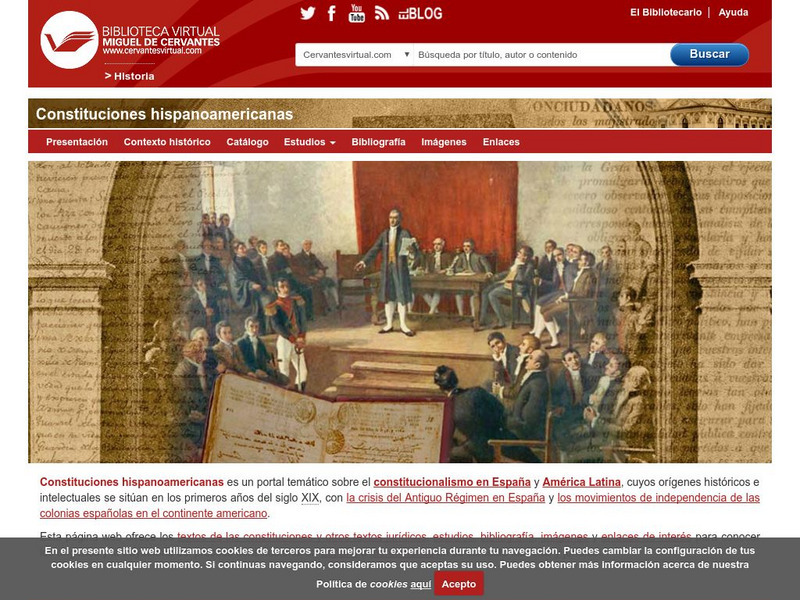
Constituciones Hispanoamericanas
Fascinating comparison of Spanish-speaking countries. Includes the flag and a general map of each country. Statistical data is provided for each country. Constitutional and government information is available for each country.
Houghton Mifflin Harcourt
Holt, Rinehart and Winston: Estados Unidos
Easy-to-read Spanish map of the United States with country information below. A nice site with links to the States and the rest of the world's countries as well!
INTERNET Red 2000
All About Spain: Las Regiones De Espana
This site gives you an interactive map of the 17 autonomous regions of Spain. After clicking on them, you get more information about the different regions. (In Spanish)
Curated OER
Educational Technology Clearinghouse: Maps Etc: Colonial Africa, 1904
A map of Africa shortly after the Berlin Conference of 1885, which established the European colonial territory claims on the continent. These European and independent boundaries include Algeria and the Saharan Sphere of French Influence,...
Curated OER
Educational Technology Clearinghouse: Maps Etc: Europe, 1713
A map of Europe after the Treaty of Utrecht at the end of the War of the Spanish Succession, showing country boundaries under control of the House of Bourbon, the Spanish Bourbons, Habsburg, Guelphs, Hohenzollern, and Savoy.
Curated OER
Etc: Claims of Various European Countries to the Us, 1643 1655
A map of the eastern coast of North America showing territorial claims of Europeans and the development of the United Colonies of New England (New England Confederation) in 1643, and the territorial changes between the Dutch and British...
Curated OER
Etc: Maps Etc: European Possessions of Africa, 1906
A map of Africa after the Berlin Conference of 1885, which established the European colonial territory claims on the continent. This map shows the Belgian, British, French, German, Italian, Portuguese, and Spanish claims, and the Turkish...
Curated OER
Educational Technology Clearinghouse: Maps Etc: Northwestern Africa, 1906
Map of Northwestern Africa in 1906 showing the Barbary States of Morocco, Algeria, Tunis, and a portion of Tripoli, the western country of Rio de Oro, and the Upper Guinea States of Gambia, Portuguese Guinea, Sierra Leon, Liberia,...
Curated OER
Educational Technology Clearinghouse: Maps Etc: Oregon Controversy, 1792 1846
A map of the Oregon Territory between the time of exploration by George Vancouver (1792) and the Oregon Treaty of 1846. The map is color-coded to show the disputed claims of the British and United States, the Russian American line of...
Curated OER
Educational Technology Clearinghouse: Maps Etc: Central North America, 1755
A map of central North America showing territorial claims at the beginning of the French and Indian War in 1755. The map shows the Oregon Country, the Spanish claims to New Spain and Florida, the French claims to Louisiana and Canada,...
Curated OER
Educational Technology Clearinghouse: Maps Etc: United States, 1821
A map of the United States and territories in 1821 after the Missouri Compromise, showing the Free States and territories, the Slave States and territories, and the transitional territories at the time. The map is color-coded to show the...
Curated OER
Educational Technology Clearinghouse: Maps Etc: Oregon Controversy, 1792 1846
A map of the Oregon Territory between the time of exploration by George Vancouver (1792) and the Oregon Treaty of 1846. The map is color-coded to show the disputed claims of the British and United States, the Russian American line of...
Curated OER
Educational Technology Clearinghouse: Maps Etc: Colonial Africa, 1914
A map of Africa in 1914, showing the presence of European powers, including British, French, German, Portuguese, Spanish, Italian, and Belgian possessions. Native states, major cities and major railways are also shown. This map reflects...
Curated OER
Educational Technology Clearinghouse: Maps Etc: Claims in North America, 1760
A map of North America in 1760 showing the territorial claims at the time. The map is color-coded to show the claims of the French, English, and the Spanish. The Oregon Country is also shown, however this was a region unexplored by the...
Curated OER
Etc: Maps Etc: United States at the Close of the Revolution, 1789
A map from 1872 of the country east of the Mississippi showing the newly formed United States after the ratification of the Constitution in 1789. The map is keyed to show the states at the time and the Spanish territories of West and...
Curated OER
Educational Technology Clearinghouse: Maps Etc: Europe, 1763
A map of Europe subtitled "The Peace Hubertsburg" or Hubertusburg. The Treaty of Hubertusburg marked the end of the Seven Years' War, and this map shows country boundaries in 1763 under control of the House of Bourbon, the Spanish...
Curated OER
Educational Technology Clearinghouse: Maps Etc: The United States, 1830
A map of the United States in 1830 showing the states and territories, the joint-occupation with Britain in Oregon Country, and the British and Spanish possessions at the time. The map shows the westward expansion of the United States,...


